


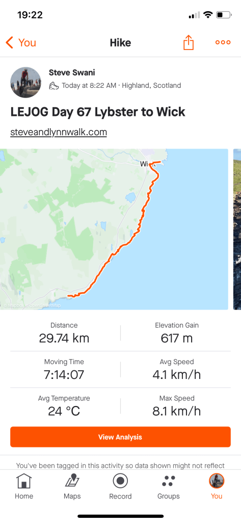
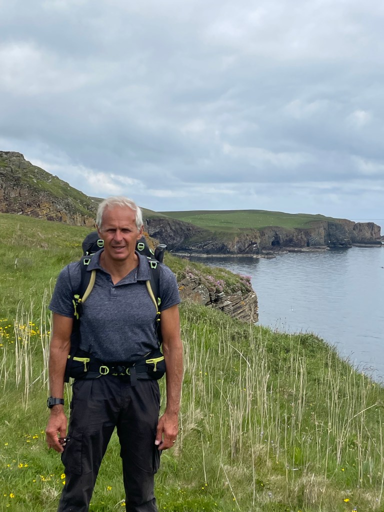
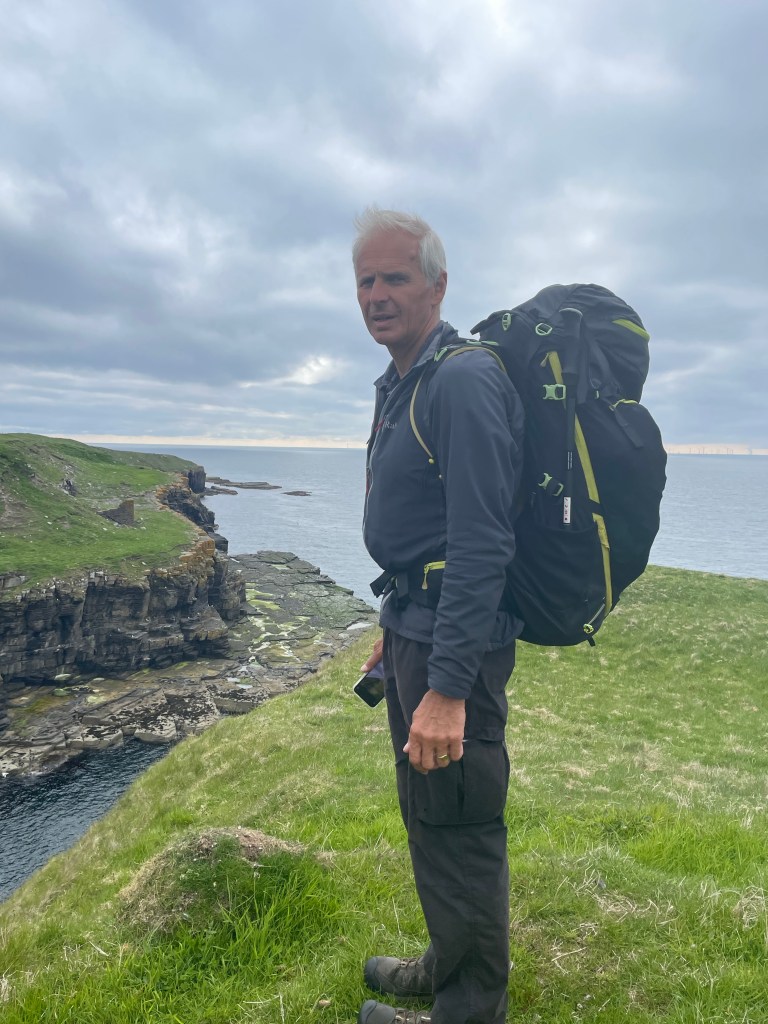
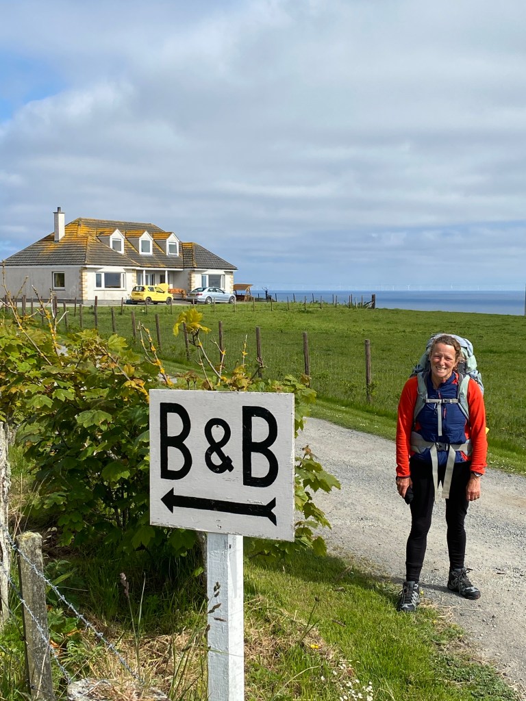
After a final night in a B & B and Scottish breakfast we were ready to set off on the last leg of the walk.
A cloudy day throughout.
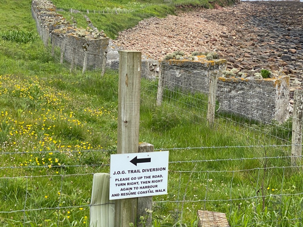
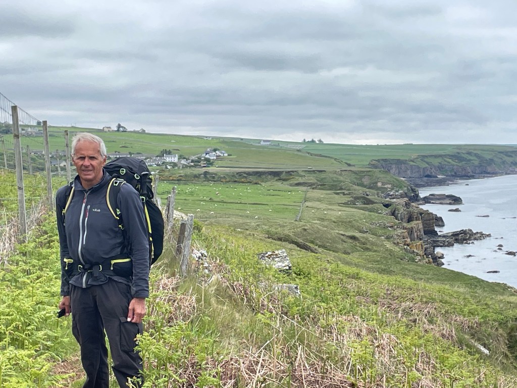
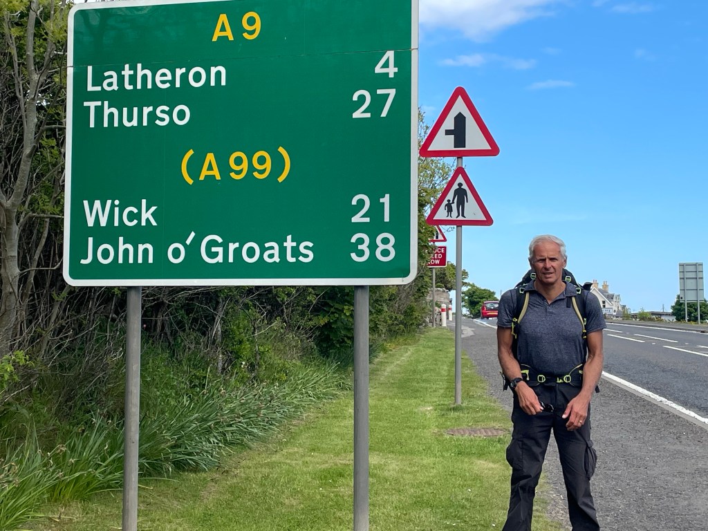
We set off along the A99 to seek out a path down to the coast to save a mile of backtracking to Keiss. We soon found a suitable field with a gate leading to the coast path.
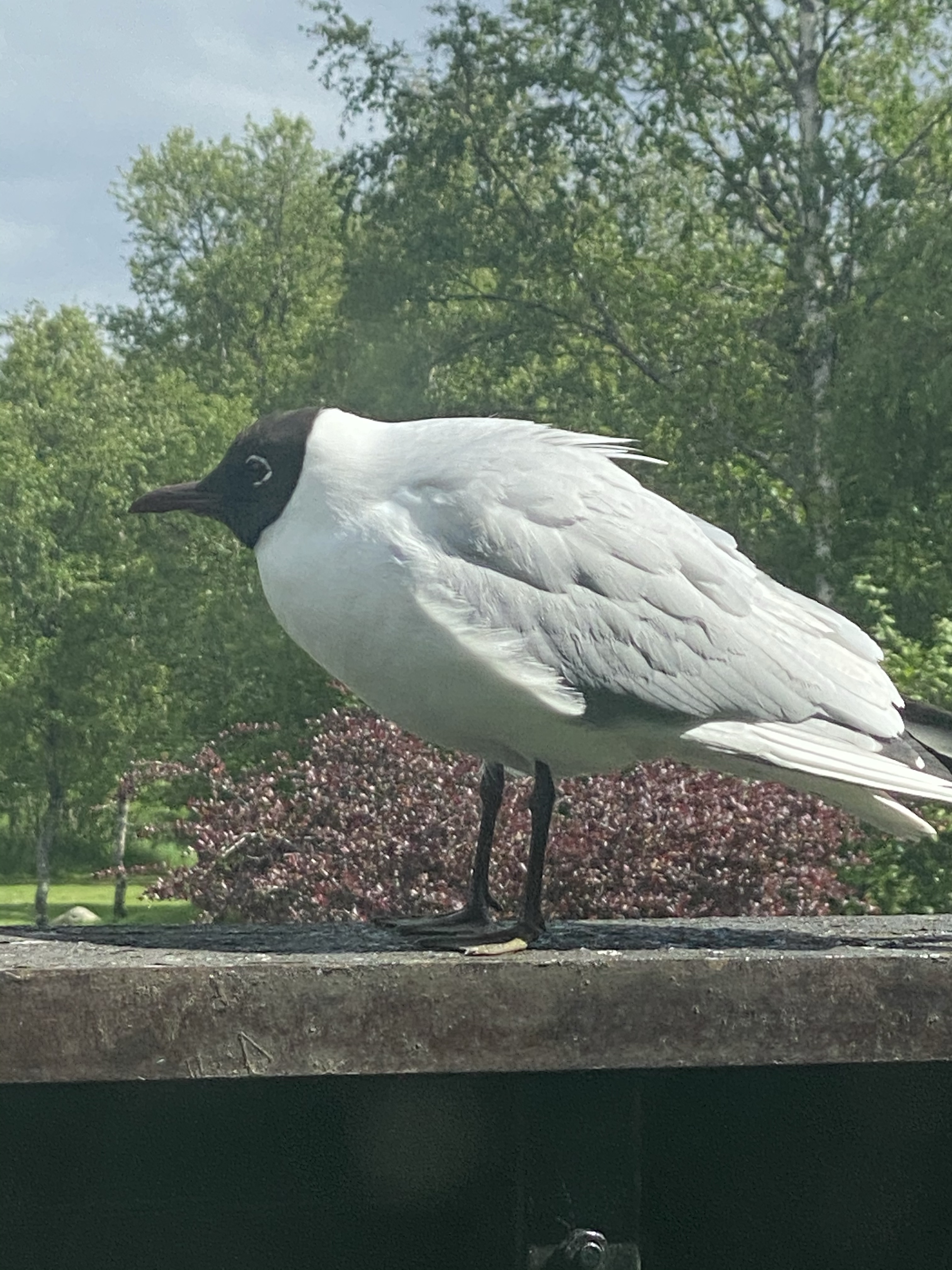
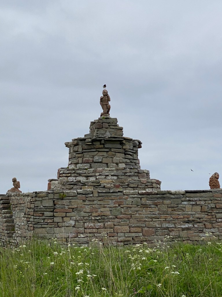
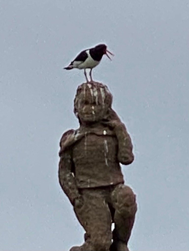
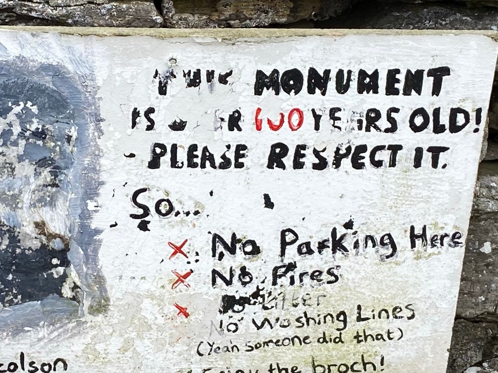
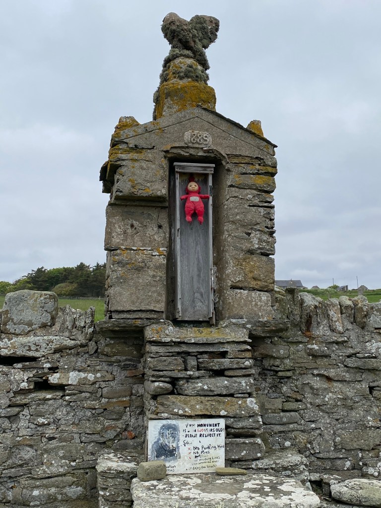
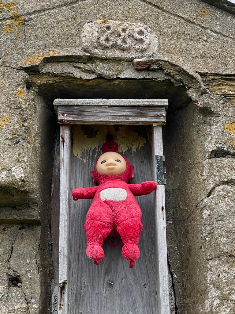
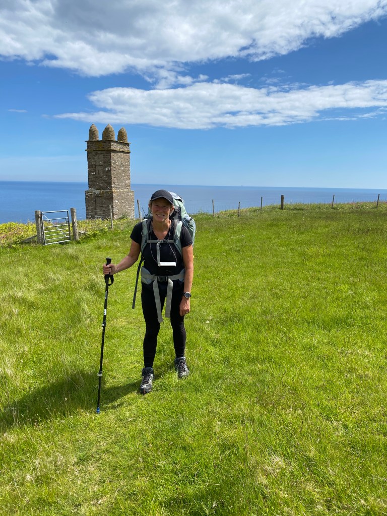
Soon after joining the path we passed the Mervin Tower, a commemorative memorial at Nybster Brock, an Iron Age settlement. The memorial was dismantled and relocated from inside to outside the settlement in 1987 as part of a job creation scheme! Oyster Catchers had been constant and noisy companions along the Caithness coastline. They had found a use for the monument.
We passed other memorials and monuments as we progressed along the coast.
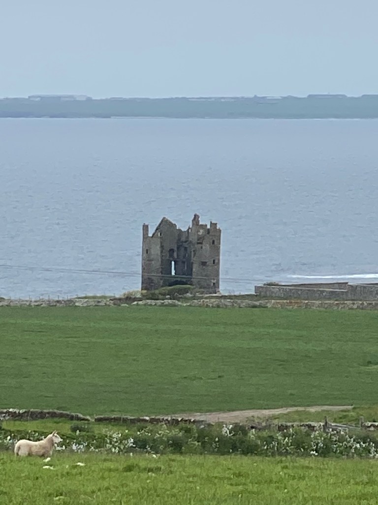
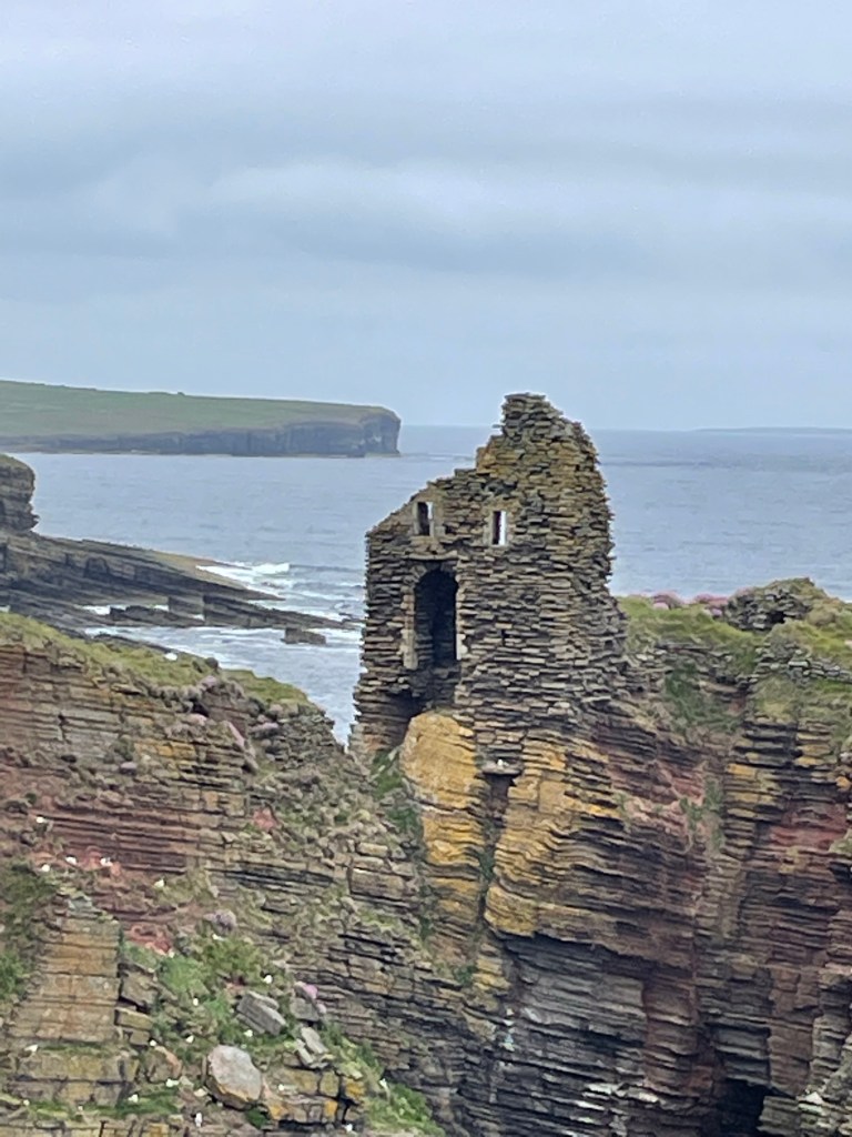
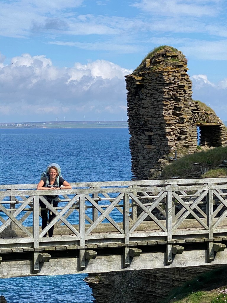
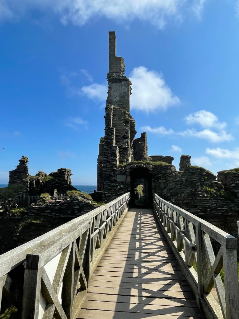
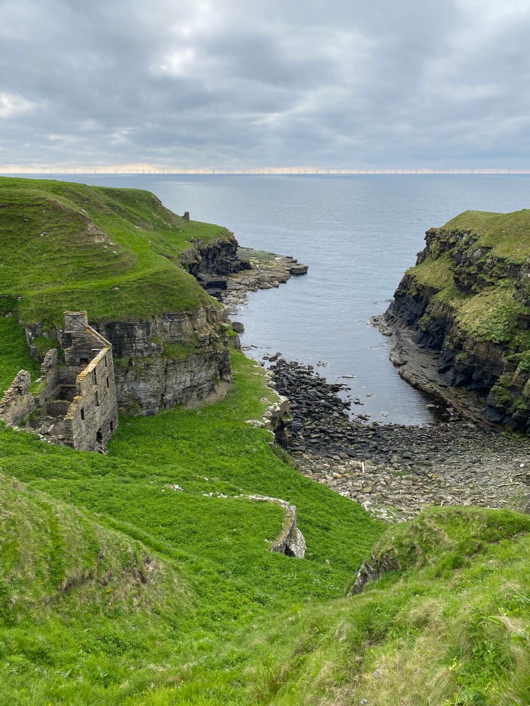
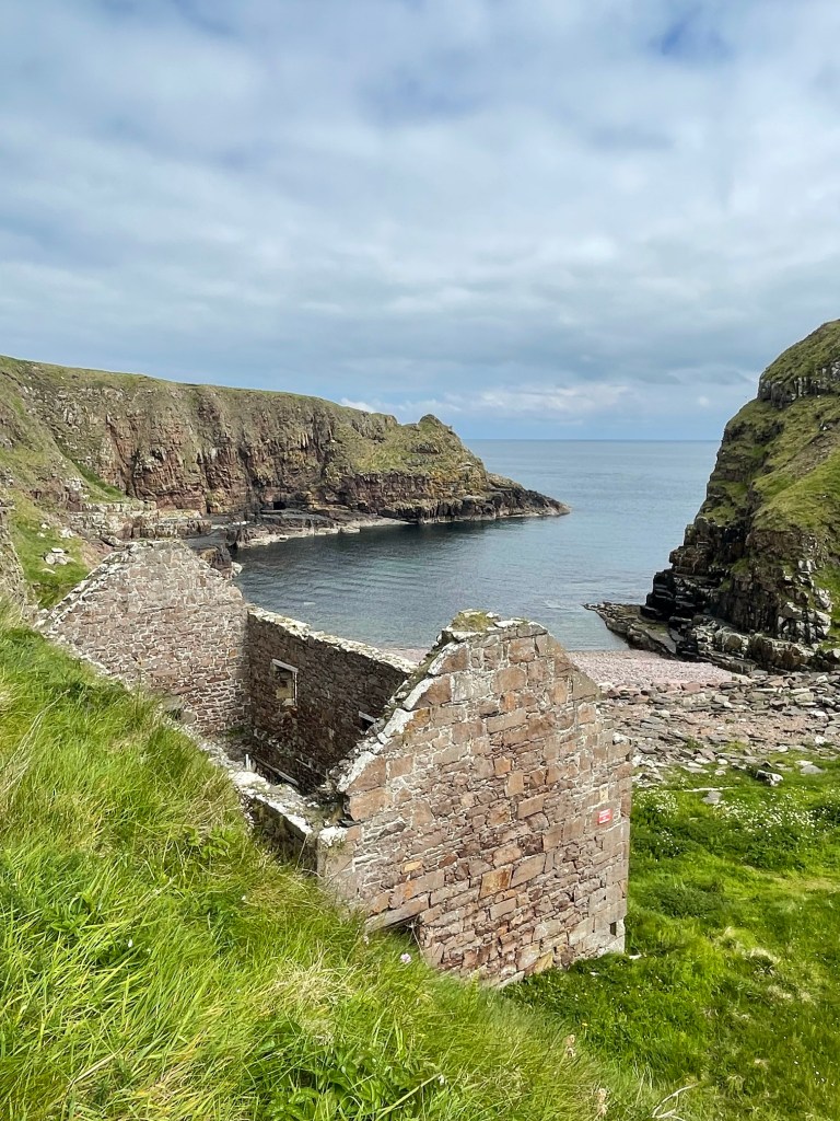
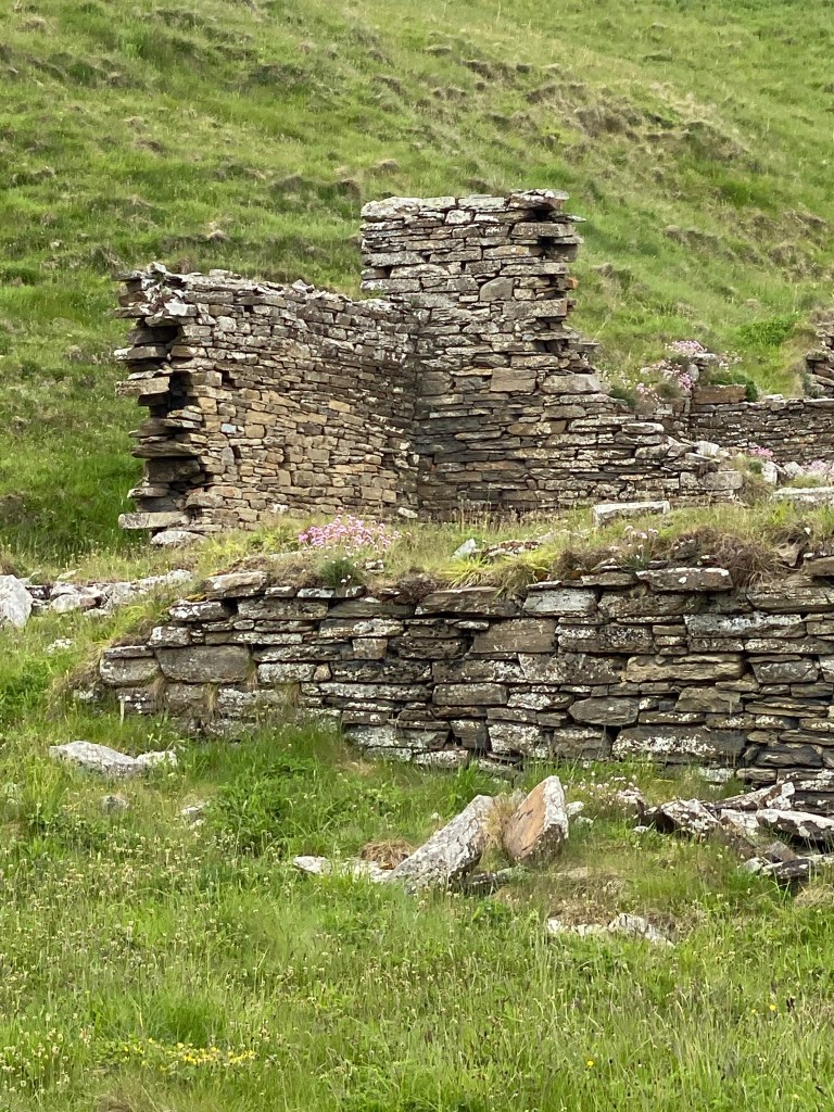
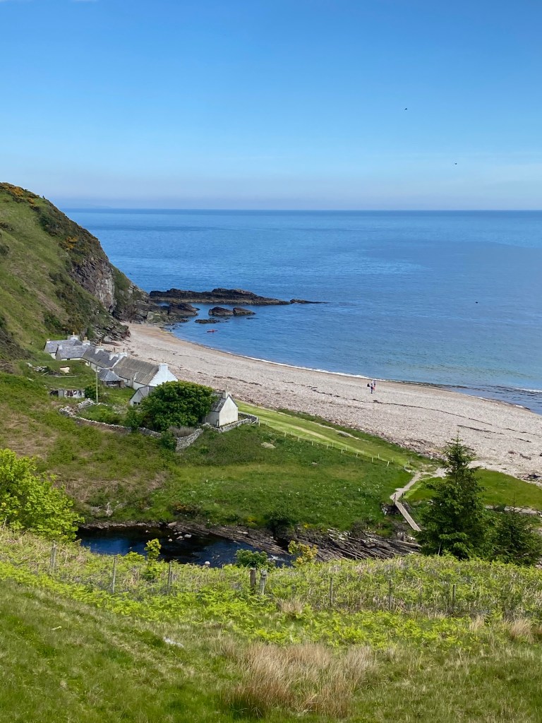
We passed the remains of Bucholly Castle perched precariously on a stack, before reaching Freswick Bay and its castle which is now a family home.
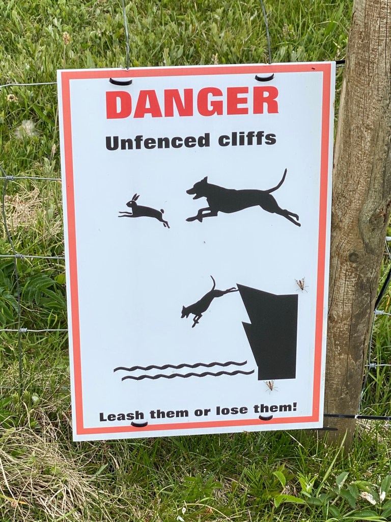
The path briefly departs from the coast after the bay, due to an unsafe cliff edge, leaving the beach we pass the remnants of some tank traps from World War II.
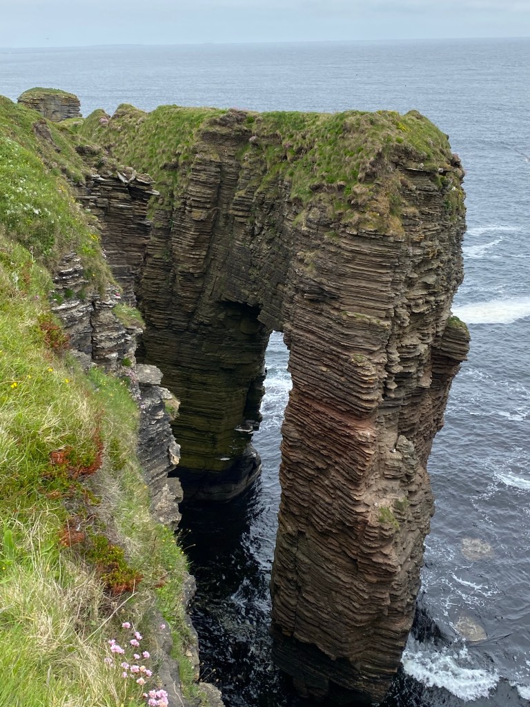
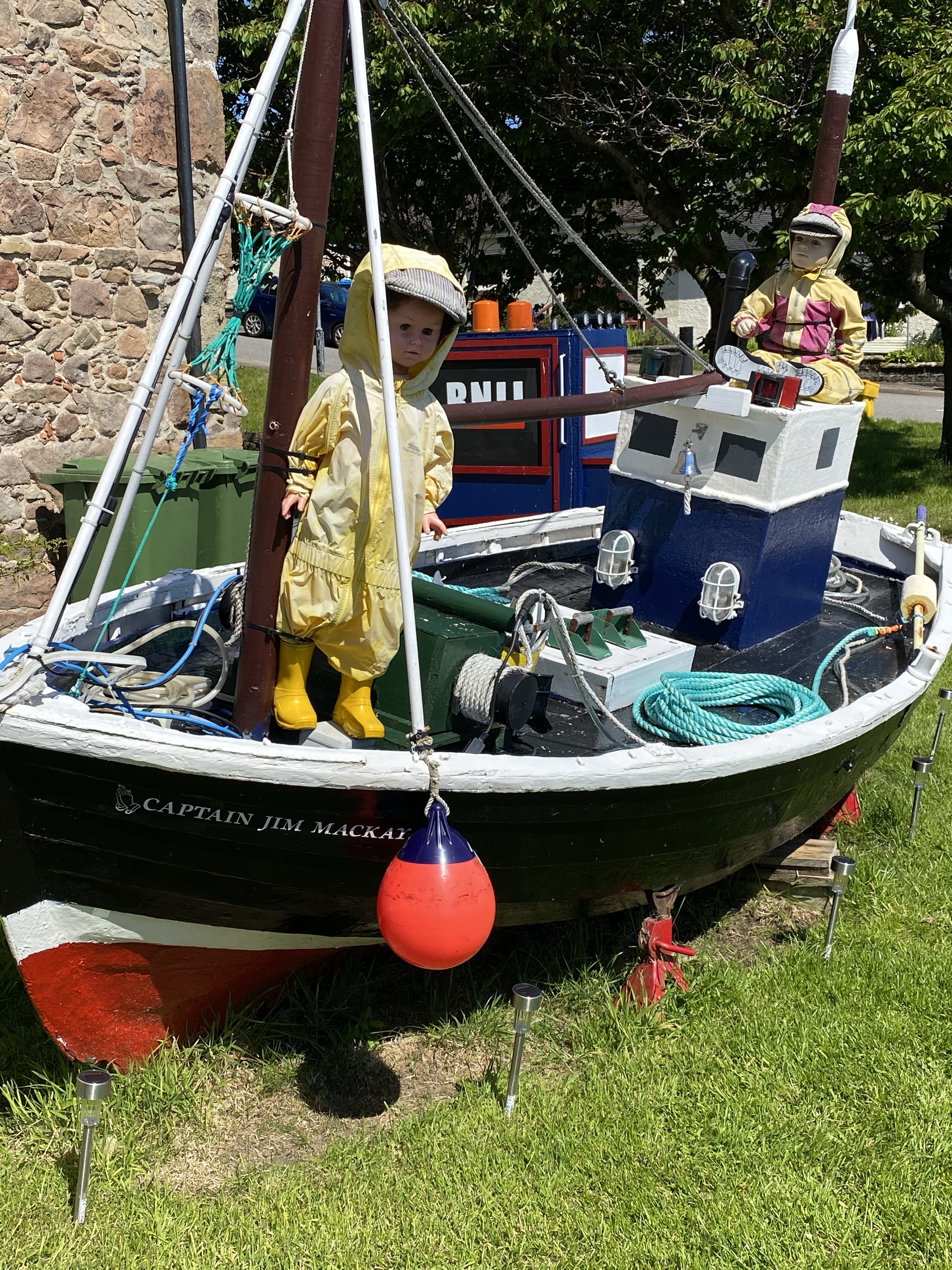
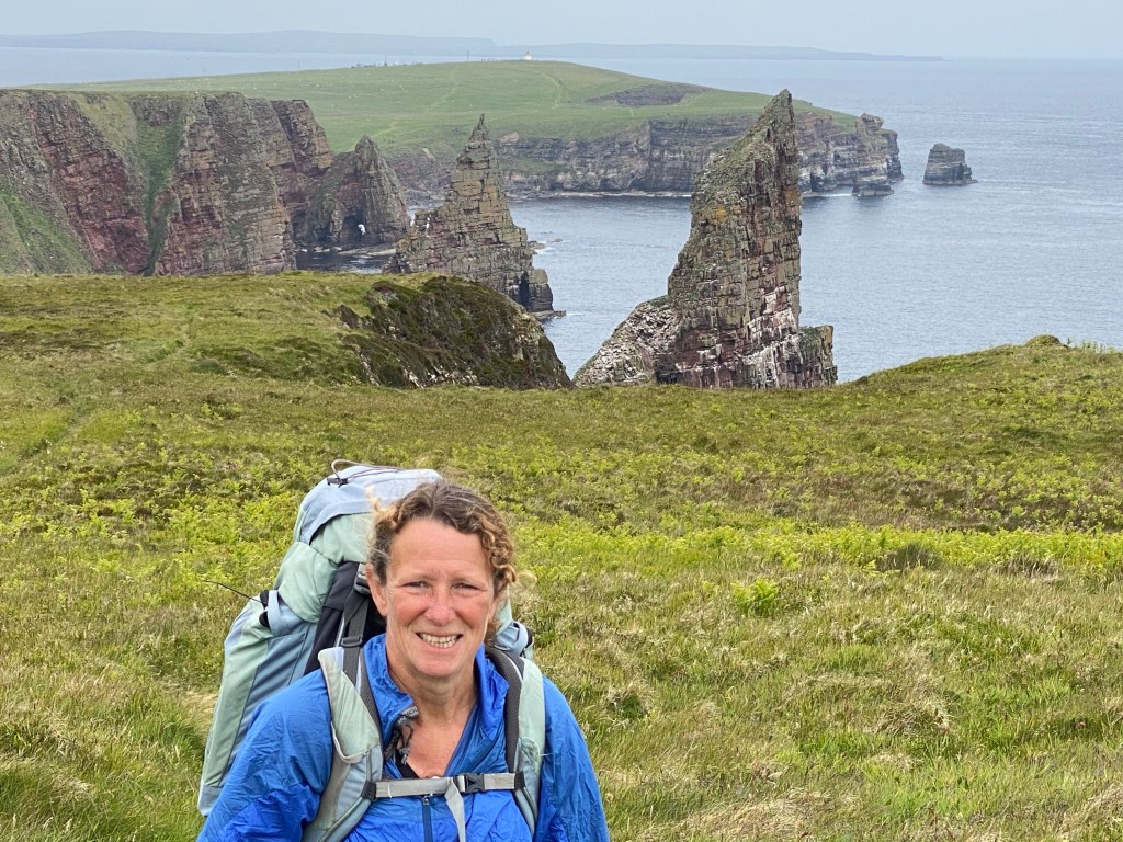
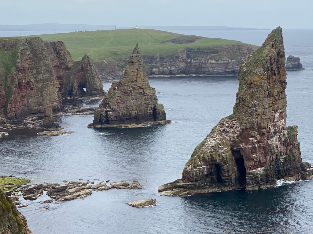
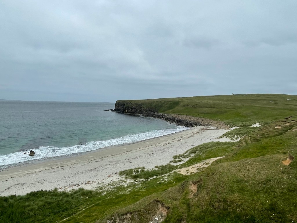
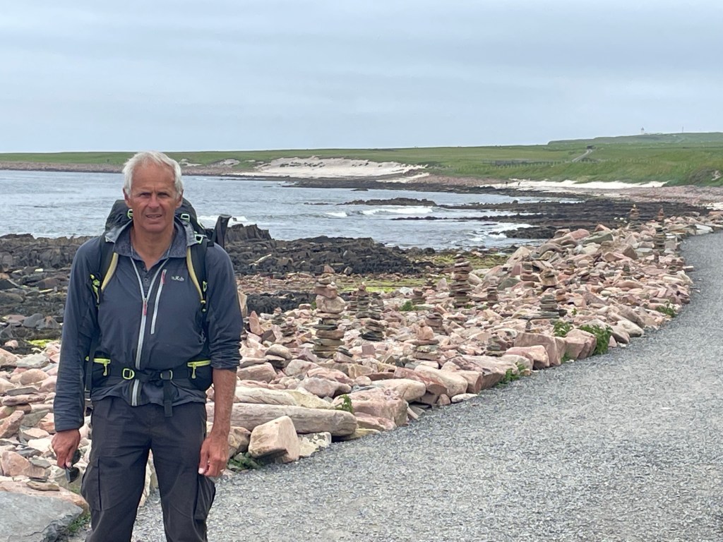
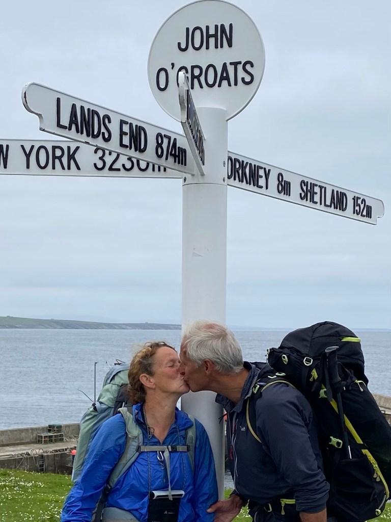
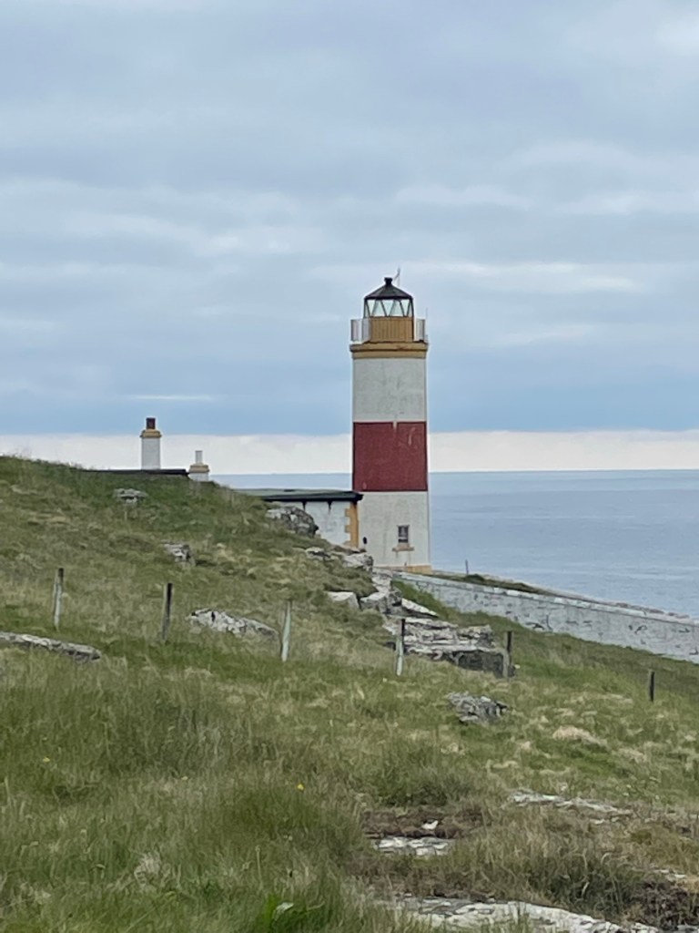
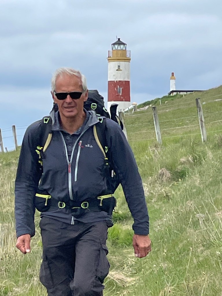
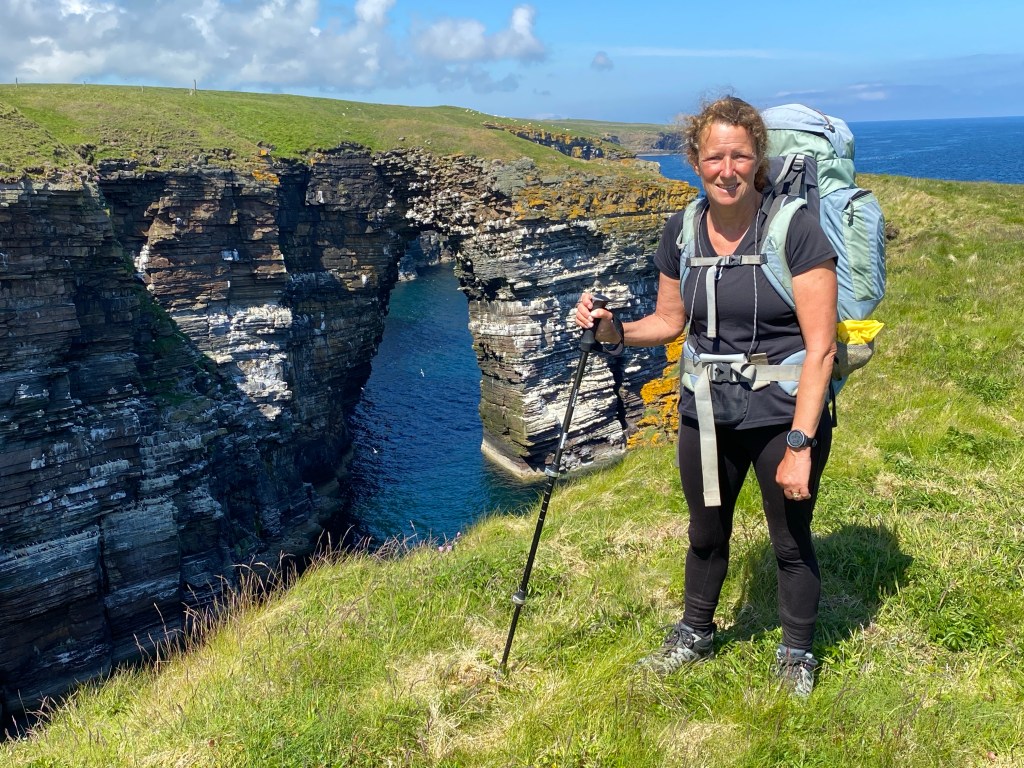
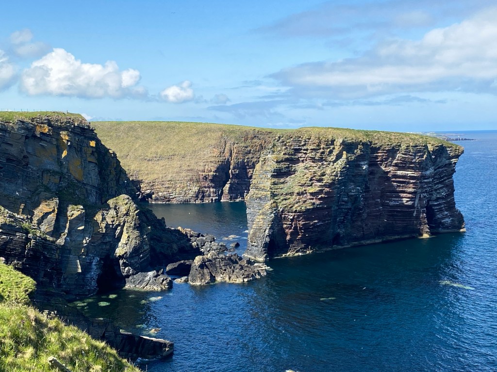
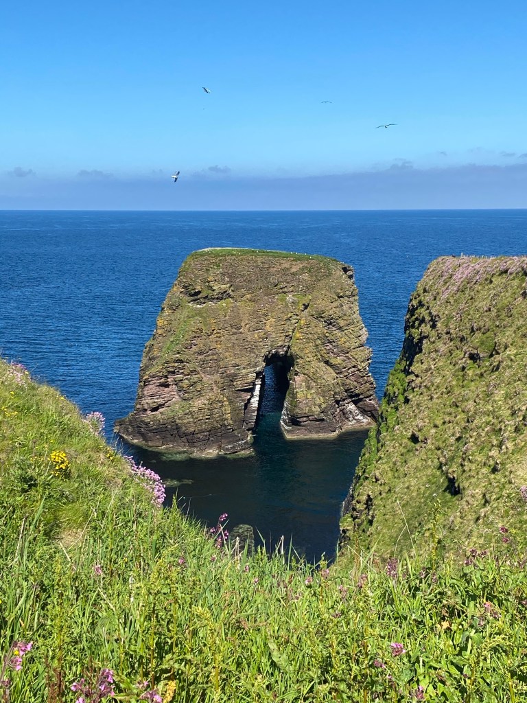
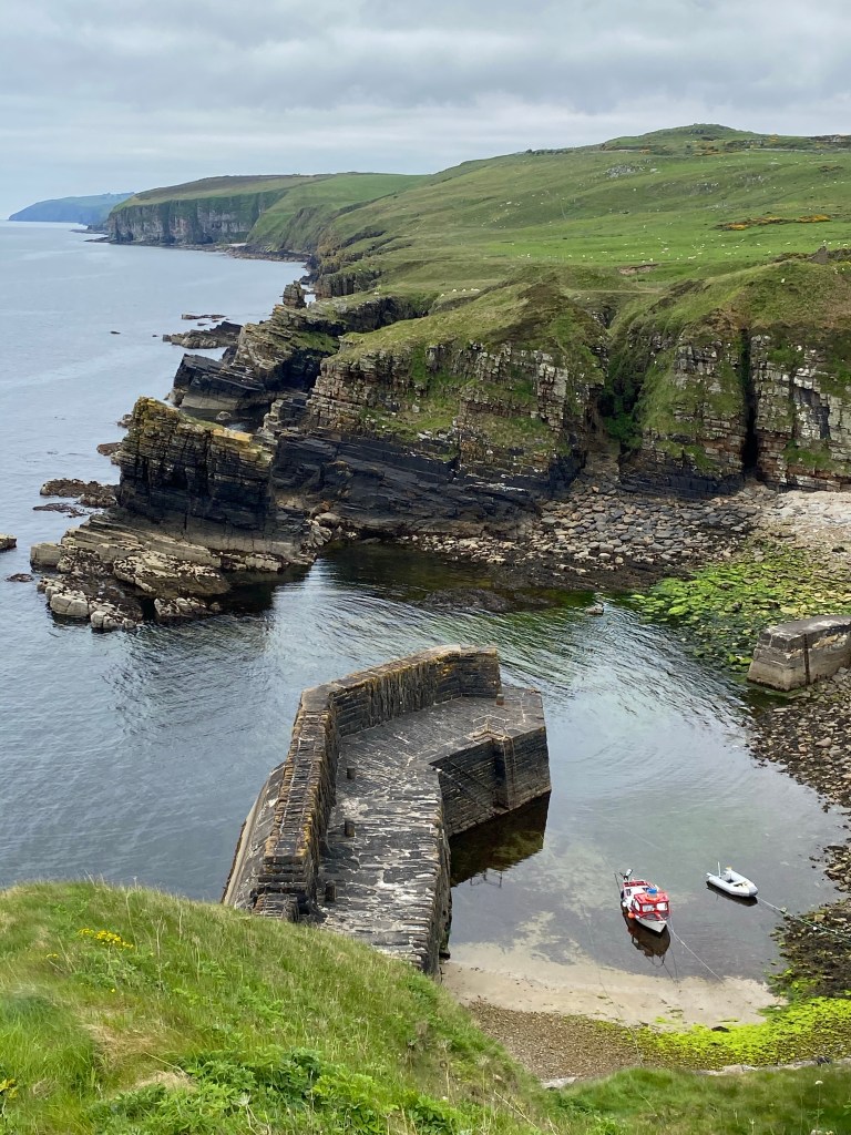
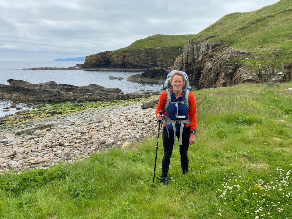
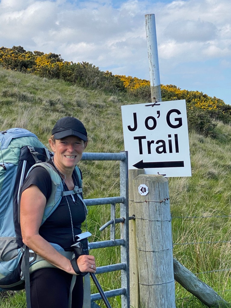
We rejoined the coast at Skirza Harbour and passed many more geos and stacks on the way to Duncansby Head and it’s lighthouse. By now we could see John O’ Groats in the distance.
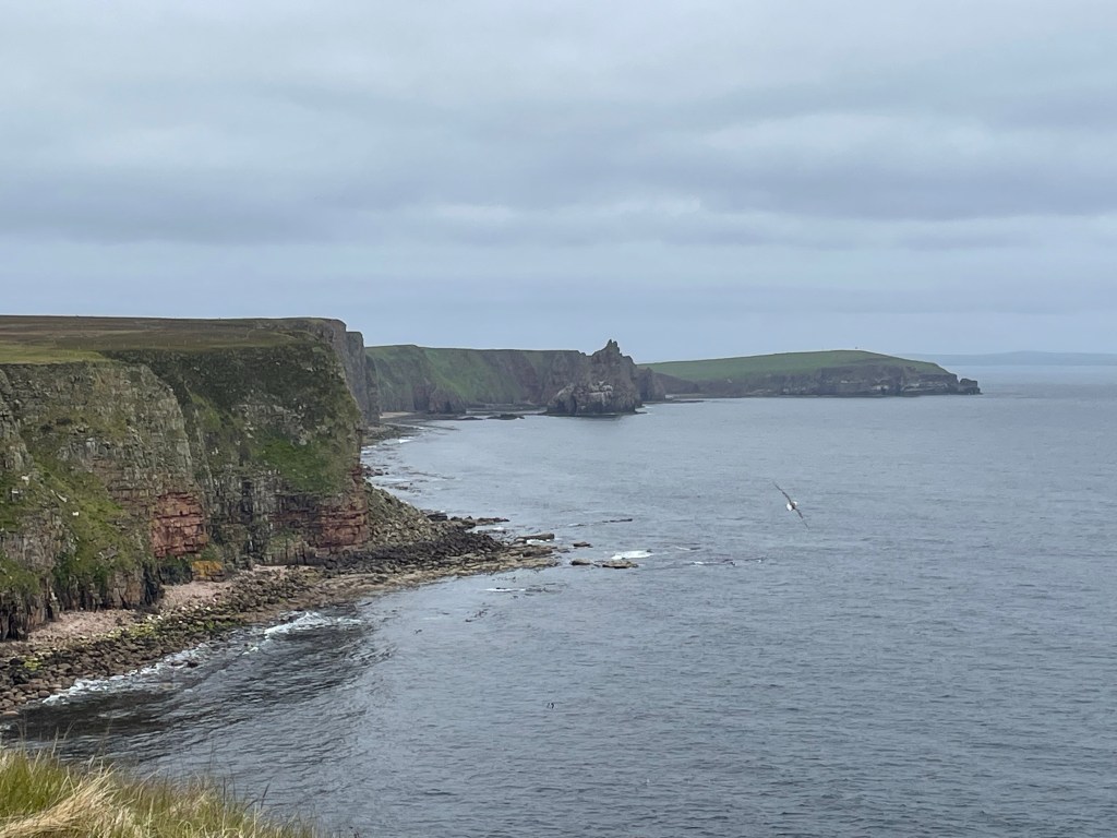
At Duncansby head the path becomes busy with day trippers, out for a stroll or bird watching.
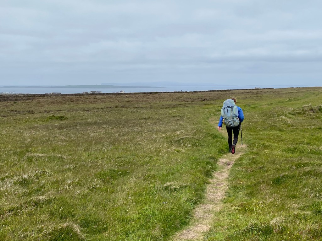
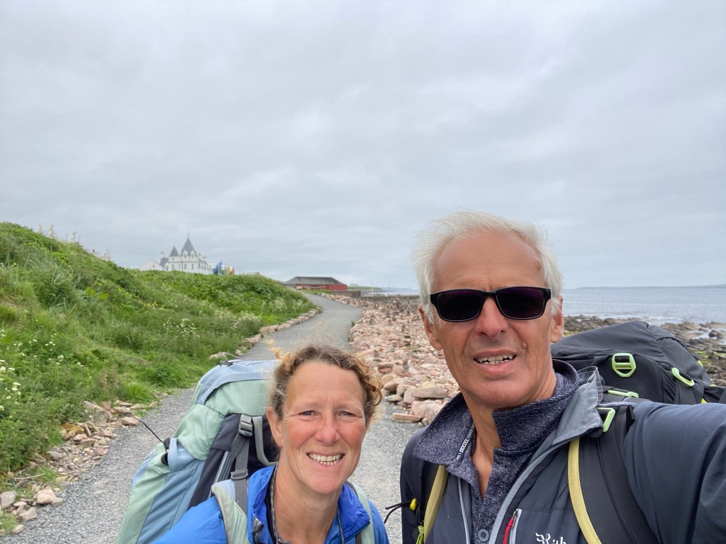
The path from here onwards levelled out and passed around a couple of sandy cove’s before reaching our final destination.
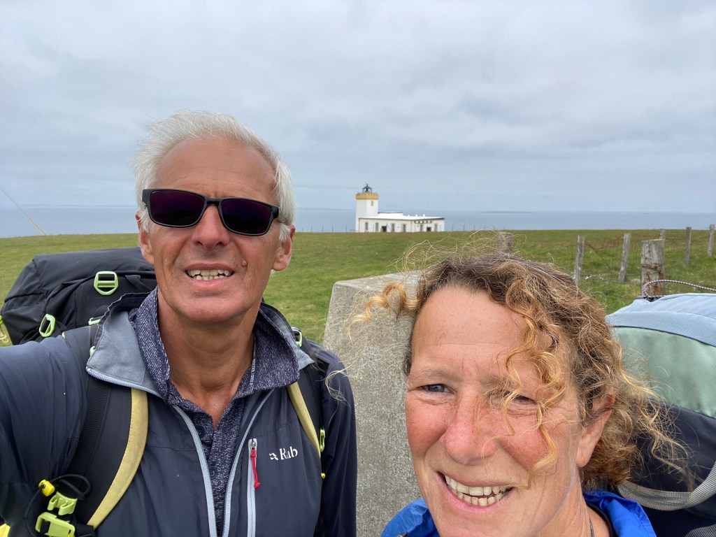
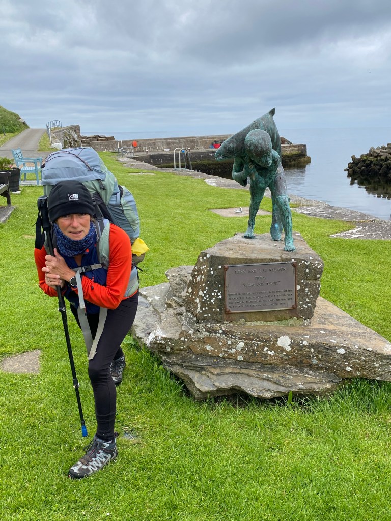
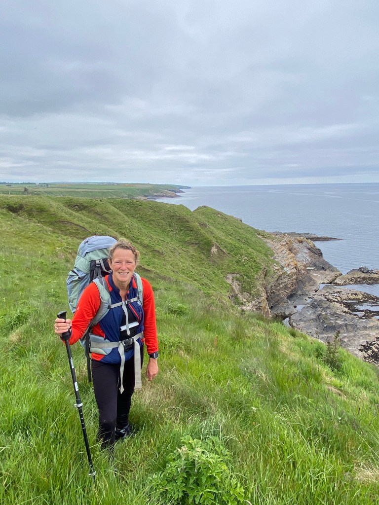
After the obligatory photo stop, we lunched at The Northern Point, while waiting for our bus to Thurso and the Premier Inn.
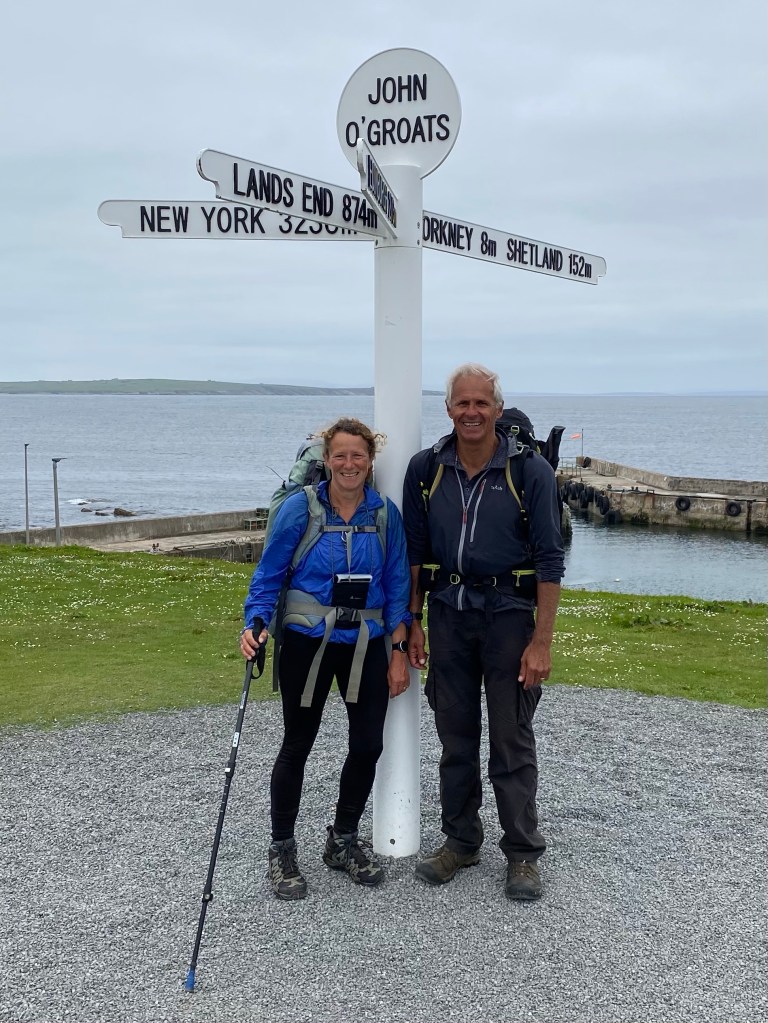
We always have mixed feelings at the end of a long walk. A sense of achievement at completing the challenge and sadness that the adventure is over….for now.
We hope you have enjoyed reading our blog and looking at the photos. Thank you for your comments, they really do help to keep us motivated. Hopefully it may have inspired others to try something similar.
Until next time.
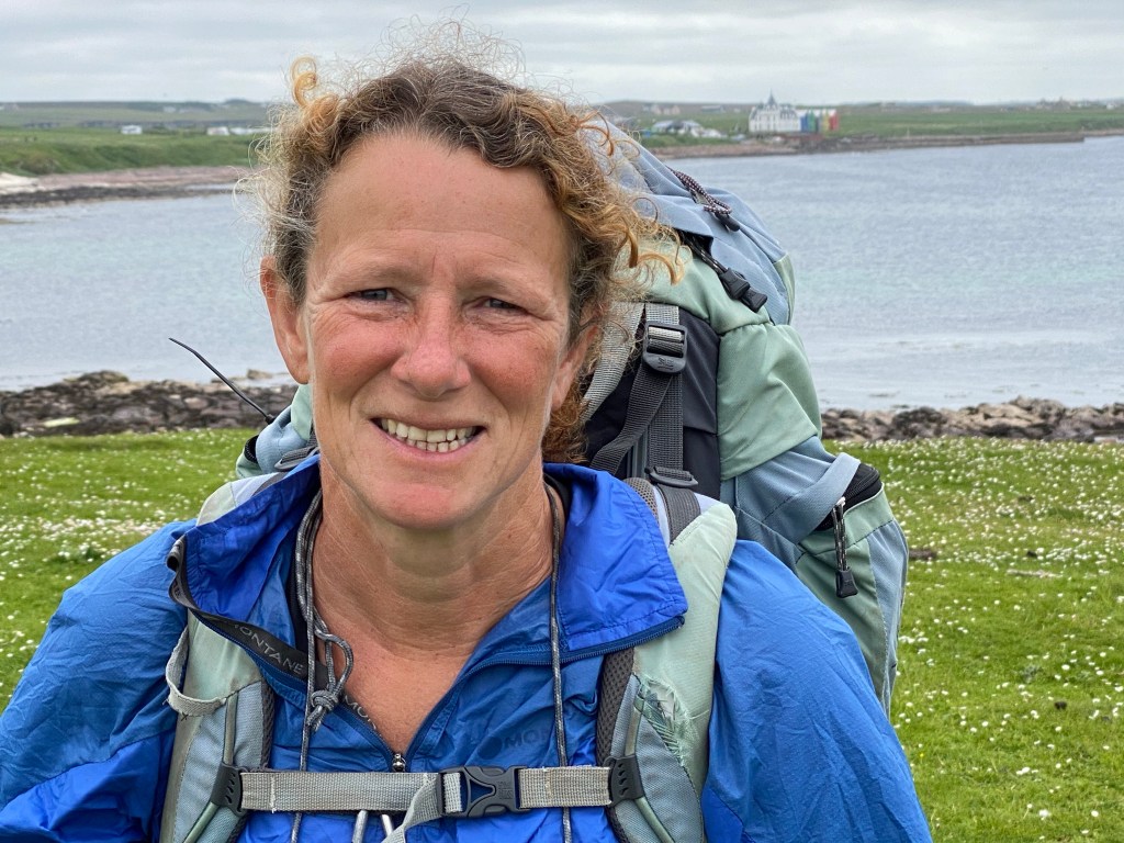
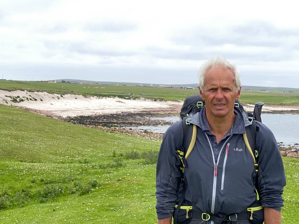
Steve and Lynn
8 June 2022

A good guesthouse breakfast was shared with a fellow JOGLER. It was his final day he had walked to Keiss yesterday and was catching the bus to restart there. Unlike us keenies, it sounded like he’d had enough and would be glad to get his last day over and done with.
Another nice sunny day, with a few scattered clouds.
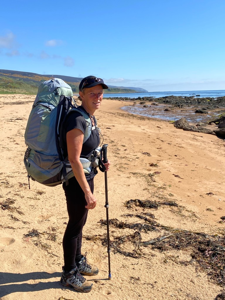
A much easier walk in terms of terrain and distance. Walking LEJOG we had done JOG to Wick in one long day. We decided several weeks ago we would like to savour the last couple of days and added an extra day to our schedule and split the walk at Keiss.
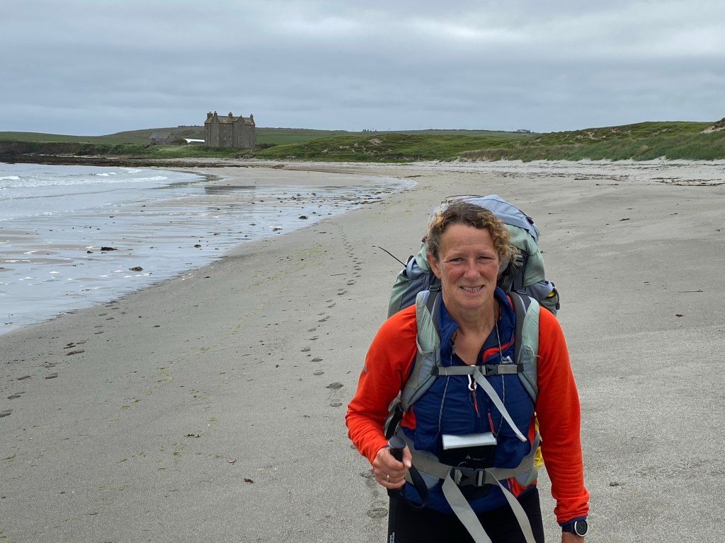
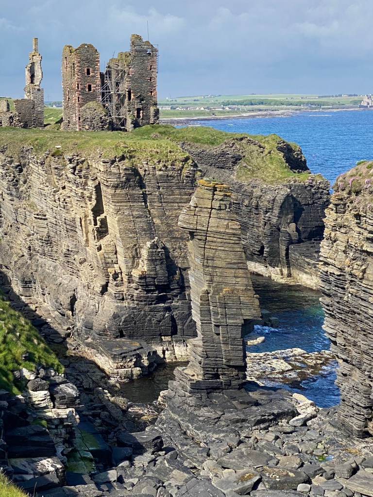
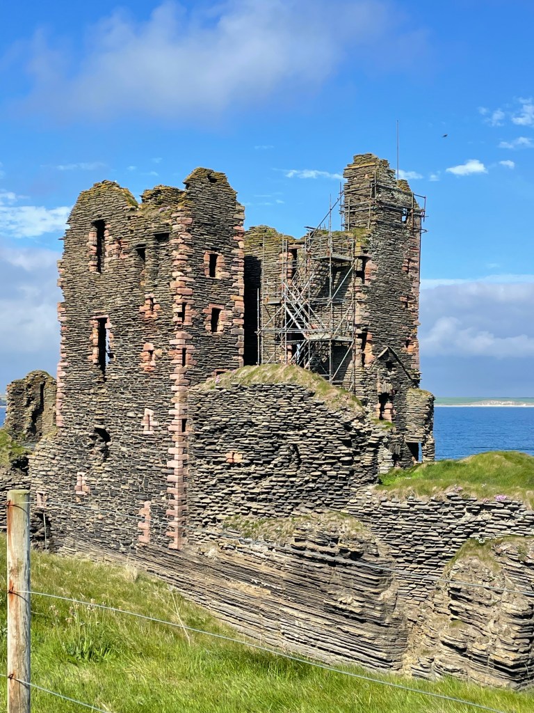
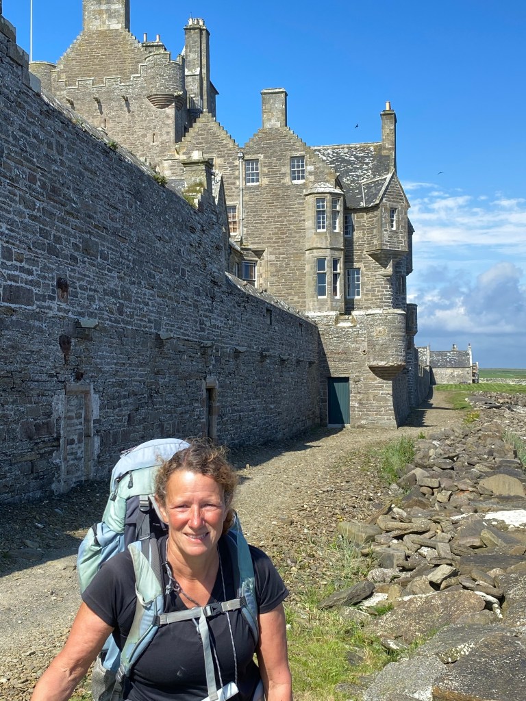
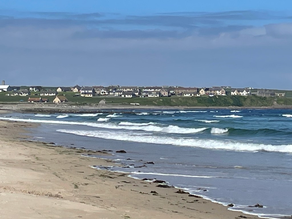
An easy walk along the cliff top took us to Noss Head Lighthouse and then on to the ruins of Sinclair Castle complete with a draw bridge. Fantastic views of Sinclair Bay and it’s six kilometre beach came into view.


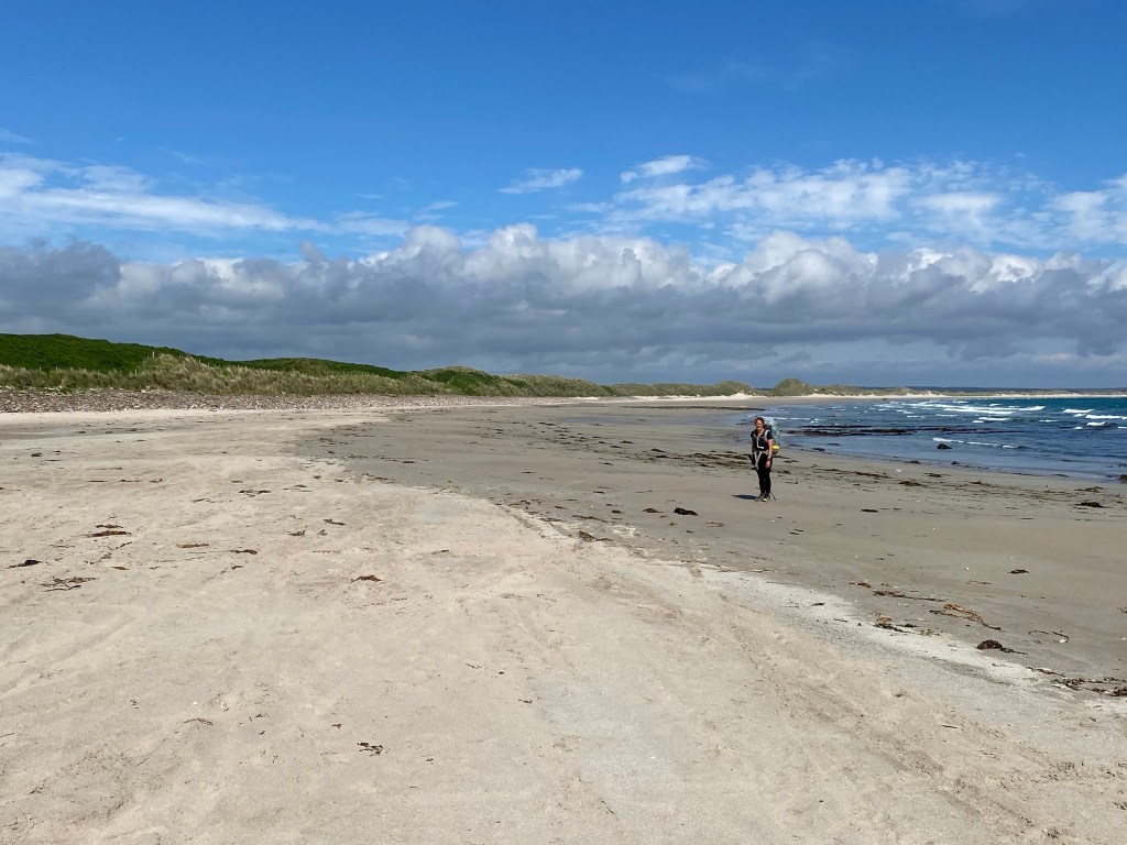
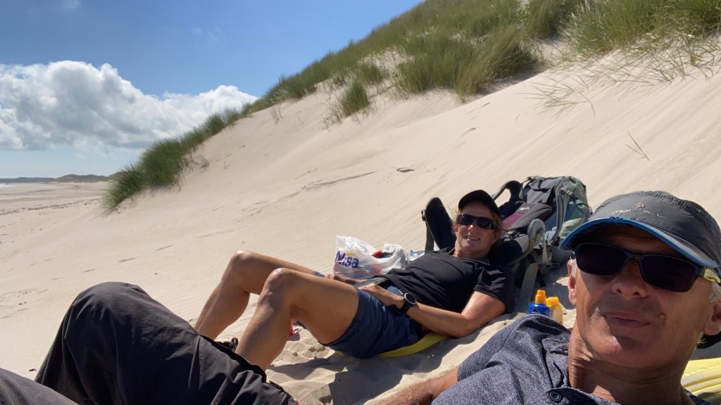
After the village of Ackergillshore, we joined the beach. We had timed the walk perfectly to coincide with low tide to avoid walking the path through the massive sand dunes that back the beach and also to ford a river half way along which can be waist deep when the river is in spate and the tide is high. We arrived at the river spot on low tide and managed to cross it without even removing our boots.
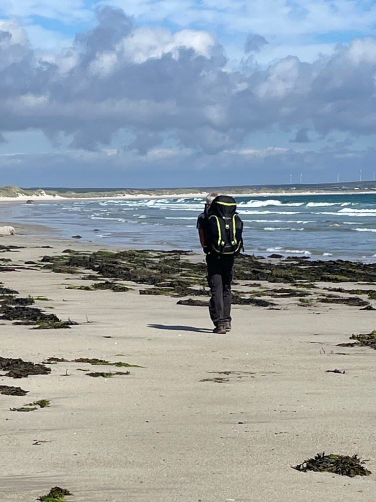

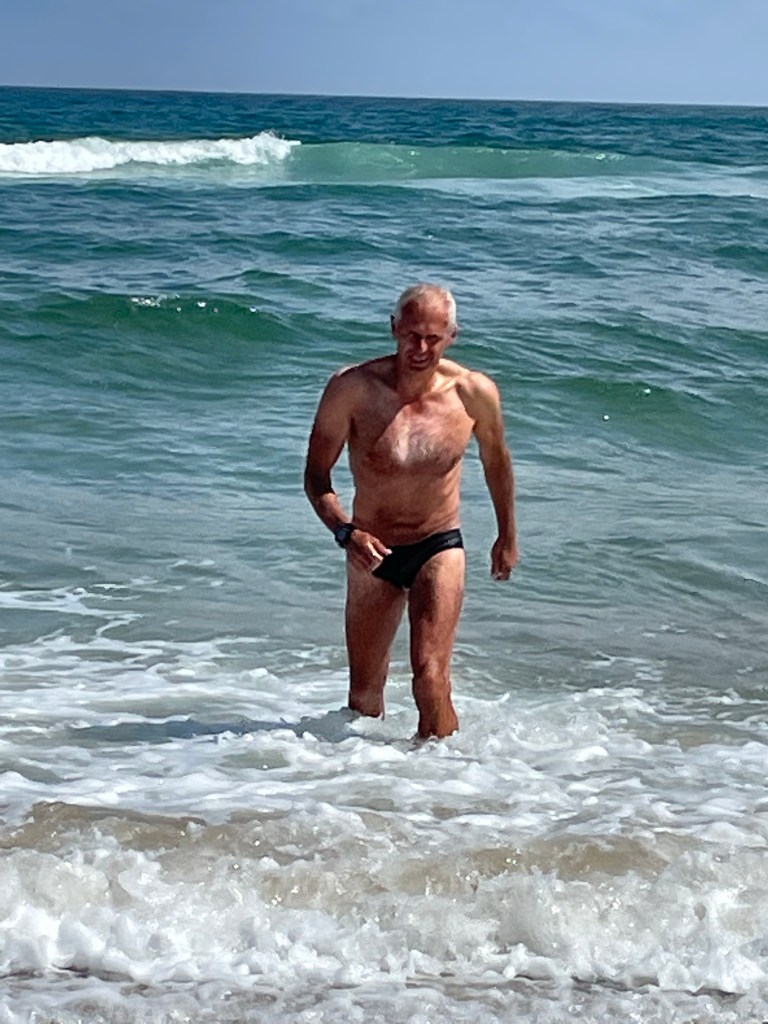
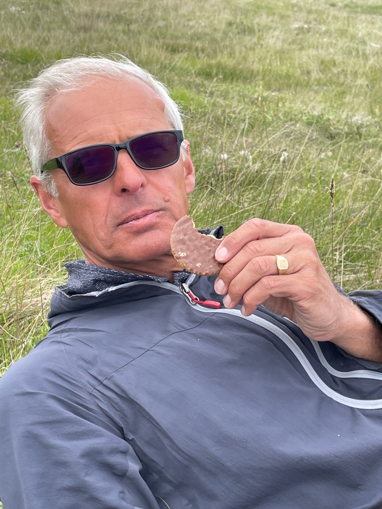
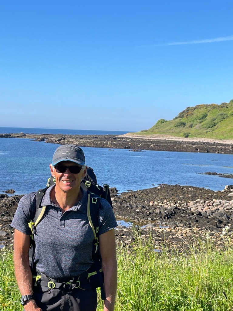
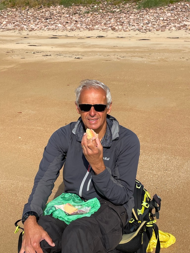
After the river crossing we had plenty of time to spare, so we spent a couple of hours on the beach. We brewed up a couple of hot drinks. Steve went for a swim in the sea. Steve’s idea of a swim looked more like a flash dunk to Lynn.
A short walk after our break took us to Keiss and on to the Castle View B&B on the outskirts of the village.

We had a delicious dinner and breakfast cooked by our host Sandra at the Antlers B&B. As is often the case our fellow residents, a couple from Deeside made for good company and conversation.
A day of two halves weather wise, a cloudy start followed by a glorious afternoon.
It was also a walk of two halves!
The B & B is only minutes from the JOG trail and Sandra pointed out a short cut across their land to get us started. Lynn nearly fell over in the muddy field churned up by cows in the first few minutes but saved herself at the last moment.
The first few kilometres were relatively well marked and not to difficult underfoot, we passed Clyth Harbour and the remains of another fishing station, before reaching Clyth Lighthouse.
Things went downhill from here, the path squeezed between a fence and the cliff edge was extremely narrow and dangerous in places, the guide suggested walking inside the fence, which we did. Unfortunately, this meant crossing numerous barbed wire fences with no stiles, sometimes over, sometimes under the fence, impossible with backpacks, so these had to be taken off and passed over the fence or even thrown over.
We were then nearing Whaligoe Steps, apparently an amazing feat of engineering, 330 steps cut into stone to reach a once thriving fishing port. We never found the steps and we also lost the path, at this point we threw in the towel and made our way out to the A9 and walked along the grass verge for a short stretch until we reached the parking area for the steps.
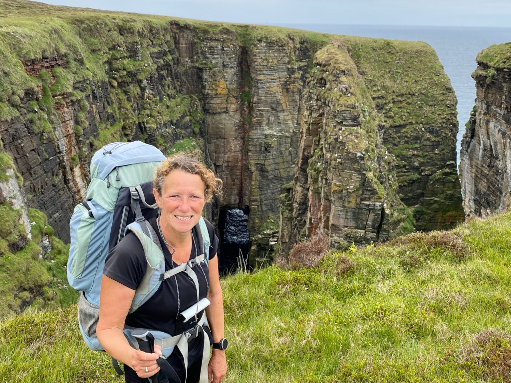
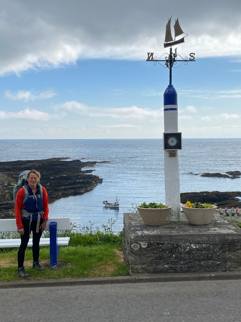
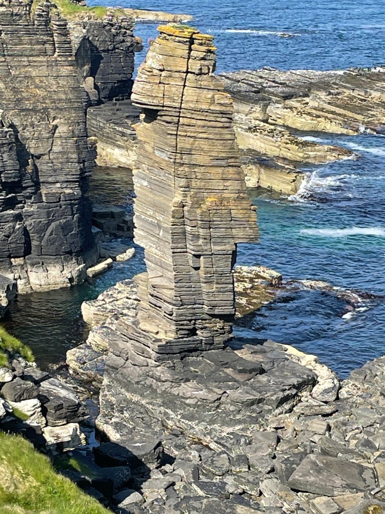
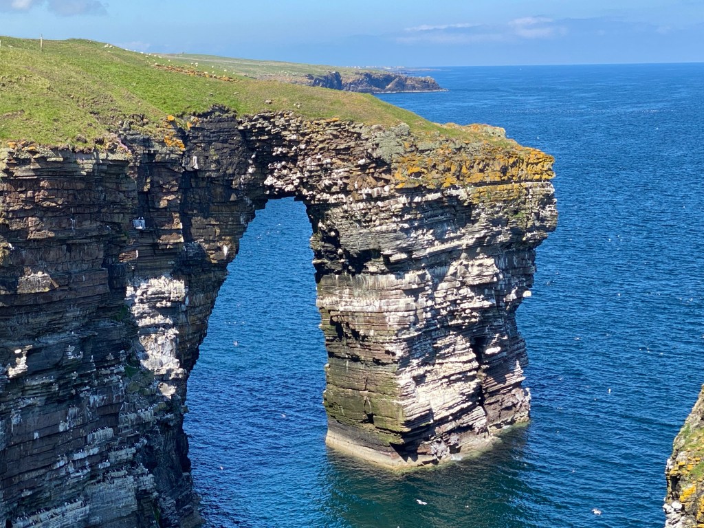
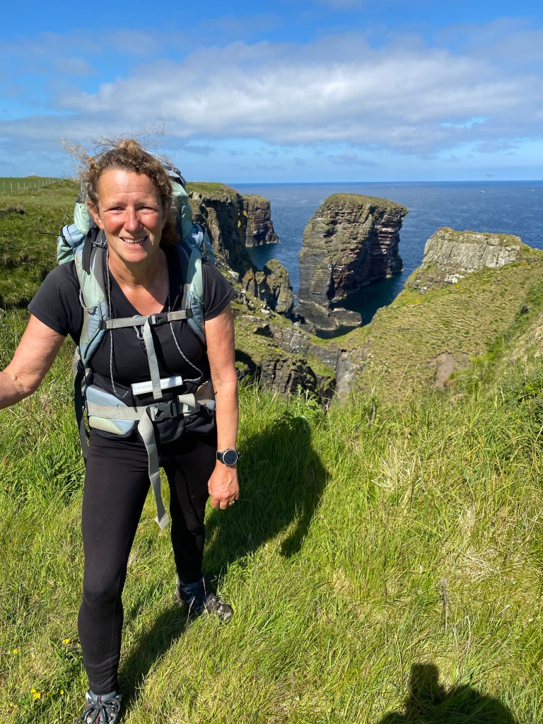
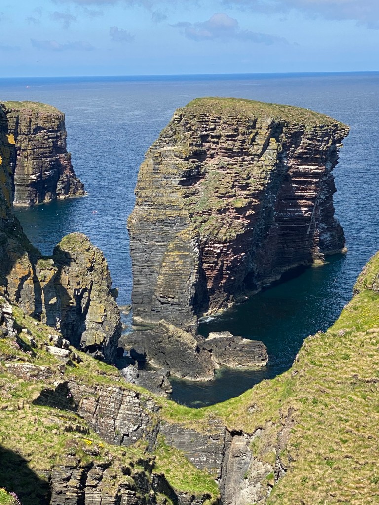
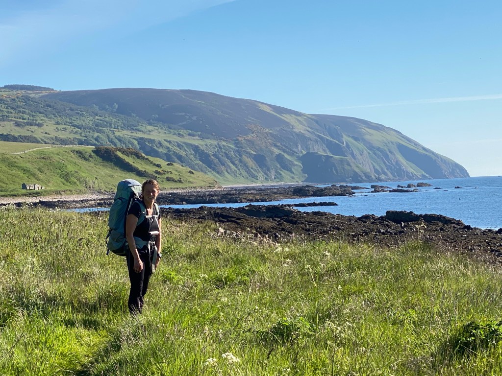
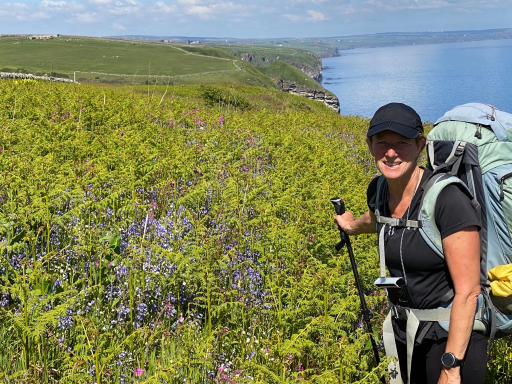
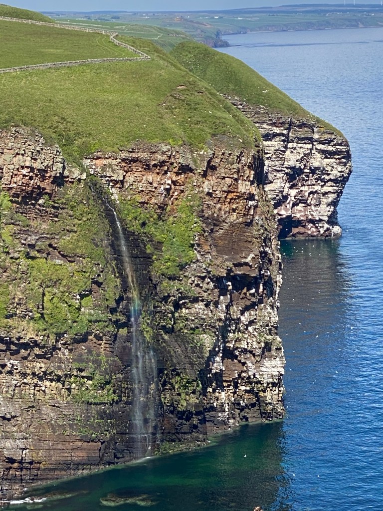
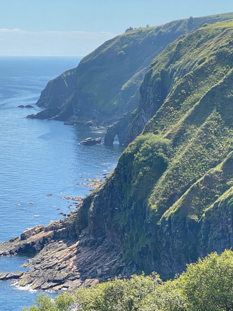
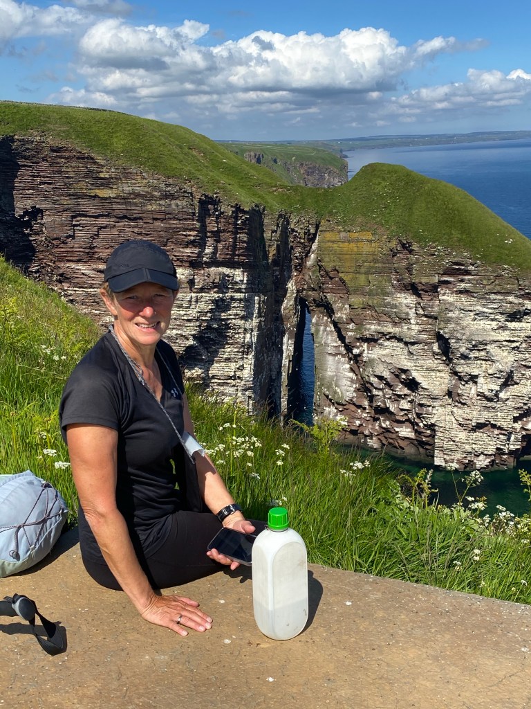
Thereafter things improved, the path was typical coastal path walking, passing numerous geos (inlets with steep rocky sides) and stacks (isolated pinnacles of rock surrounded by the sea). The scenery was absolutely stunning.

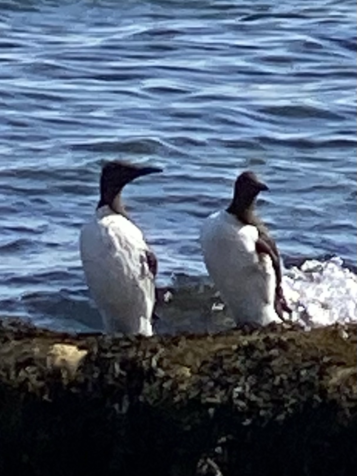
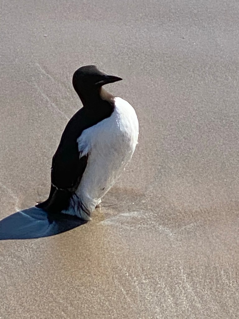
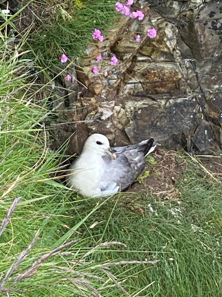
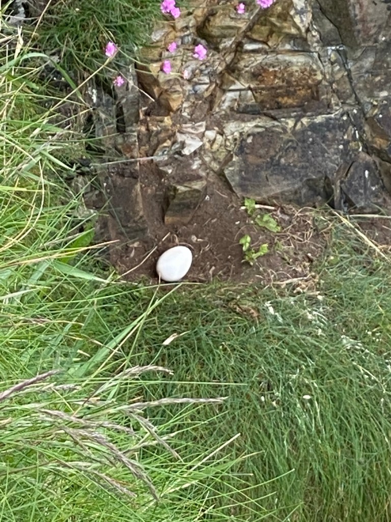
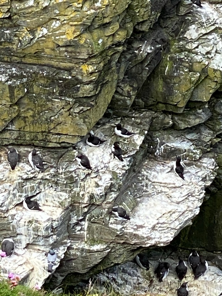
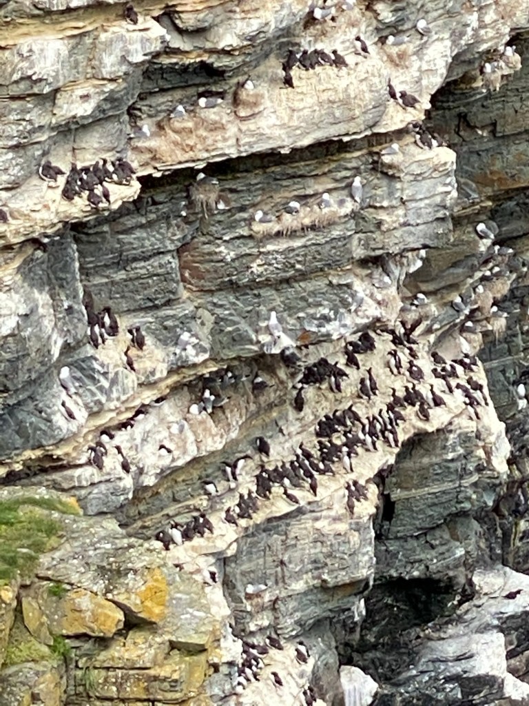
Our senses were constantly assaulted by the sight, sound and smell of large gull and guillemot colonies nesting on the ‘geo’ cliffs inlets.

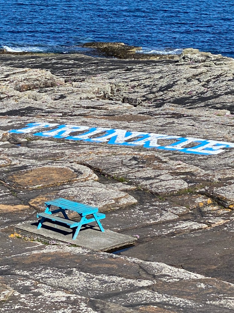
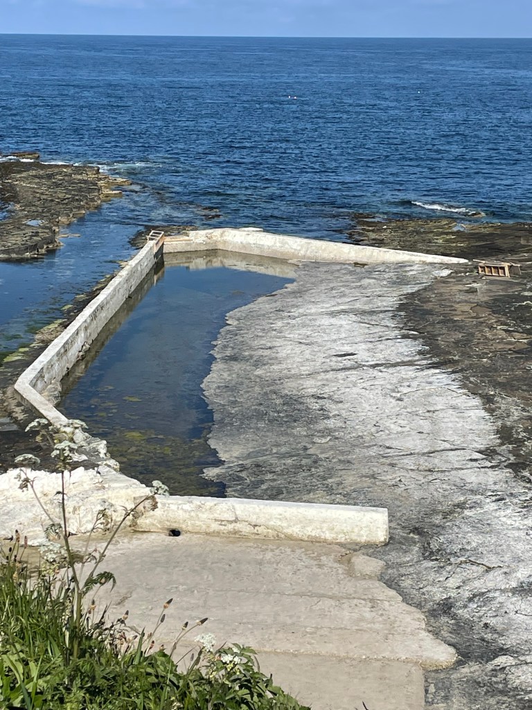
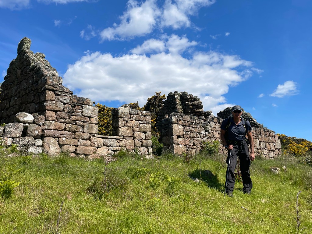
Approaching Wick we passed the remains of the Castle of Old Wick, which formerly had four towers but is looking a bit sad now, as is the old tidal sea water swimming pool, ‘Trinkie Pool’ and Steve was so looking forward to a swim.

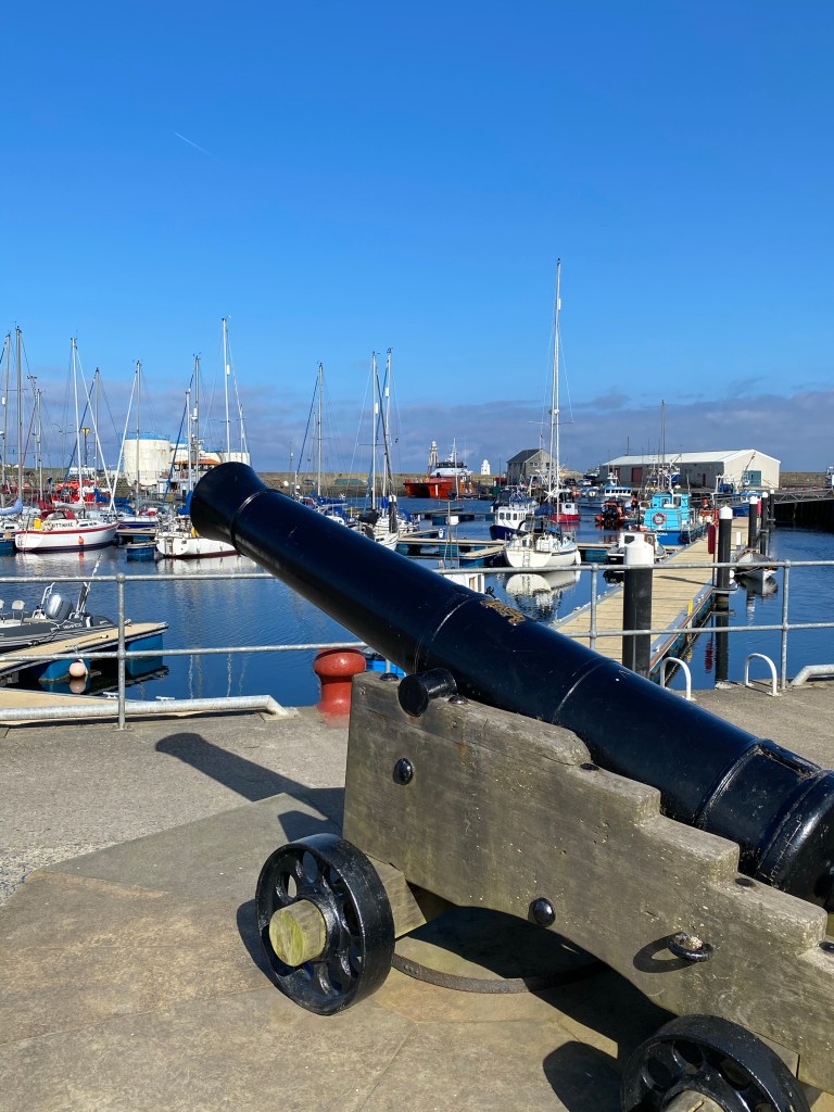
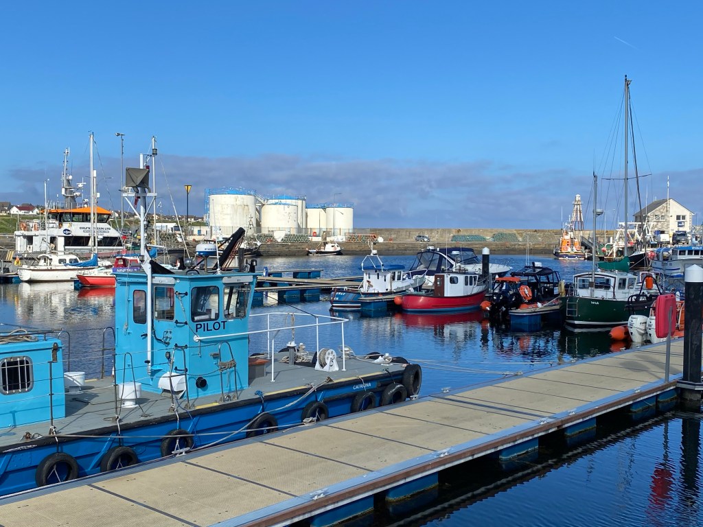
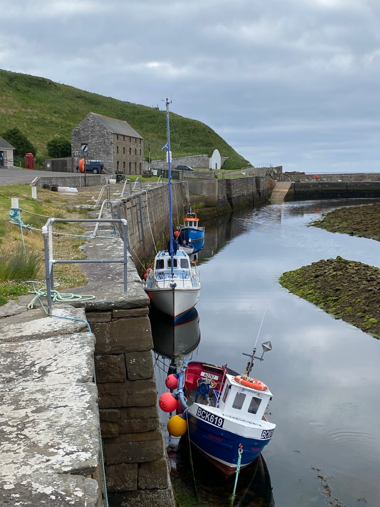
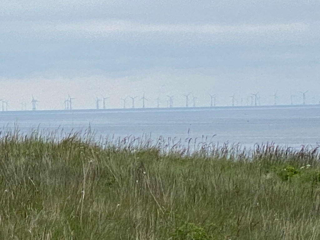
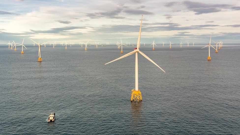
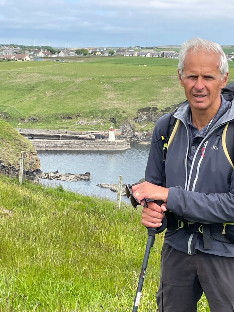
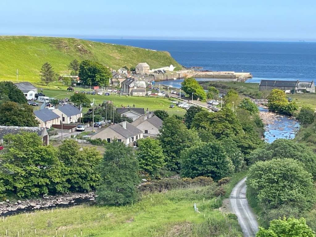
The harbour of Wick is thriving, still a working fishing port but also servicing the offshore wind farms.
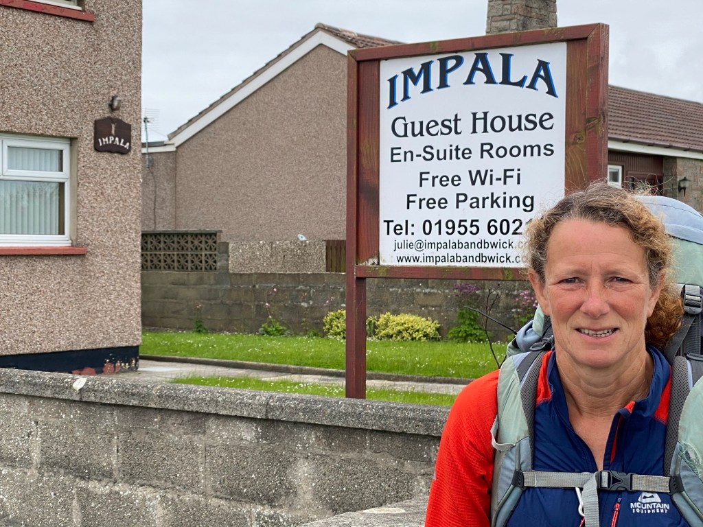
After checking into our accommodation at Impala guest house we felt obliged to pay a visit to the most northerly Wetherspoons.

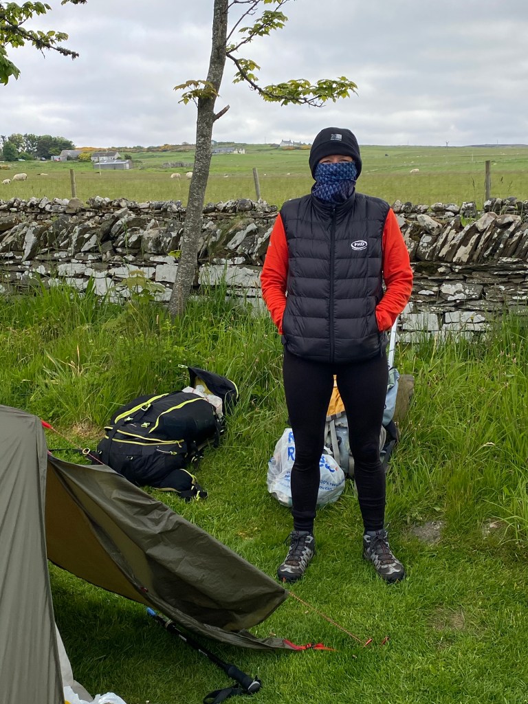
Our last night of camping done, but in order not to disappoint us the Scottish Airforce put in their first appearance.
The midges were out in force.
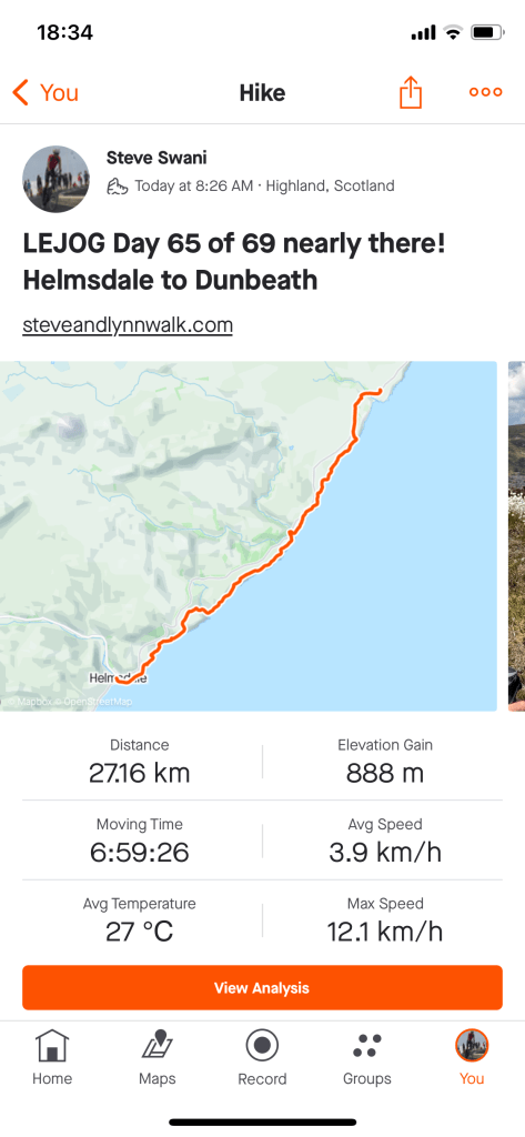
A cloudy day, with the sun poking through later and a light wind. The sea was dead flat.
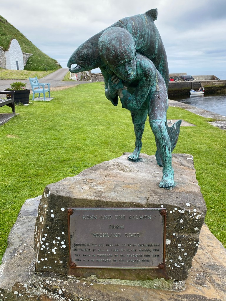
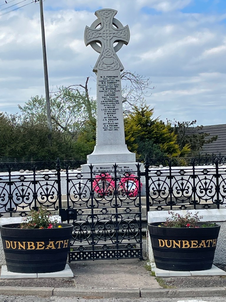
We started out southbound back to Dunbeath harbour and the start of the coast path. In the harbour is Neil Gunn’s statue of Kenn, a nine year old boy and central character in his book ‘Highland River’, who caught a salmon with his bare hands.
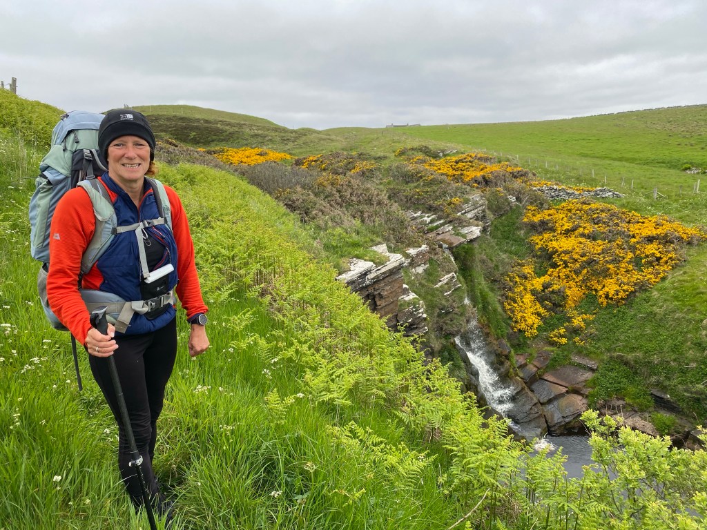
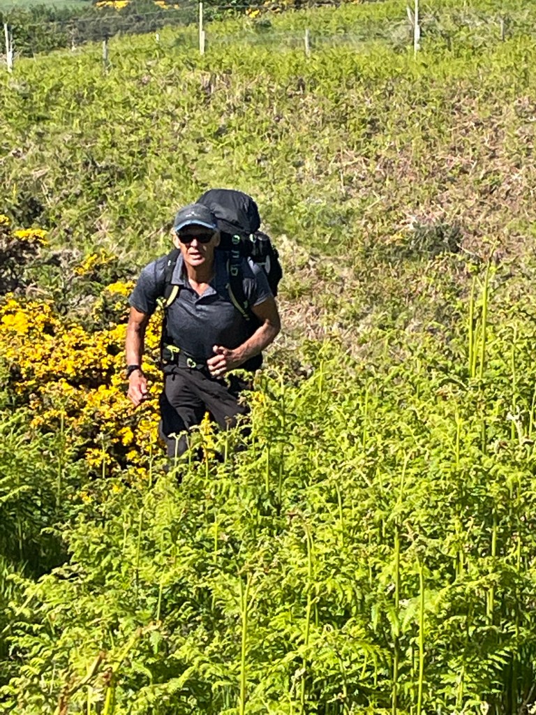
A challenging walk today, taking 5 hours to walk just 16 kilometres to Lybster. The path was rough underfoot, along with sections of undergrowth to tromp through and a few steep sided valleys to cross.
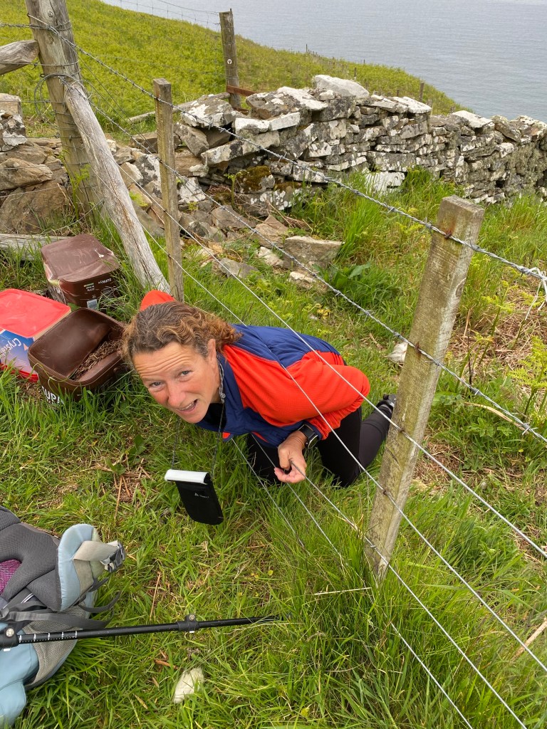
There was one particular section that wasn’t waymarked and the trail guide advised careful navigation, unfortunately this was also a section where the guide had provided poor instructions to follow. At one point we ended up on the wrong side of a high barbed wire topped fence, we either had to retrace our steps or cross the fence, we chose the later and managed to squeeze between the lower wires of the fence. There was also one narrow ledge, outside a fence on a cliff top which had to be negotiated, where the cliff was falling into the sea.

Throughout the walk we had views of a massive wind farm out to sea and a couple of oil rigs.
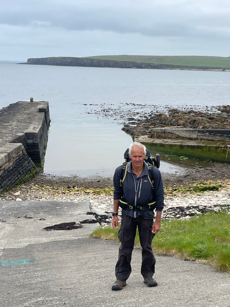
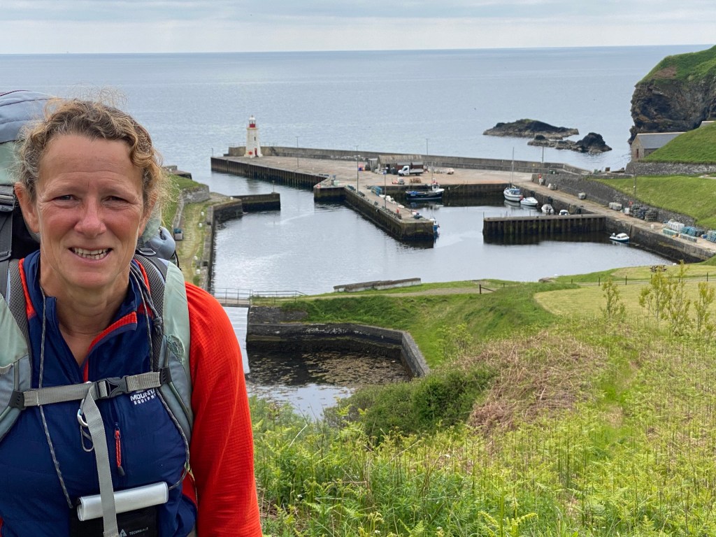
The first port of call was Latheronwheel harbour, where we passed over an old stone bridge, but there was no cafe.

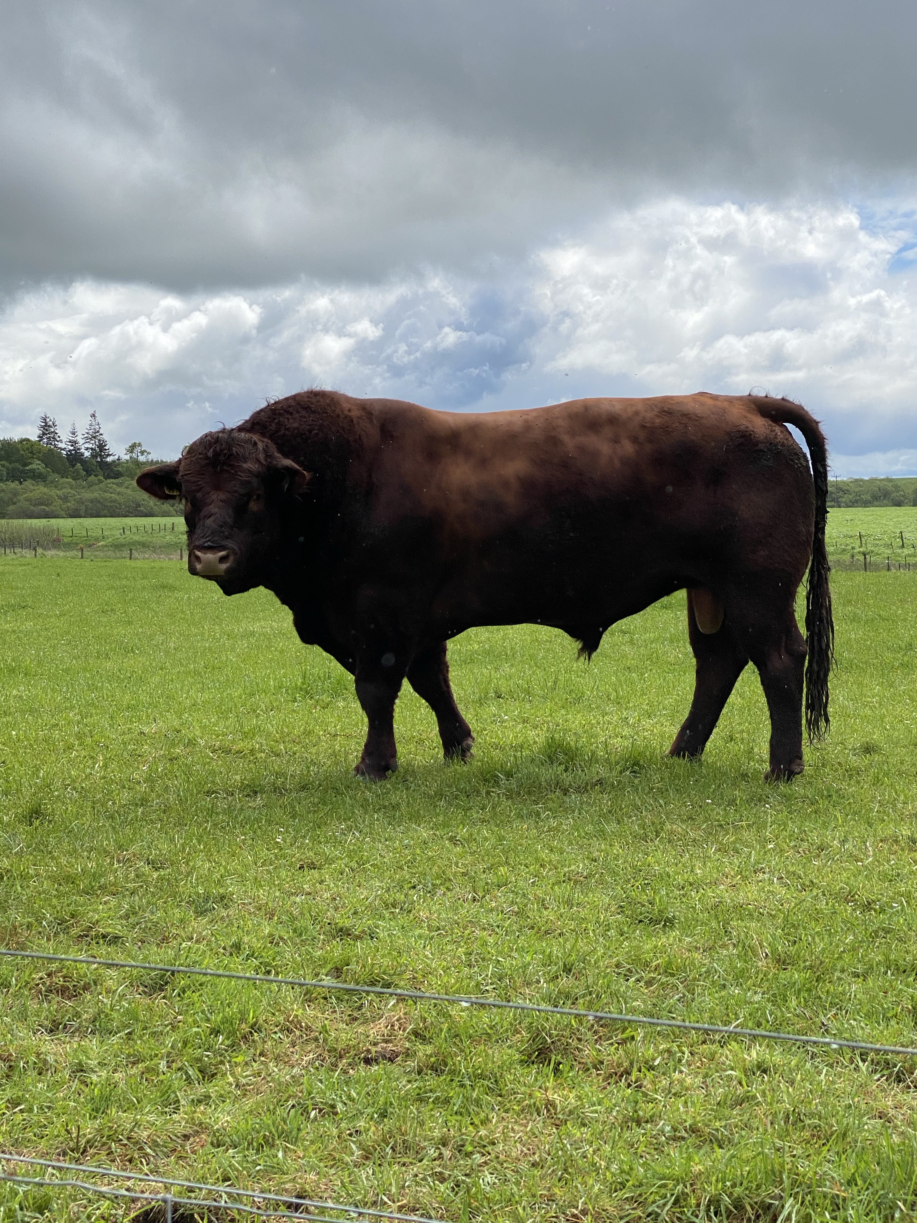
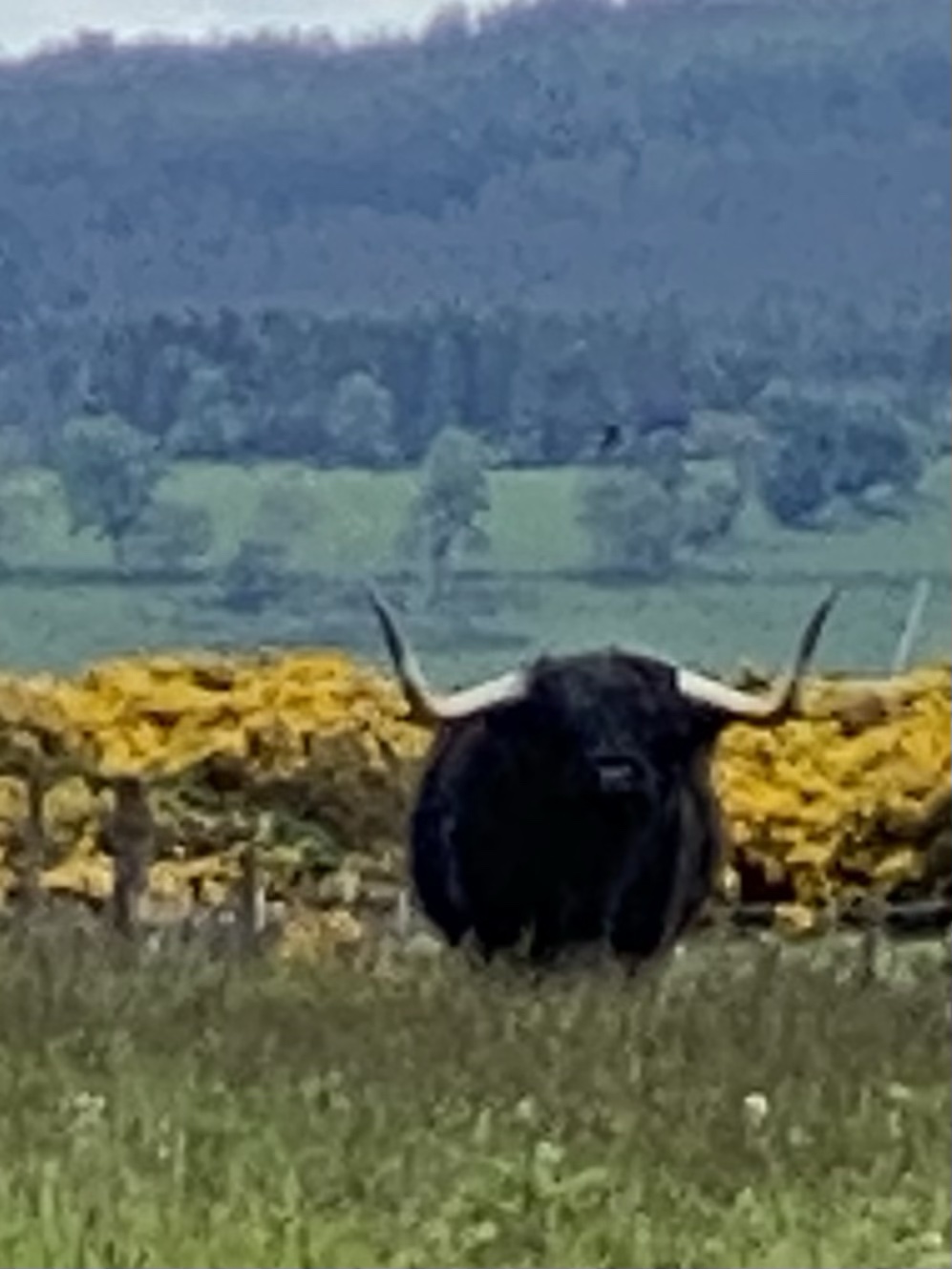
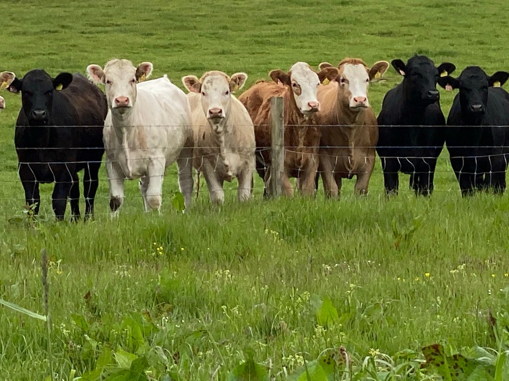
Just after the harbour there were some curious cows behind a fence in a nearby field, it appeared they all wanted to line up and be in a photo.
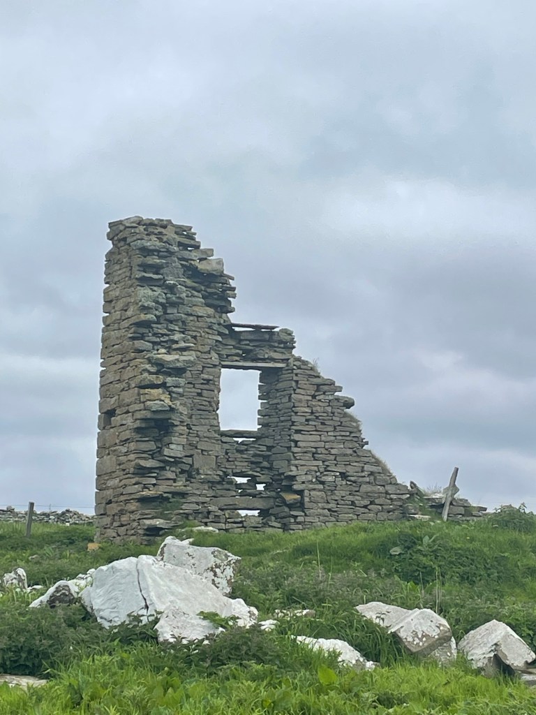
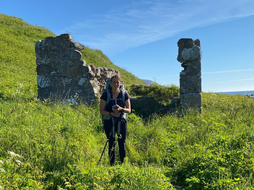
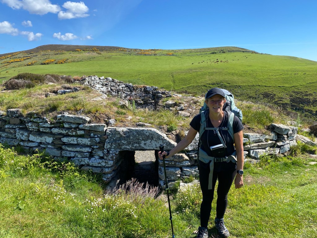
Later we passed the ruins of Forse Castle, dating back to 1200, it was inhabited until 1600 and was reached via a drawbridge over a natural ditch.

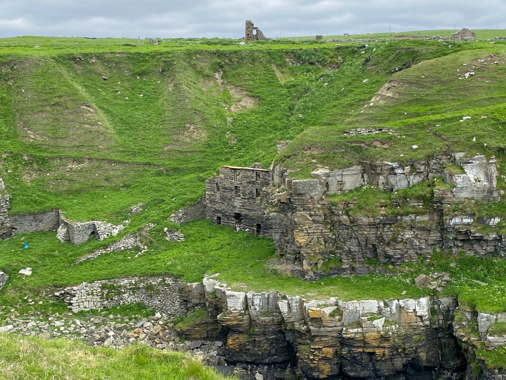
The final ruin of the day was an old herring station at Achastle-Shore, built in 1810. It was designated as a monument of national importance in 2016.
We arrived at Lybster with time to spare before we could check into our B & B. As there still wasn’t a cafe we were able to finish drying the tent on the village green.
A warm morale boosting welcome awaited us as at The Antlers, with a large pot of tea and Tunnocks Teacakes and chocolate wafers. We were also given a choice of rooms, so chose upstairs which had a wonderful sea view.
The husband of the host had lived an interesting life. Born in Canada of a Scottish father, he returned to Scotland and had worked in farming, fishing, tanning and cheese making, among other things, and was full of knowledge on the local history.
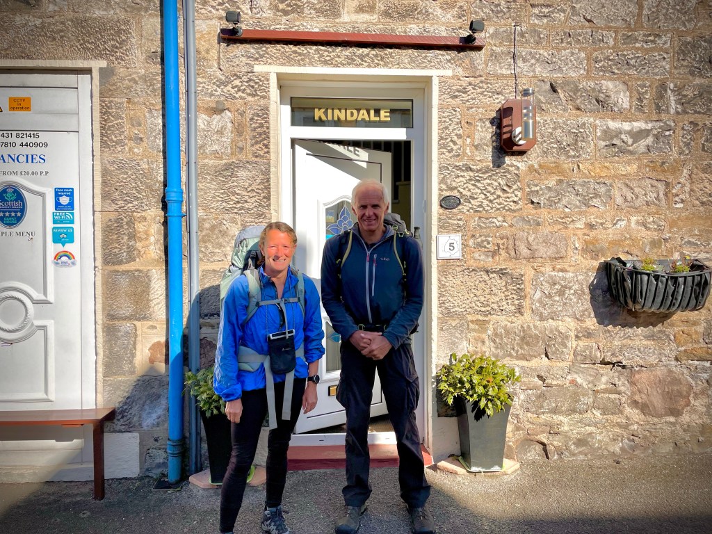
A very comfortable night at Kindale House B & B, Steve felt very at home as the proprietors spoke his language, being from the Midlands. They had also lived in the Scilly Isles before moving to Scotland, anything to get away from Birmingham. A delicious breakfast of kippers for Lynn and a full Scottish for Steve, set us up for a few hours.
Another glorious day, sunshine from the outset, with just a few clouds later.
Our mornings walk was along the highest part of the JOG trail and was described as rough coastal walking in the guide. The 15 kilometre walk to Berridale was estimated to take 6-7 hours. We were pleasantly surprised by the route, it was very similar to walking the South West Coast Path, well signposted, steep ups and downs, although a little more overgrown in places and it only took us four and half hours (walking time).
We saw more evidence of the Highland clearances as we passed the ruins of former croft communities including the village of Badbea. These coastal crofts originated in 1792 when there tenants were evicted from inland mixed farms to make way for sheep grazing. Life was hard, and most crofters decided to emigrate. One plaque commemorates a family who moved on to New Zealand.


Just before Berridale we had a quick chat with a day walker, he mentioned that despite the JOG trail he had seen backpackers walking down the A9, whilst driving to the start of his walk and thought they were possibly put off by the amount of ascent and descent on the trail. Later in the day we also spotted a backpacker on the A9, from the coast path. This may explain the lack of people we met on the trail, we only saw three day walkers on the coast path today.
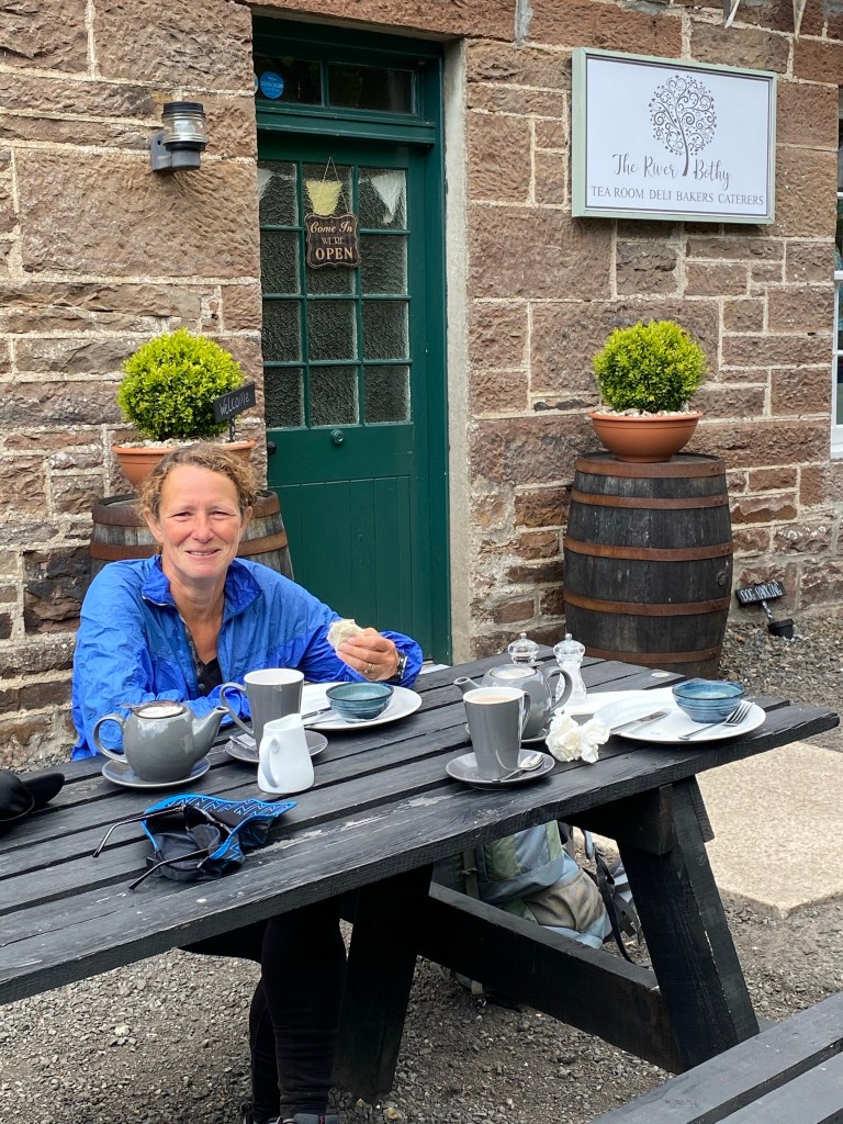
After a good lunch at The River Bothy Tea Rooms in Berridale, we set out for the walk to Dunbeath, also described as rough coastal walking. The going was a lot tougher afternoon, the ferns and grass must have put on a growth spurt on while we were having lunch. In addition to the thick undergrowth there were some tricky sections of path squeezed between the stone wall and the cliff edge, not great if you haven’t got a head for heights like Lynn, still it took her mind off looking for adders for a while.
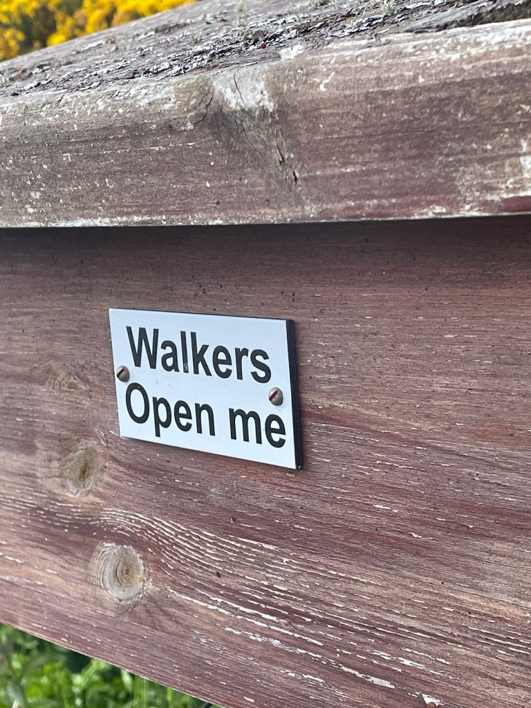
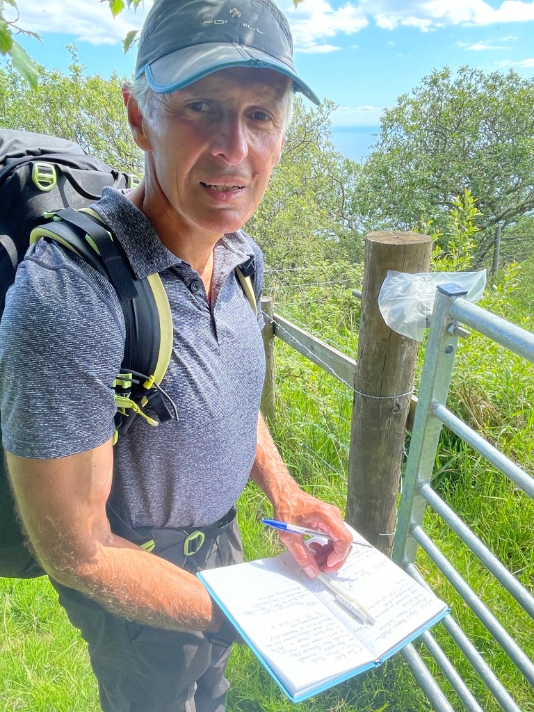
We passed a wooden box on a post labelled ‘walkers please open’. We gingerly opened it up expecting it to explode but it just contained an invitation from the trail charity to sign a book detailing our walk and leave comments and contact details. We entered details and had a quick look at previous entries. A southbound end to ender had signed it three days previously.


We did have an easy section of woodland path to finish the day, before arriving Dunbeath and Inver Caravan Park.
The owners had sent very specific arrival instructions about pitching the tent before reporting your pitch number to reception. Very unlike Steve, but he had actually read them which delighted the proprietor, who said he was ‘one of the elite’, when he asked why, they replied ‘because he’d actually read the instructions’, most people don’t.
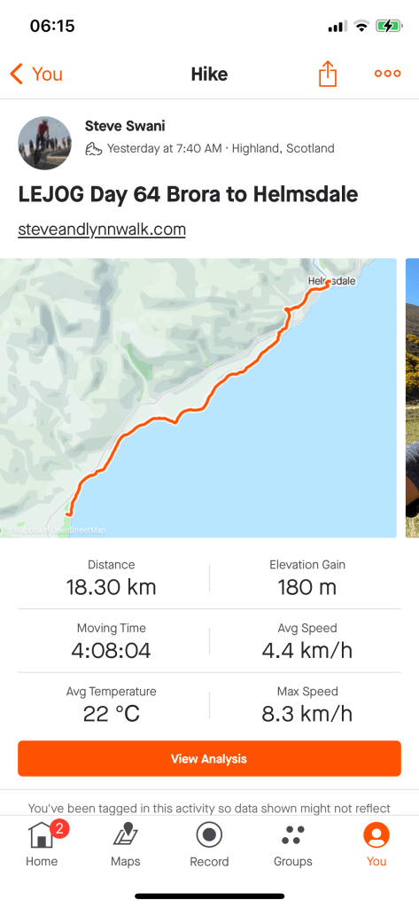
A fresh start followed by a beautiful sunny day.
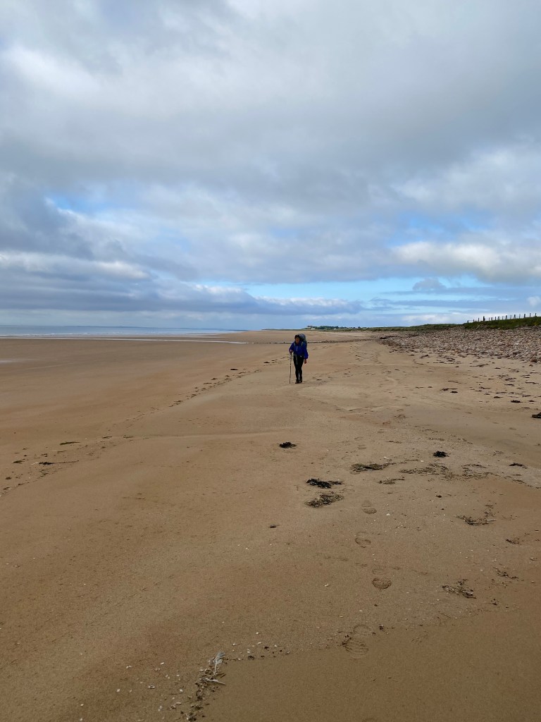
Straight out of the back entrance to the campsite and we were on the JOG trail, through a golf course. After the golf course the path ran between the beach and the railway track and was narrow and very rocky in place, which made for difficult walking.
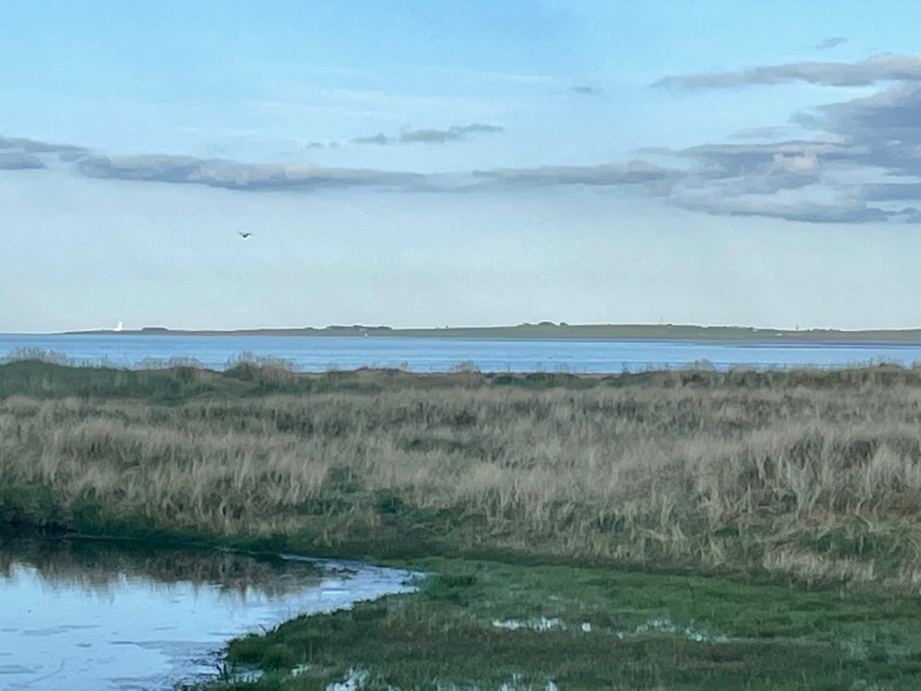

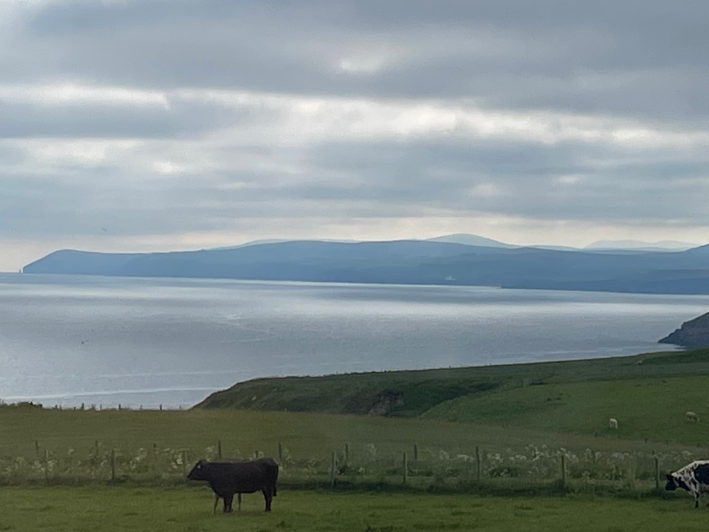
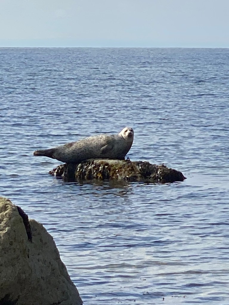
After a while we decided to abandon the path and walk along the beach. The tide was out and the sand firm and we were closer to the wildlife, mainly seals and seabirds although at times the cattle and sheep strayed onto the beach.
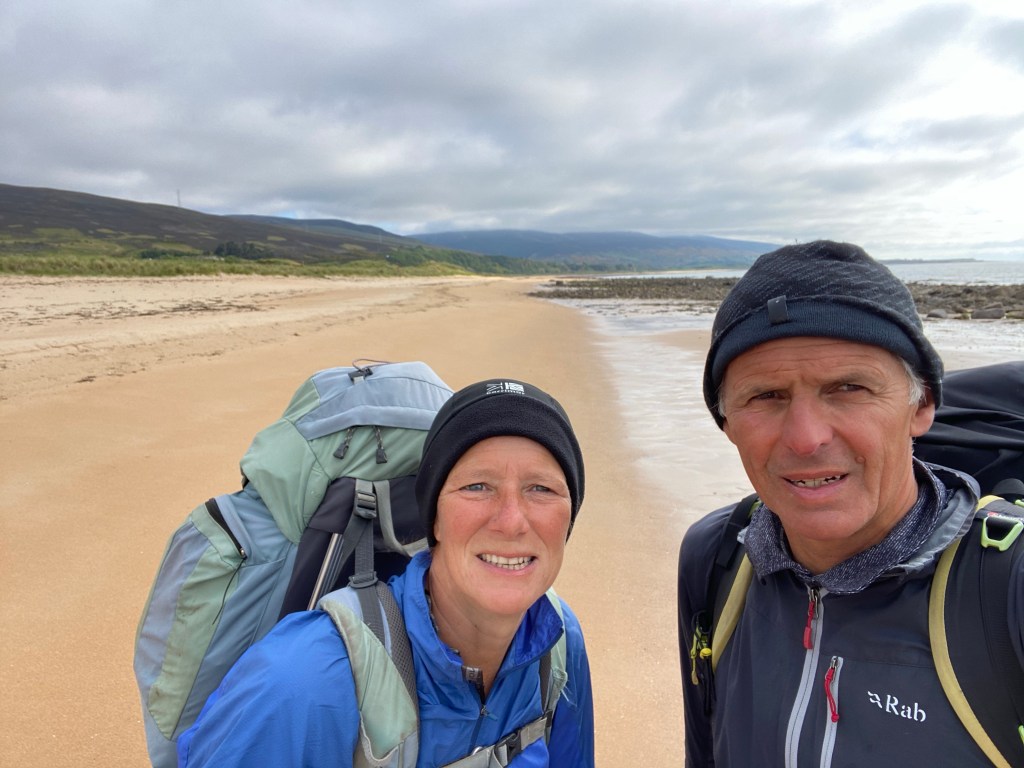

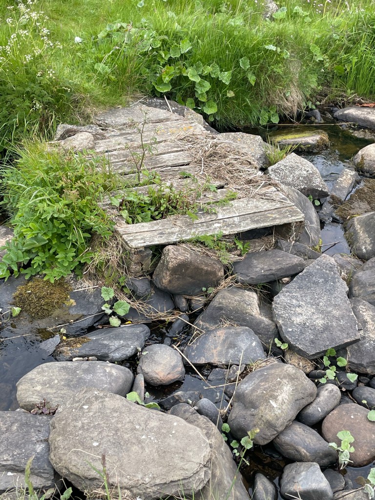
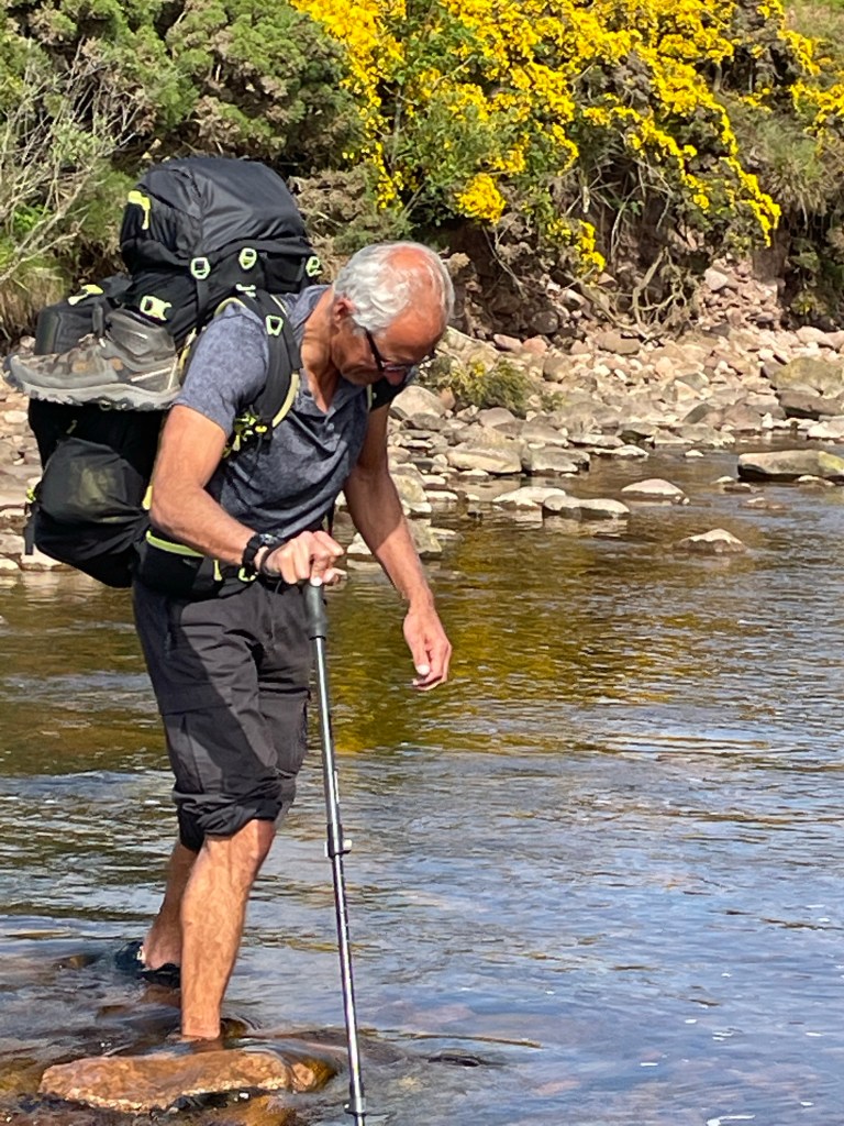
There were a few streams to hop across, which didn’t cause any issues, a bit further on there was a 3 metre wide river to negotiate, Lynn chose to cross in her walking boots while Steve took the more sensible option and changed into his trainers and rolled up his trousers, we both used our ‘old person ’ walking sticks for balance.

After the river we had a quick chat with a dog walker who told us minky whales had been spotted just off the coast this morning, which gave us something else to look out for, unfortunately we didn’t spot them.


There was an option to walk all of the way to Helmsdale via the beach at low tide, but after the easy walking sand came a section on pebbles, which was hard going and the guide indicated the final stretch was even trickier underfoot, so we took the high tide option.
The inland option took us over a level crossing, up to the village of Portgower and another climb to cross the top of a valley, it was worth it for some more amazing views, inland and back to the coast.
As we were dropping down to Helmsdale we stopped to chat to a lady who was sat outside her house, whale spotting, she had seen two minky whales 10 minutes earlier, through her telescope. She was a wildlife expert and told us about all of the whales and dolphins to look out for between Helmsdale and JOG and how to identify golden and white eagles. She also told us to look out for adders on the path ahead, not something Lynn wanted to hear about.

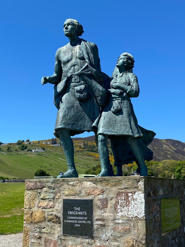
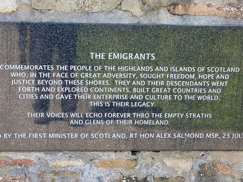
As we mentioned yesterday a significant period in the history of Scotland was the Highland clearances and the wholesale displacement of families and communities to other parts of Scotland and the world.
A fitting and moving memorial dominates the village of Helmsdale.

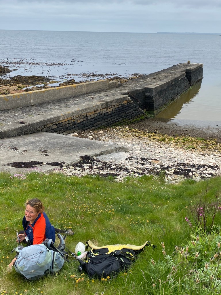
An early finish was welcome after three long days on the trot and we were finished by 1330. After a hearty cafe lunch and dropping our backpacks at the B & B, we went to enjoy an afternoon in the sun sat by the harbour.


