LEJOG Day 63 – Durnoch to Brora. 22.55 miles. Cumulative 1144.45 miles.

Dornoch campsite
Dornoch campsite

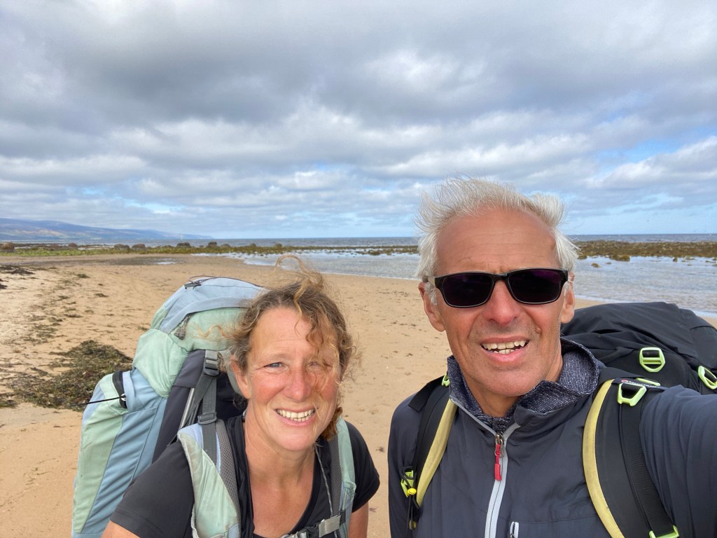
A beautiful day, with warm sunshine and just a bit of cloud in the afternoon.

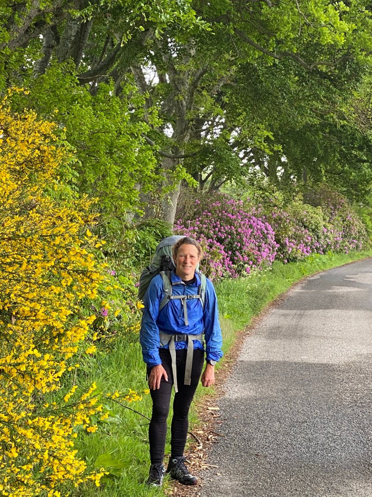
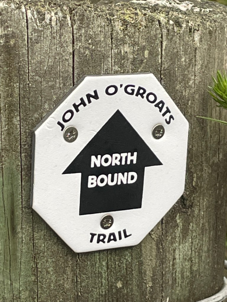
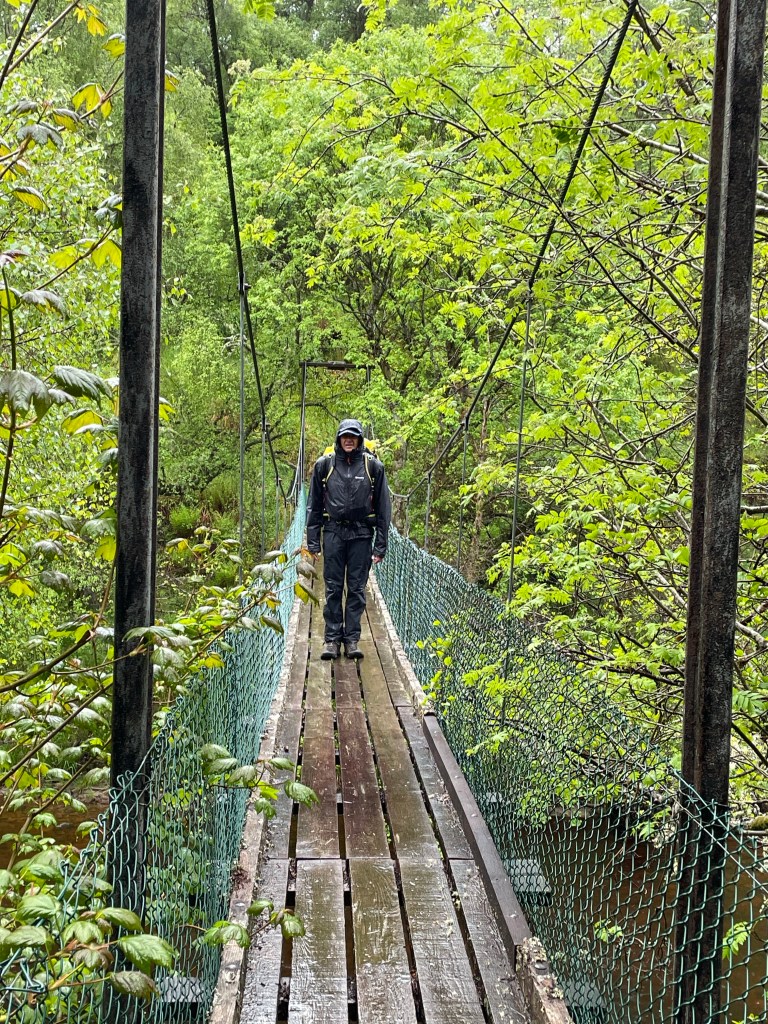
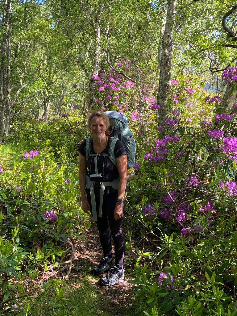
The JOG trail didn’t disappoint today and on the whole not too many issues. There was one dodgy bit of sign posting, where the arrow direction didn’t match either the map or the walk description, after a debate, we decided to ignore the arrow and fortunately this was the right choice. There was one section of narrow path through some woodland which was slightly overgrown and definitely will be once the ferns flourish.

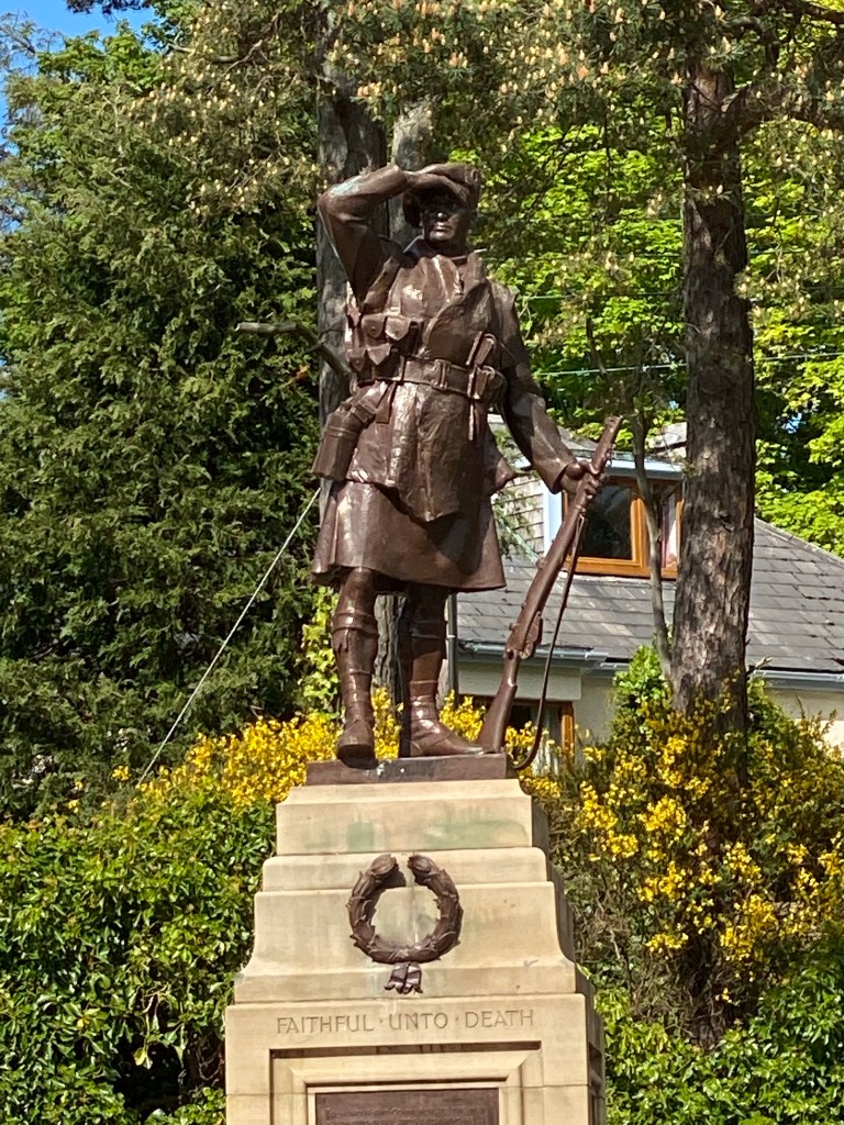
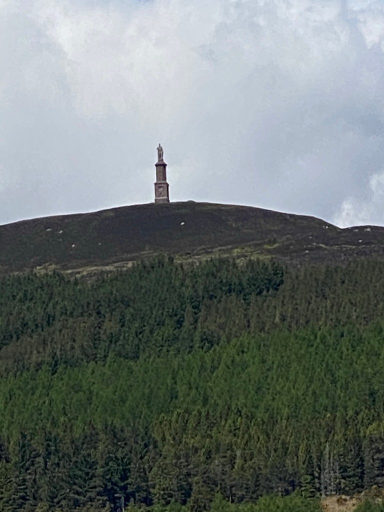
The mornings walk was dominated by the Duke of Sutherland, his 30 metre statue looking down on us from top of Ben Bhraggie mountain. The 1st Duke was clearly very aware of his own importance although he got a mixed press for his role in the Highland clearances. Many families were moved from their mixed farms in the Highlands to make way for more profitable sheep farming. The evictions prompted some families to emigrate in particular to Canada. The Canadian whisky taster from Halifax, Nova Scotia we met at the hostel in Delwinnie had traced his family ancestry back to Scots who emigrated as a result of the clearances. A statue we will see in Helmsdale tomorrow depicts a fleeing family.

Statue of the 1st Duke of Sutherland

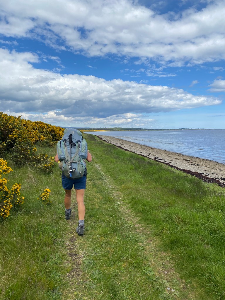
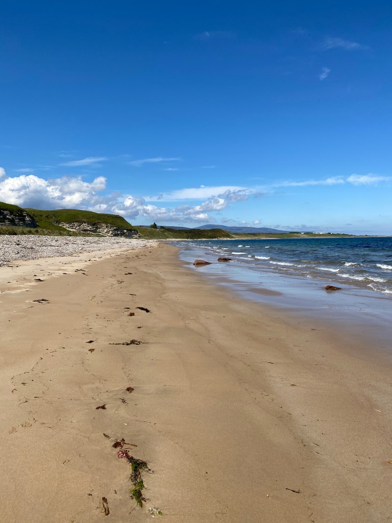
The route initially took us from Durnoch to Golspie, via sand dunes, a disused railway and across Loch Fleet.

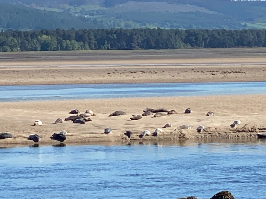
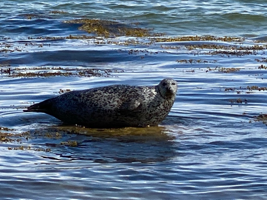
Loch Fleet didn’t disappoint with hundreds of Harbour Seals basking close to shore in the sunshine, mothers with their pups and huge bulls all making a lot of noise. We watched as one pup waddled back into the water egged on by it none to happy mother.

Some of the Loch Fleet Harbour Seal Colony

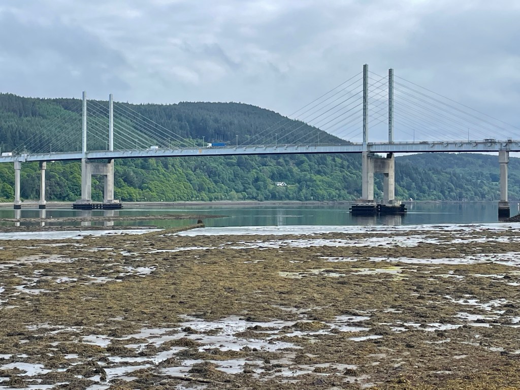
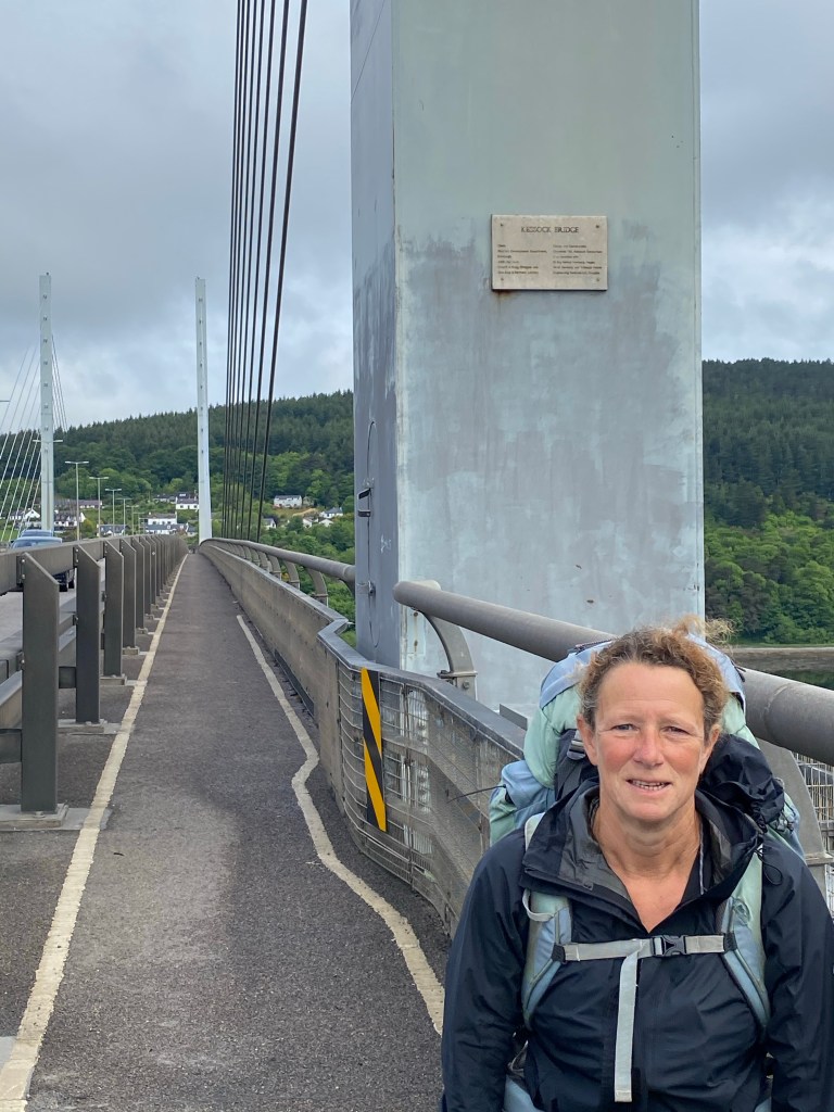
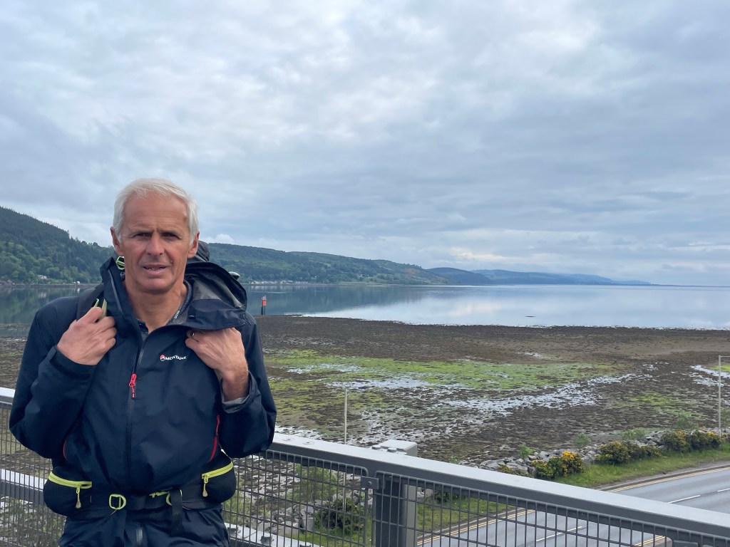
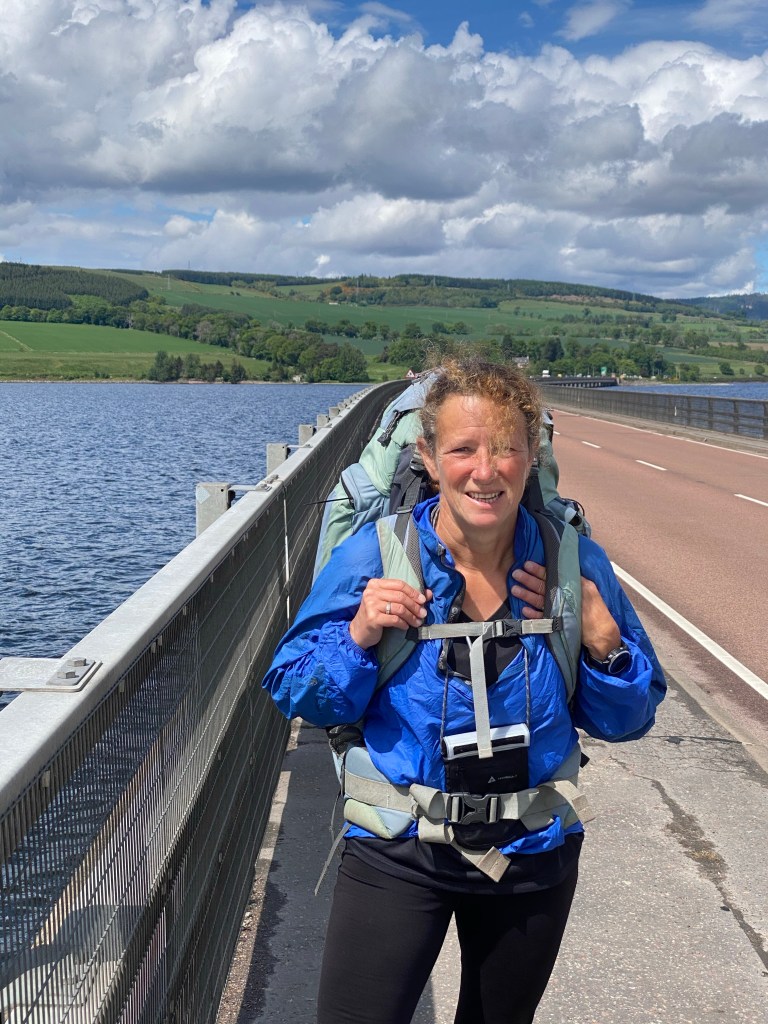
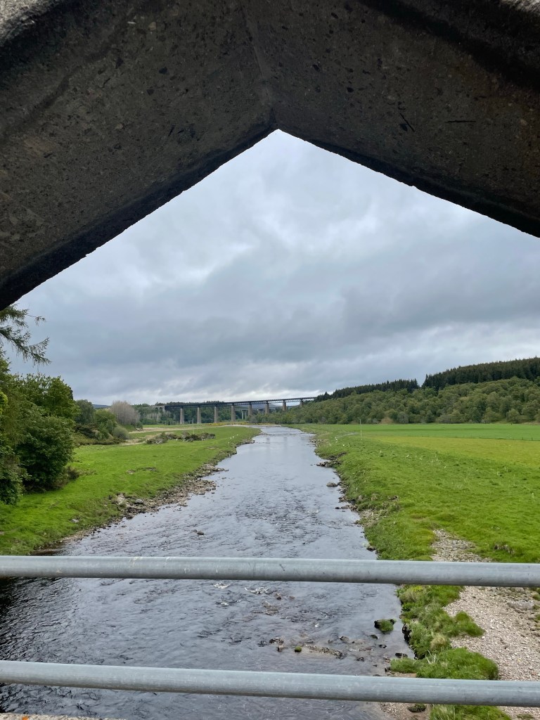
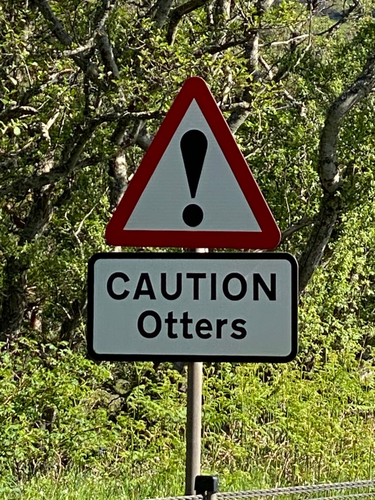
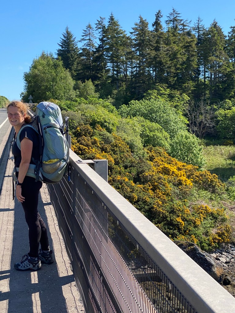
We left Loch Fleet over the A9 road bridge being careful not to tread on any sea otters before a multi terrain hike ending with a walk along the edge a golf course. On the golf course we were approached by a couple of Canadian golfers who had passed us in their car much earlier in the day and had interrupted their game to chat about our walk.

We had a large lunch at The Coffee Bothy in Golspie and to celebrate the nice weather we followed it up with an ice cream.

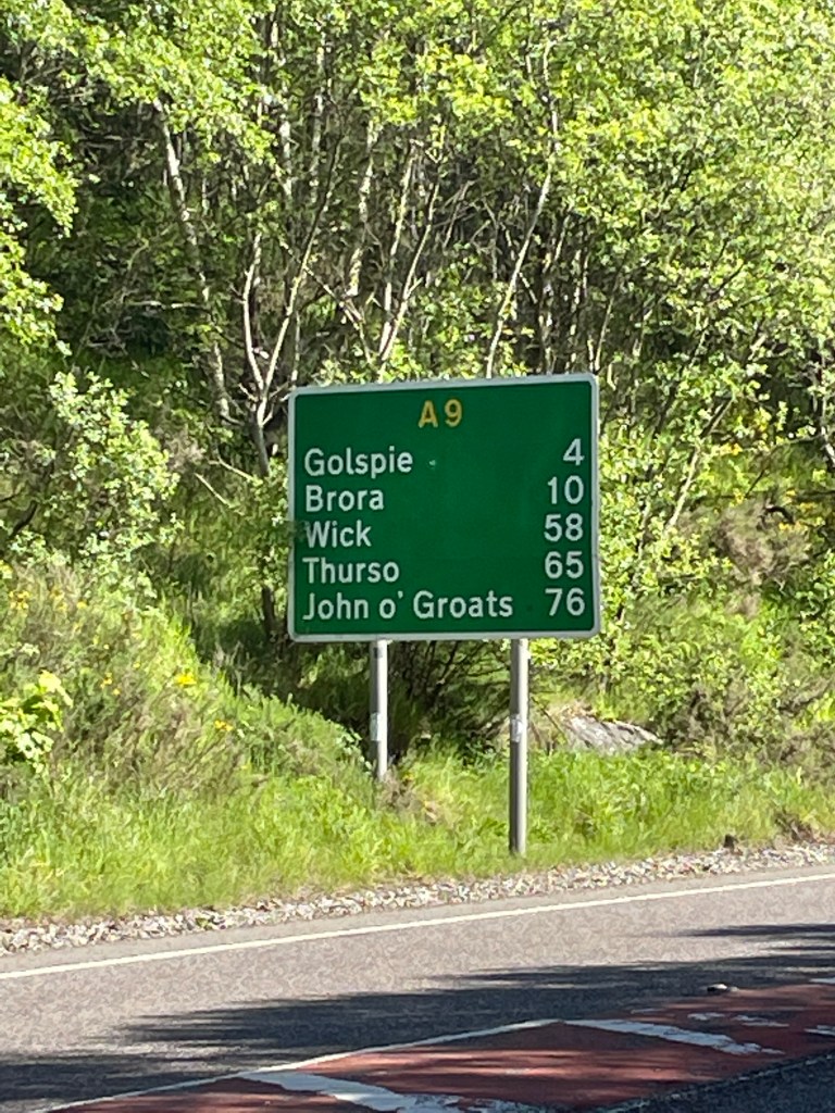
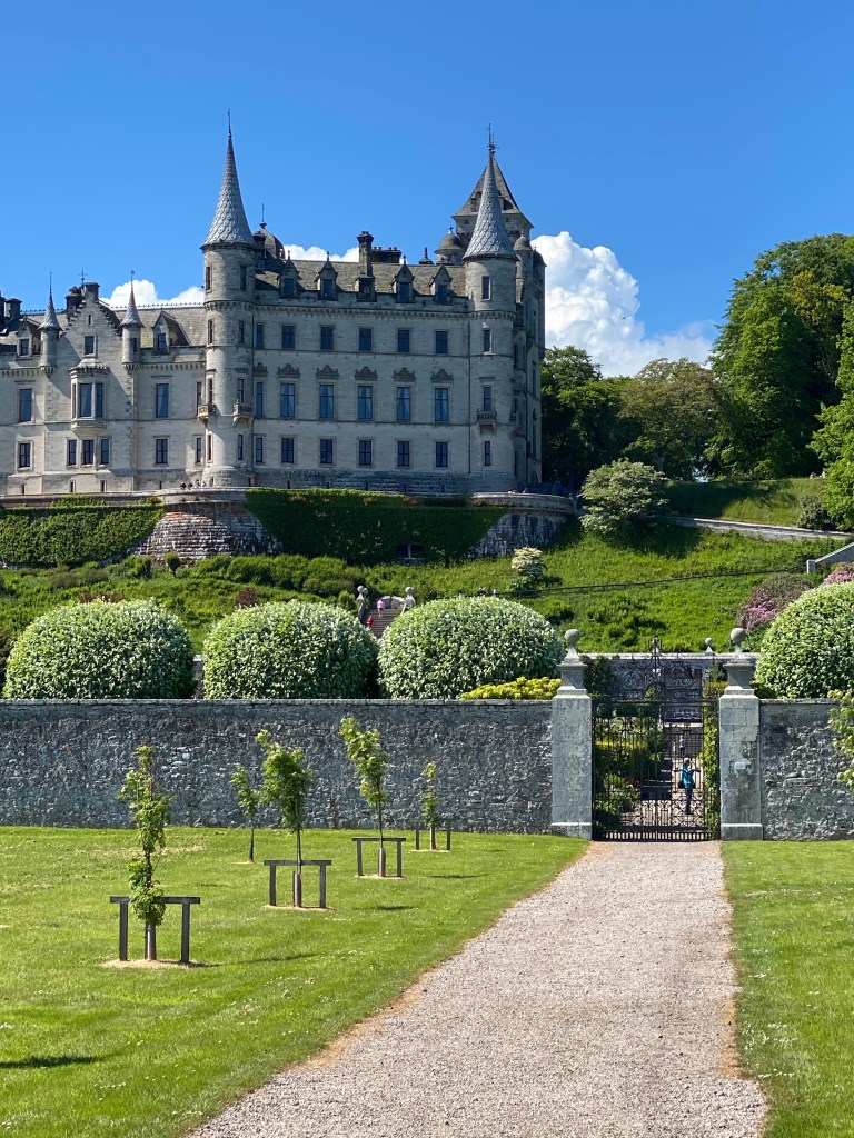
The afternoon took us along the coast from Golspie to Brora, passing Dunrobin Castle.

Before Lockdown
After Lockdown

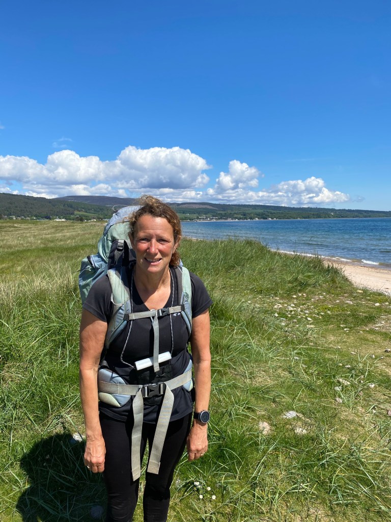
Our next sighting of seals was walking along the shoreline between Golspie and Brora a long stunning stretch of pebble and sandy beach. There were numerous seals close to the waters edge and we even managed to photograph one basking on a rock. The highlight of the afternoon was spotting a sea otter scuttle down the beach and into the sea.

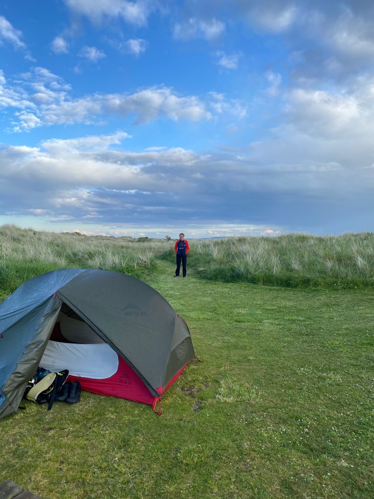
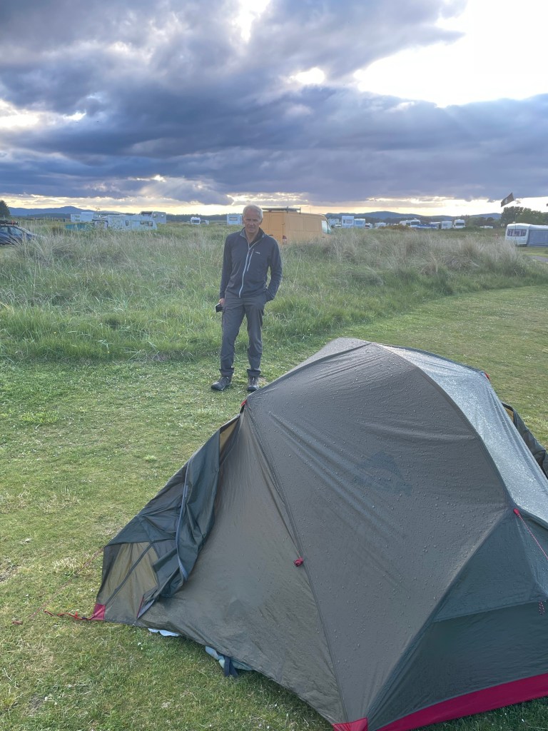
Our penultimate night of camping tonight is at Brora Caravan Site.

Brora clock tower
Advertisement

LEJOG Day 62 – Evanton to Durnoch. 26.09 miles. Cumulative 1129.90

A drizzly morning, cleared to a warm afternoon with some sunshine.

We left our cosy pod in Evanton behind and rejoined the JOG trail passing through Alness.

The JOG trail uses the same route as NCN 1 for most of the way to Tain, there were a couple of sections of path through the forest on the JOG trail, but the cycle route was fairly quiet so we decided to stay on the road. The views were predominantly of oil and gas rigs anchored in the Cromarty Firth.

Alness

We reached Tain in time for lunch and we were rather disappointed with the lack of cafes, one we had used previously now only did takeaways and the other was a bit up market for a couple of smelly backpackers. Fortunately the sun had come out so we found a bench to eat a take out lunch from a Harry Gow bakery.

Tain

We rejoined the JOG trail and walking through some woodland spotted a deer, our first for a few days. After the woodland we rejoined the A9 to cross Durnoch Firth on another impressive bridge with fantastic views in all directions. We left the bridge by climbing the crash barrier and shimmying down a steep bank to reach the shore of the Firth.

After a walk along the shoreline and a short stretch of road we were back in the forest and passed the remains of a Bronze/Iron Age settlement of 25 hut circles. Just before reaching Durnoch we passed a standing stone where St Gilbert is said to have slain the Durnoch dragon with a bow and arrow. Steve found this rather fanciful as he knows it takes a lot more than a bow and arrow to get rid of a dragon.

Durnoch is home to Scotland’s smallest cathedral and the former Bishop’s castle is now a fine hotel.

Tonight we are camping at Durnoch Caravan and Camping Park right by the beach and dunes. We were checked in by a lady who had walked the JOG trail. She gave us some useful tips on things to be aware of over the next week: tics, cliff edges, barbed wire, overgrown paths and river crossings. Only 7 days to go!

LEJOG Day 61 – Inverness to Evanton. 21.35 miles. Cumulative 1095.81 miles.

The first dry day for a while, with a few sunny spells.

We are primarily using the ‘John O’ Groats Trail’ for the remainder of the walk. This new coastal route joining Inverness to JOG has been developed since we did JOGLE in 2016 and is still a work in progress, but we hope it will avoid too much walking along the A9.

Today was a good start, the trail was well marked and mostly easy to follow, although it was boggy in places, which upset Lynn, as her new boots no longer look shiny and new.

On leaving Inverness and our first obstacle was the Kessock Bridge which took us over the Beauly Firth. The cycle path on the east side of the bridge was closed, with a diversion in place, fortunately we had found a ‘user report’ which gave us a short cut to the path on the west side, which did mean crawling under a fence and climbing a steep bank. Once on the bridge we had some good views of the Firth, but didn’t spot any dolphins which sometimes make a visit.

After the bridge we found our first signs for the path, which took us through forest with views back to Inverness. We passed numerous Christmas Tree farms before reaching the shoreline of Mulochy Bay and a very wet section of path. The aforementioned ‘user report’ from 2019 warned about a dead sheep and tricky stile, both were still there and required a muddy diversion.

We passed Clootie Well which is a holy well where strips of cloth are tied to trees as part of a healing ritual.

Thereafter, the route followed minor roads and good forest tracks to Culbokie and shortly after the Cromarty Firth Bridge, just over a kilometre in length.

Our final obstacle of the day was a ‘private level crossing’, which can apparently be used by anyone walking the trail, but it did mean climbing over two locked gates.

A final section on minor roads took us to our accommodation at Evanton, a camping pod which we had used on JOGLE, which was cheaper than a camping pitch!

LEJOG Day 60 – Auchnahillan to Inverness 8.26 miles. Cumulative 1074.46 miles

We had an early rise after a wet night. We had our porridge and tea in the campers kitchen, before packing up a very wet tent.

It remained showery with low cloud throughout our short walk to Inverness.

We left NCN 7 early on to take a shorter mainly off road route to Inverness, we weren’t sure if this would be a good idea as there was a river to cross and a steep bank to climb before crossing the A9 dual carriageway. Luckily there was a wobbly bridge over the river, steps up the steep bank and a central crossing point on the road.

‘Only one at a time’ suspension bridge.

Safely on the other side of the A9 we picked up the military road through Inveranie Forest which took us to the outskirts of Inverness. There was a large section of forest which had been cleared and it was noticeable in this area the standing forest was less protected and had suffered wind damage.

We continued on the line of the old military road into Inverness, passing General Wade’s Roundabout.

After a short walk we arrived at the Premier Inn at 1030 and dropped our backpacks off before heading for Wetherspoons.

Lynn’s (first pair) of boots had started to fall apart over the last couple of days and she wasn’t sure if they would last another 150 miles, so she took the opportunity to replace them while in the city.

Even the Wetherspoons has sculpture
A scary animal with a man under it’s thumb guards the entrance to Inverness town hall.
New boots

LEJOG Day 59 – Carrbridge to Auchnahillin 17.42 miles. Cumulative 1066.20 miles.

After an easy day yesterday we were refreshed and ready to go again. We had a lovely stay in our camping pod, watching the wildlife through the picture window, rabbits, deer and we even saw a cat prowling in the woods that had all the features of a Scottish wild cat.

View from the pods bedroom window.

A day of drizzly showers and still rather chilly.

A taxi ride to start the day as there wasn’t a bus service on a Sunday and the first train to Carrbridge wasn’t until 1230. Although there are several taxi firms in Inverness, Steve was nearly at the end of the list before managing to make a booking the previous evening.

Our route today followed the NCN 7 again, a mix of road and cycle path. Continuing with the animal theme, we saw our first red squirrel of the walk, signs had first appeared in the Pennines, so it was a real treat to spot one.

Not a real Red Squirrel but this one was large and slow enough to be photographed.

A long climb near the start of the day took us to Slochd Summit at 401 metres above sea level, before dropping down and crossing the Thomas Telford Bridge into Tomatin, which promised a cafe.

View from the Thomas Telford Bridge towards the rail and A9 bridges at Tomatin.

Given it was a Sunday, in what appeared to be a village in the middle of nowhere our hopes weren’t high, but the cafe was open. The cafe was also a community hub with a small shop and was busy with cyclists as well as normal people!

Horny Cow (L) and Lynn (R)

Much of our route has followed B roads which were once the original A9 before the ‘modern’ A9 trunk road was built. Often these roads, in turn, were built along the route of the original General Wade Military Roads. This network of roads in the Highlands were built in the 1730’s to assist the military in quelling the Jacobite rebellion. The roads also had military forts along them at regular intervals, hence Fort William, Fort Augustus and Fort George. The ruined barracks we photographed at Kingussie are another example.

We continued along the NCN to our campsite at Auchnahillan, passing several animal themed statues and benches.

‘It’s got my nose’

Auchnahillan is another village in the middle of nowhere. Other than the caravan park and a large care home (both sets of residents looked similar) there is nothing here, so we planned an al fresco dinner for tonight. There is a small campers kitchen on site with kettle and microwave and somewhere to sit in the dry.

LEJOG Day 58 – Aviemore to Carrbridge 10.11 miles. Cumulative 1048.78

A cold drizzly day, but at least the wind had dropped.

We had intended to stay at Carrbridge tonight, but had been unable to book any accommodation. Two of the B & B’s we tried were full, and the hotel couldn’t be bothered to check when we phoned and asked us to email, they didn’t have the courtesy to respond.

Our only option was to stay an additional night in Aviemore and walk to Carrbridge and catch the bus back. We were glad we did as Carrbridge was shut when we got there, at least the only cafe in town was, and it would have been a long afternoon waiting to get into accommodation.

We walked along the Speyside Way, through woodland, following the line of the Strathspey Steam Railway before rejoining the NCN 7 at the village of Boat of Garten. We managed to spot a couple of deer en route. Boat of Garten primary school was an ‘Eco School’.

We followed the cycle route to Carrbridge, home to the oldest stone bridge in the Highlands, which was 300 years old in 2017. Carrbridge also hosts the world porridge making championships and has many wood carvings around the village.

Fortunately we only had to wait 45 minutes for our bus back to Aviemore, to enjoy an afternoon and evening in the warmth of Costa Coffee and our camping pod.

Lynn and the 300 year old bridge. Lynn is in the foreground.
Outside our luxury pod
All mod cons

LEJOG Day 57 – Kingussie to Aviemore 18.06 miles. Cumulative 1038.67 miles

We had a warm welcome at The Osprey Hotel the previous evening. It was a small hotel, with only four bedrooms in use at present. The owners bought the business just before Covid struck and spent the last two years renovating the property to a high standard. A massive breakfast this morning set us up for the day.

The Osprey Hotel, Kingussie

A dry day but with but with a strong chilly wind and a lot of threatening clouds.

Our route followed a mix of The Speyside Way and The Badenoch Way, mostly on footpaths.

Leaving Kingussie, we passed the remains of Ruthen Barracks built between 1719 and 1721 following the Jacobite rising of 1715 which housed infantry to police the area.

Kingussie
Ruthen Barracks

Our route took us through forest and a chance for some deer spotting, we only managed to find one, but it kindly hung around long enough for us to get a photo. We then had a short stretch along the banks of Loch Insh passing an impressive outdoor activity centre.

At the village of Kingcraig we stopped to look at The Old Post Office cafe and got lured in by the owner, who had cycled LEJOG a few years ago. After a big breakfast we weren’t really hungry but we managed a delicious focaccia sandwich between us.

Steve had promised Lynn a flat walk beside the railway after lunch, he managed to keep half his promise. The walk was beside the railway!

Typical Speyside car and caravan combo

The Speyside Way left the railway and continued through Aviemore and to our accommodation for the night at Oakwood Camping. We decided to upgrade our camping pitch to a luxury camping pod due to the forecast for wind and rain overnight. As we settled in the rain started.

LEJOG Day 56 – Dalwhinnie to Kingussie 13.83 miles. Cumulative 1020.61 miles.

A very comfortable night in the hostel and a chance to sit and chat with our fellow guests, a retired telecoms engineer who had travelled the world with work and was in Scotland Munro bagging. Coincidentally, he knew Costa Teguise very well as his father used to own a time share property there. The other two guests where Canadian hospitality consultants and cocktail masters from Halifax, Nova Scotia, on a ‘working trip’ to Scotland visiting distilleries. The designated driver for the day had brought his samples back to the hostel and was writing tasting notes as he compared them. The oldest and most expensive one was a 25 year old whisky, matured in a Pedro Ximenez (sweet Spanish sherry) barrel. Steve likes whisky and Pedro Ximenez sherry so he now has some new whiskies to search out and sample.

Another mixed bag weather wise, very much like yesterday, but as people keep pointing out to us, at least it’s keeping the midges at bay.

The Old School House Hostel, Dalwhinnie.

We followed the NCN 7 all day, a mixture of minor roads and cycle paths.

A much shorter day, so plenty of time for tea stops. Our first port of call was Ralia Cafe, which we needed to visit as we had been told about the ‘Highland Coo’ statue which we wanted to photograph.

As often happens we were joined at our tea break. Far more polite than it’s St.Ives cousins.

Our next stop was Newtonmore, with its famous ‘wild cat centre’, a 10 kilometre trail around the village, hunting for 132 painted cats. Not wanting to add another 10 kms to our route we decided to see how many we could spot without leaving our route. As it started to rain a coffee shop interrupted our hunt and we lost count.

A lot more heavily laden cyclists en route in both directions today and a few backpackers.

We arrived at Kingussie at 1400, so time for a leisurely lunch before we could book into our accommodation, The Osprey Hotel at 1600.

We failed to note that yesterday we entered Perthshire our 16th county.