LEJOG Day 20 – Bourton on the Water to Chipping Campden 16.55 miles Cumulative 377.64

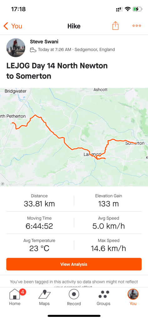
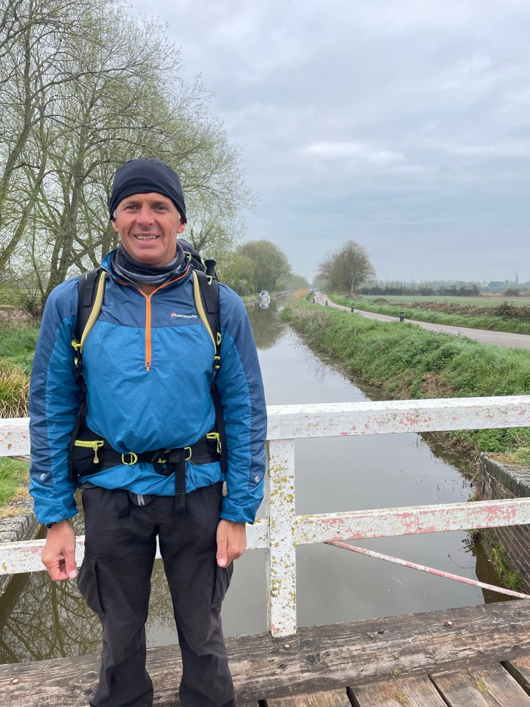
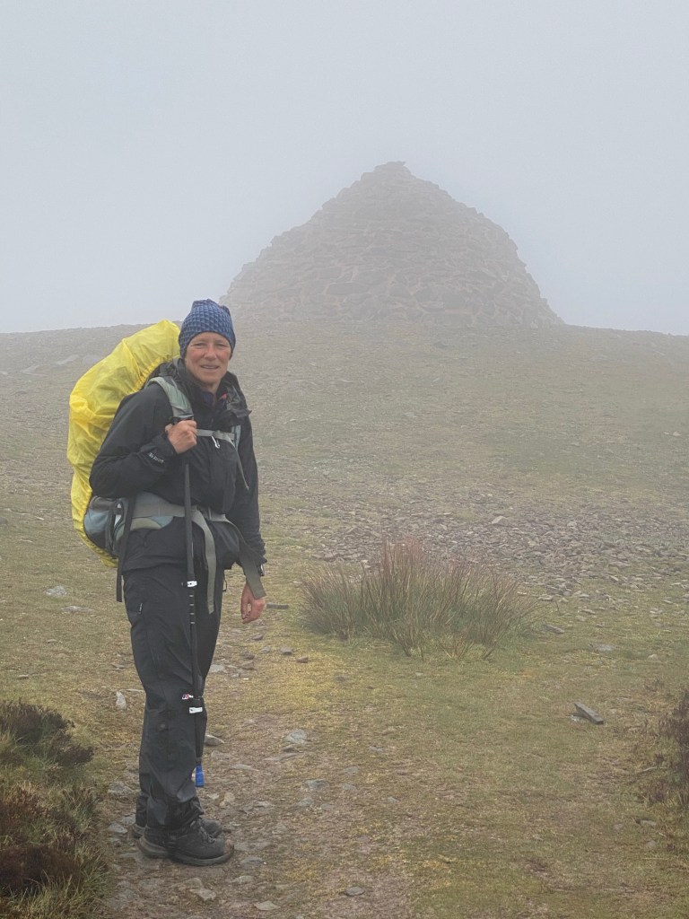
A cloudy start to the day, with a cold wind, but the sun came out as the morning progressed and it warmed up nicely.

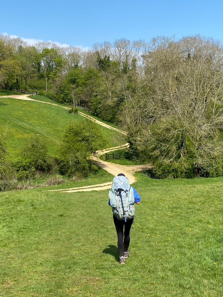
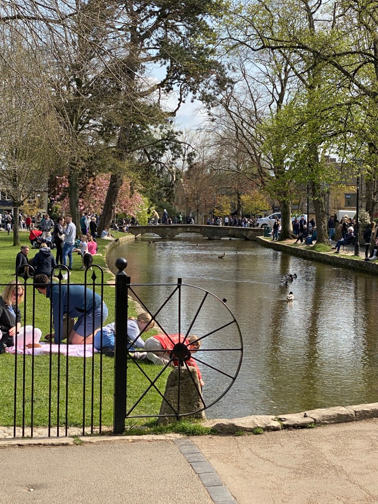
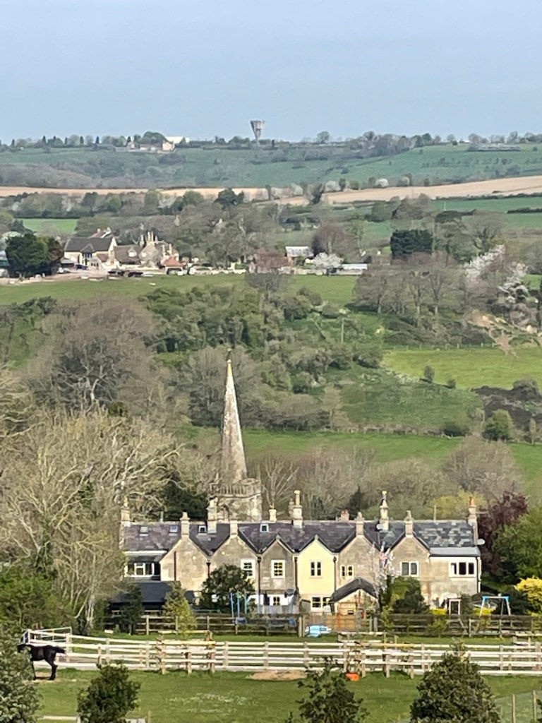
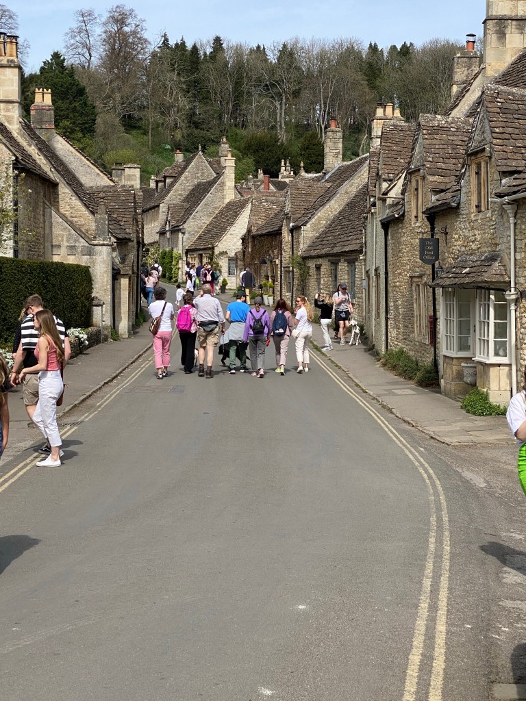
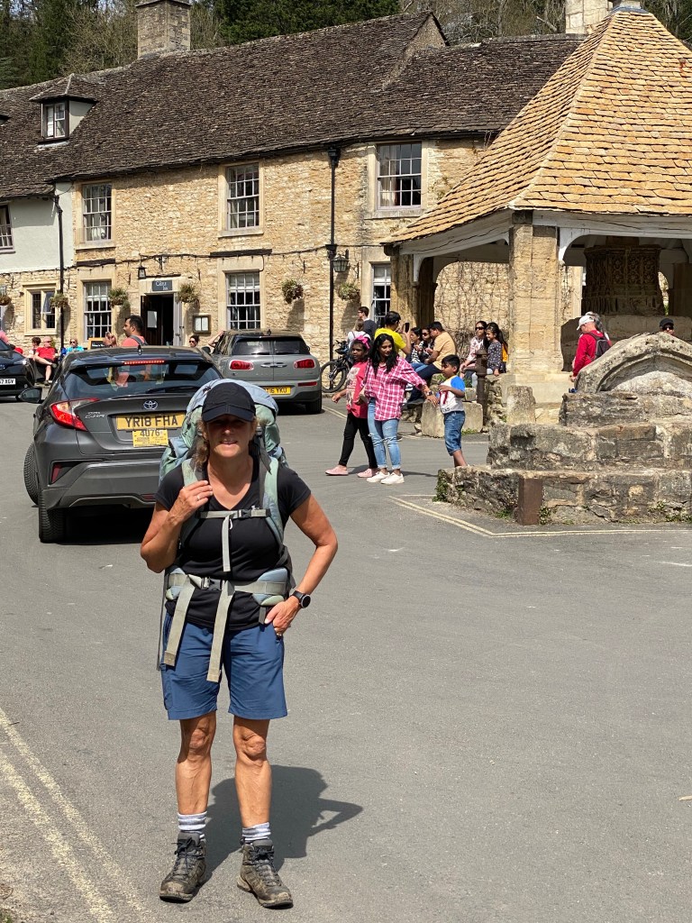
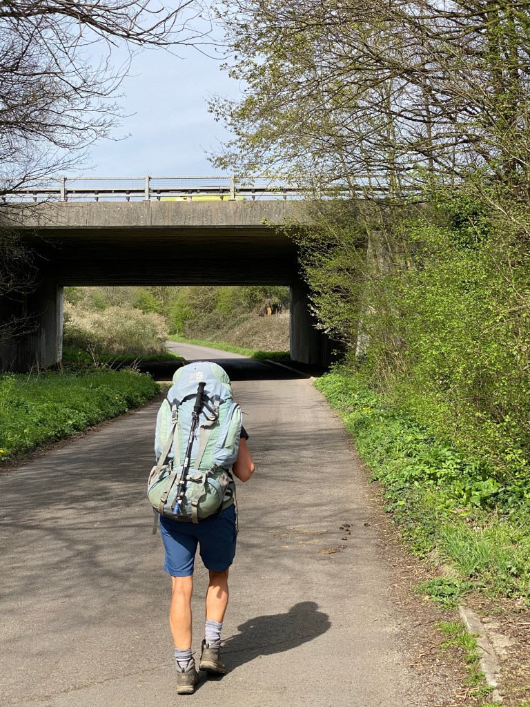
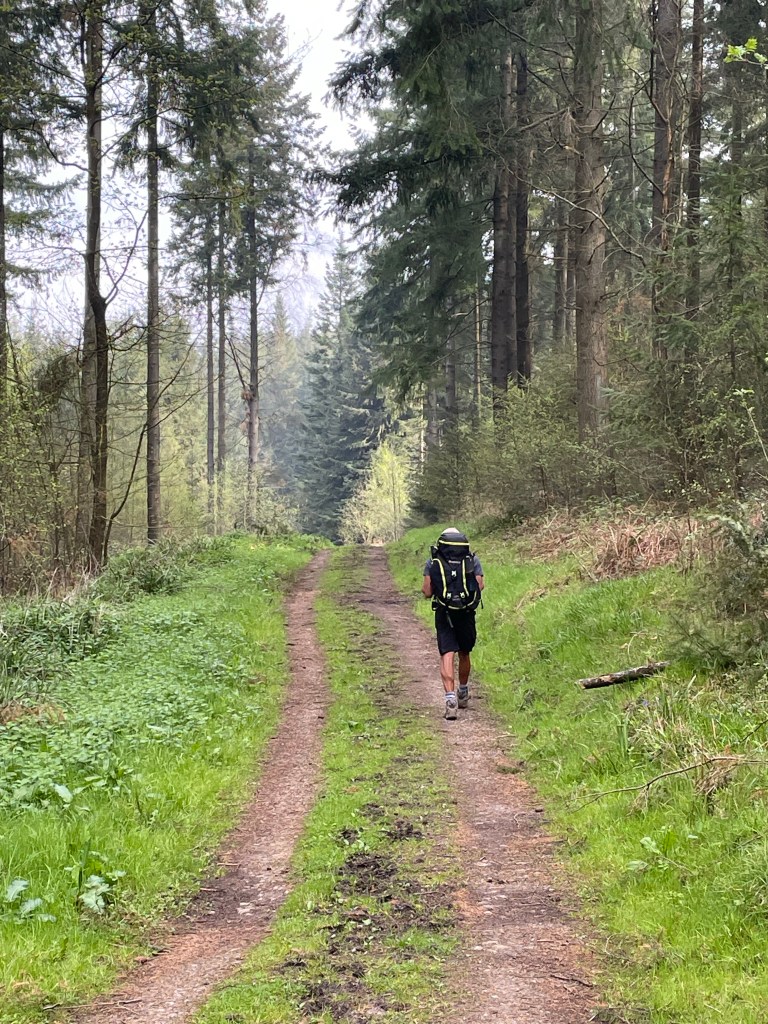
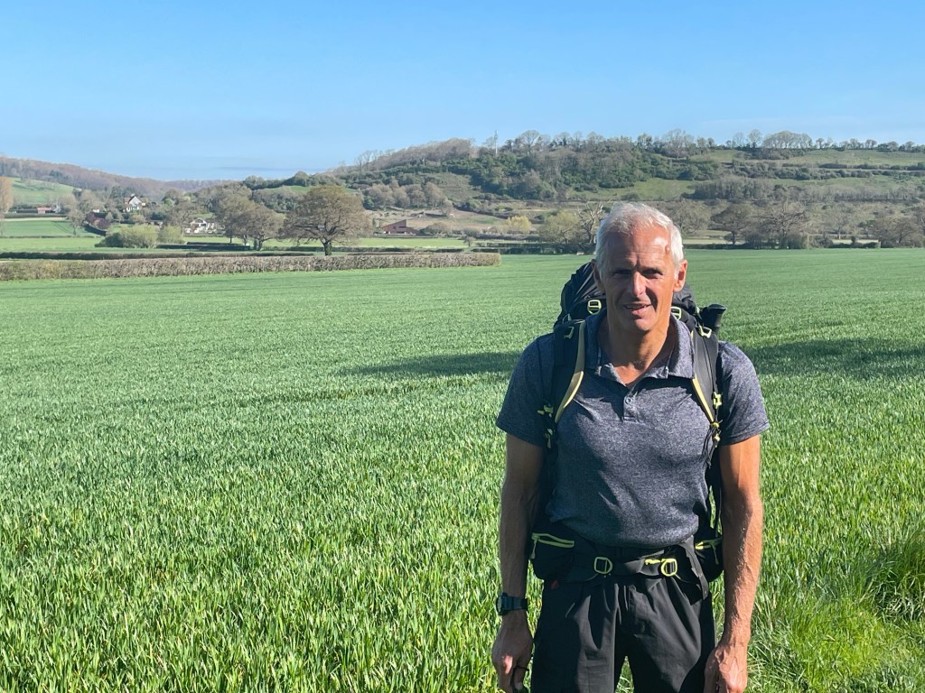
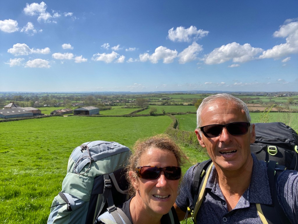
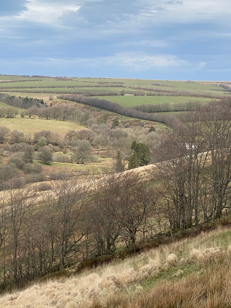
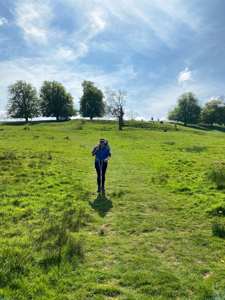
There are multiple long distance footpaths running concurrently as we leave Bourton on the Water, but we follow the Heart of England Way to Chipping Campden. The walk followed rolling hills, through farmland and country estates. Again, we pass through one picture postcard village after another.

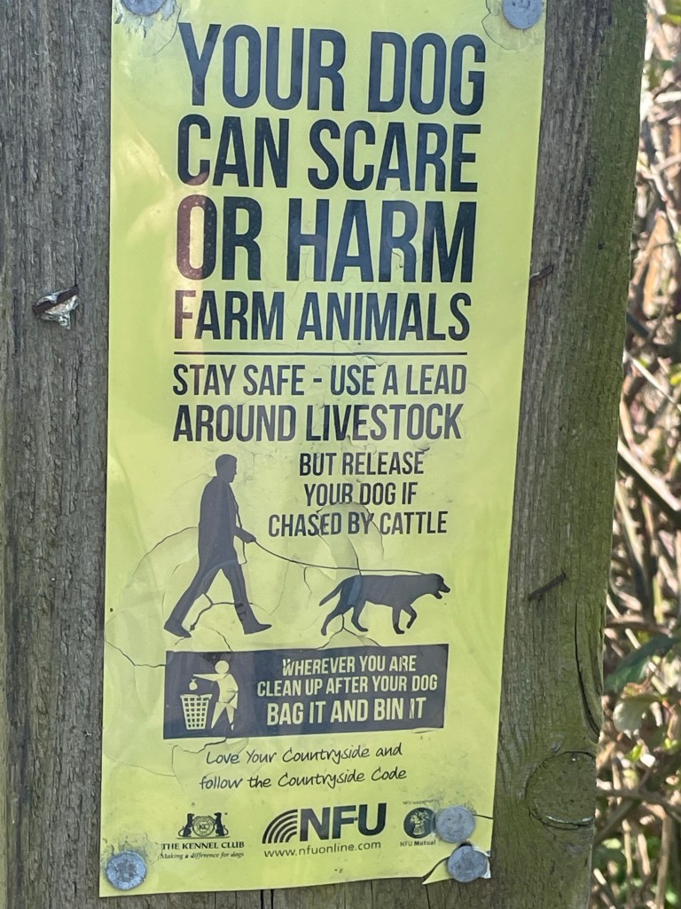
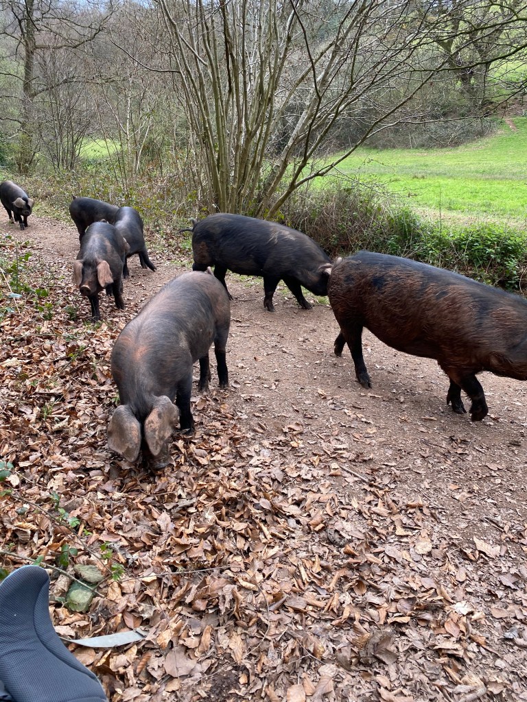
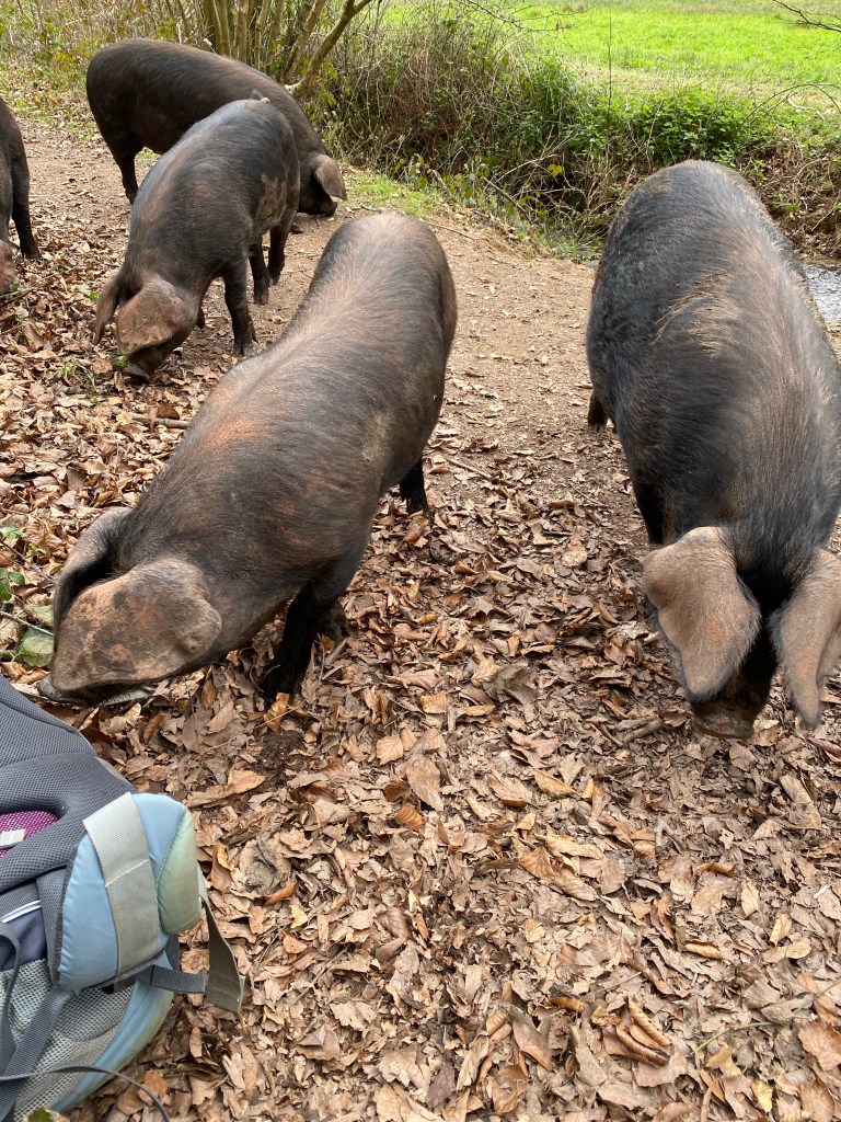
A field of cows at the start of the day caused a little concern, as the path ran through the middle of a field with over 100 cows spread across the path, fortunately dairy cows so they leave us alone.

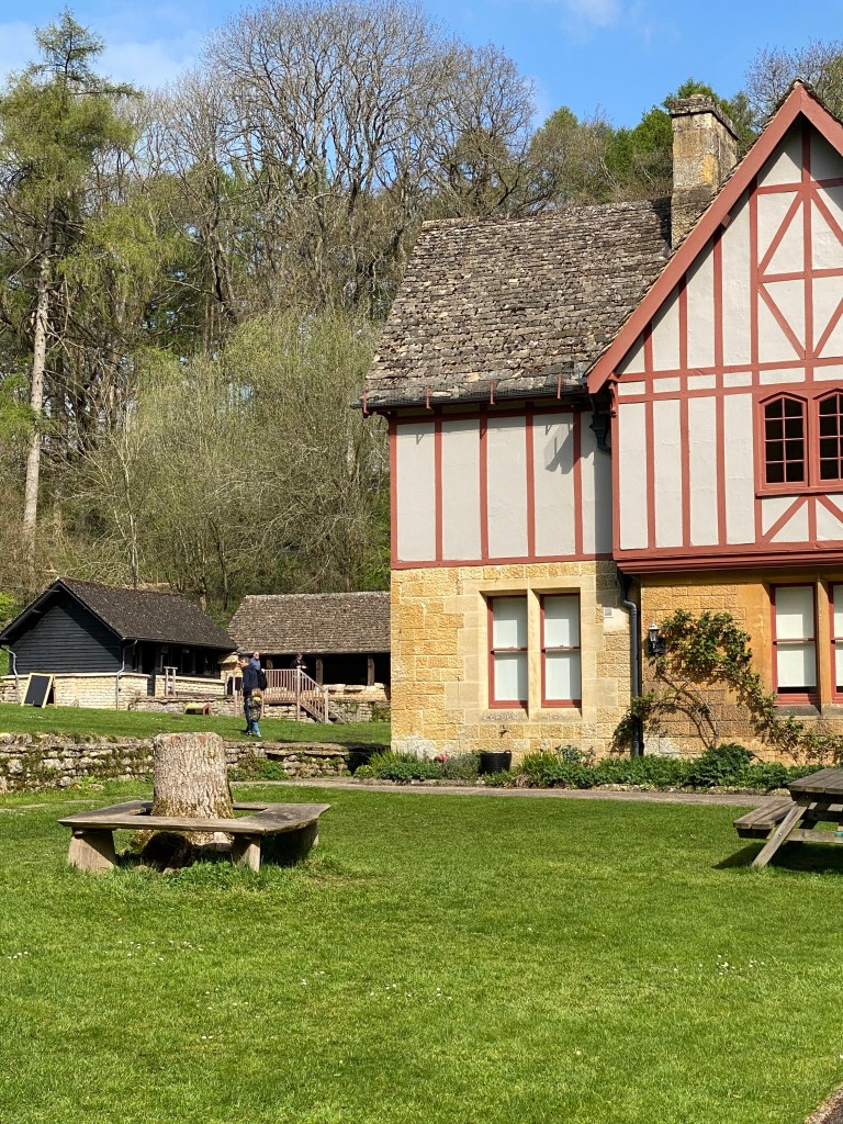
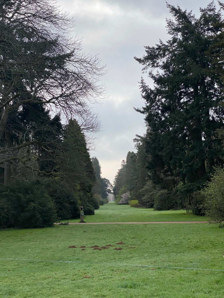
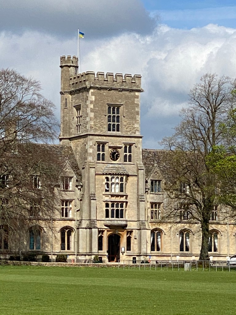
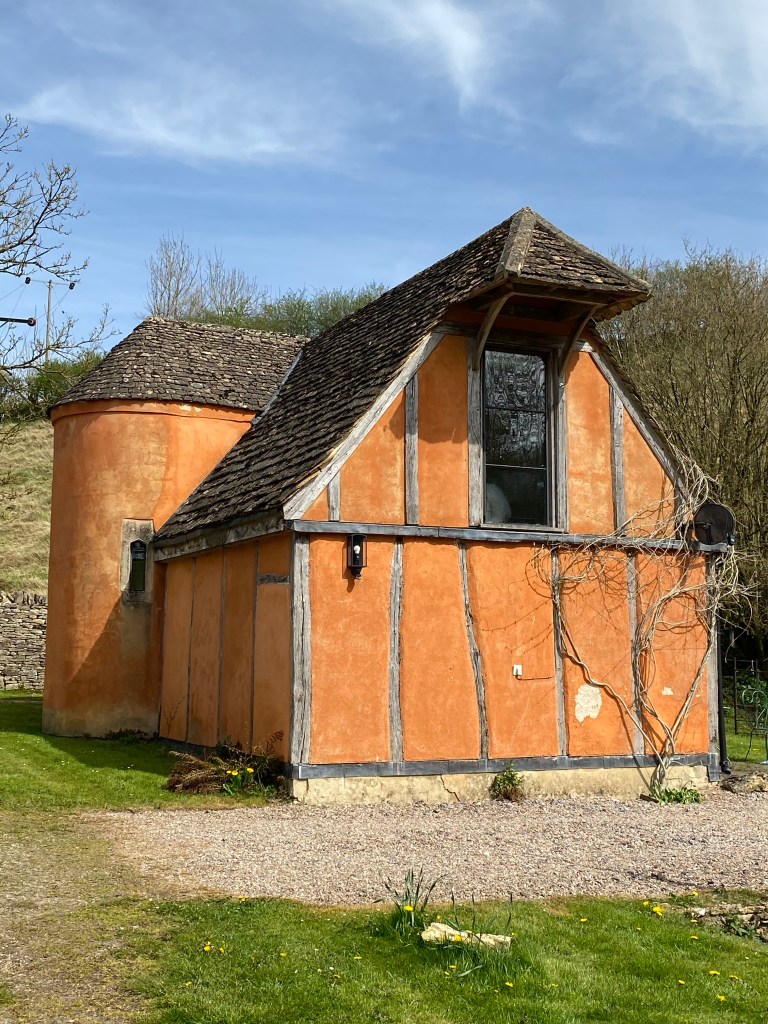
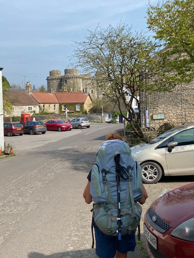
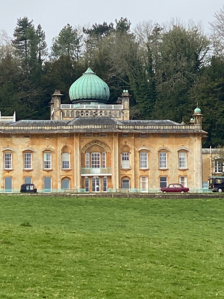
We pass many manor houses, the most notable being Sezincote House, which looked like it should feature in a costume drama. It turns out to be an exclusive wedding venue hosting only nine weddings a year.

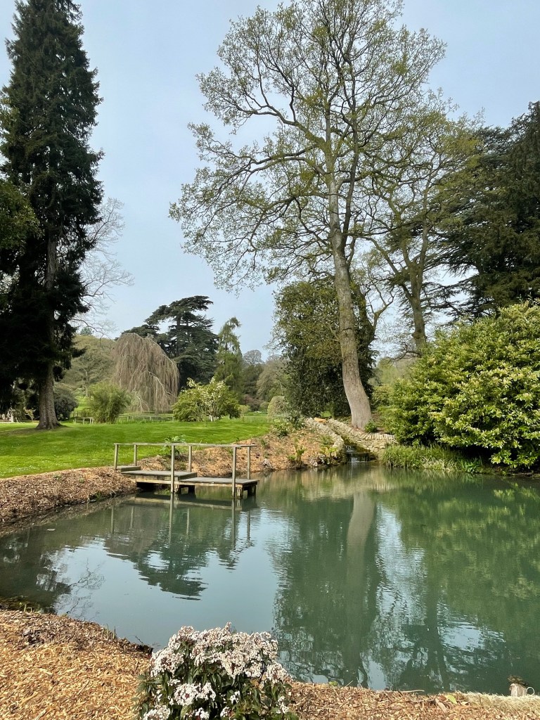
We pass near another arboretum, this one with a garden centre and cafe. Very tempting so we decided to pop in, not realising how long the entrance drive would be, once committed it was too late to turn back. A ten minute walk off the route wouldn’t normally be too bad if it wasn’t uphill carrying a large backpack, still very nice tea and cake. About 200 metres after rejoining the path we spot the shortcut to the cafe!

The Garden centre roof was being renewed with a wavy timber roof. Ray, Lynn’s Dad will appreciate the photo.

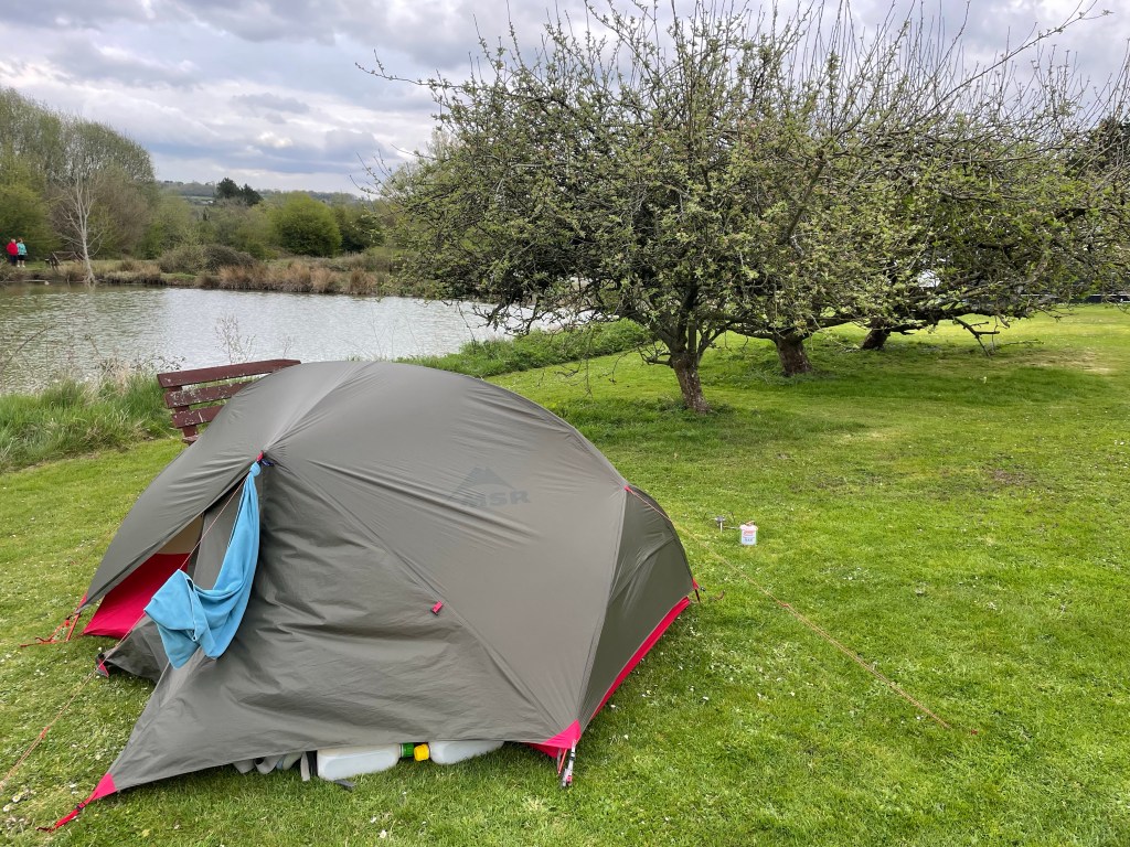
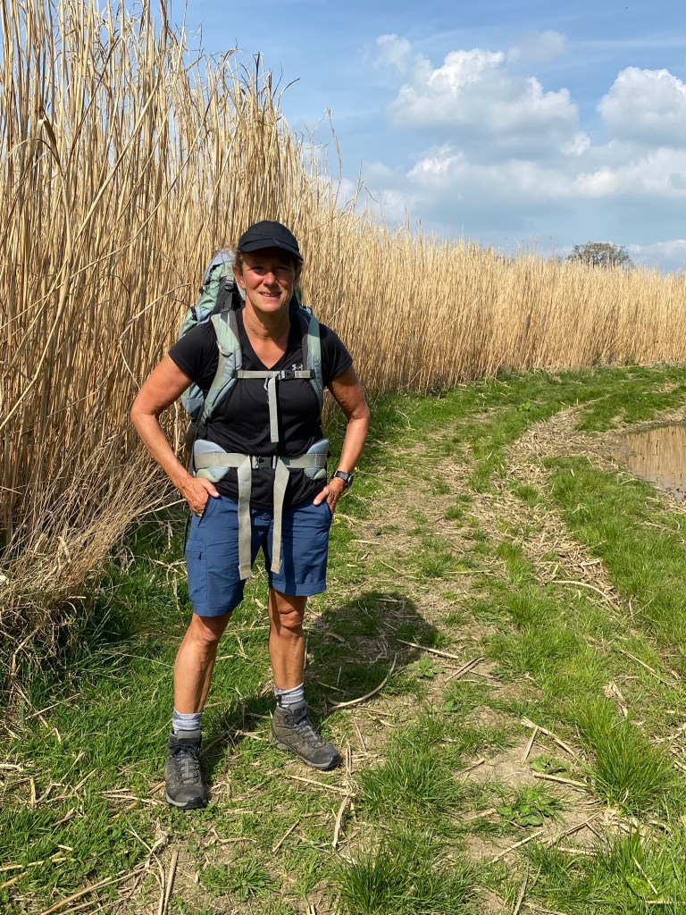
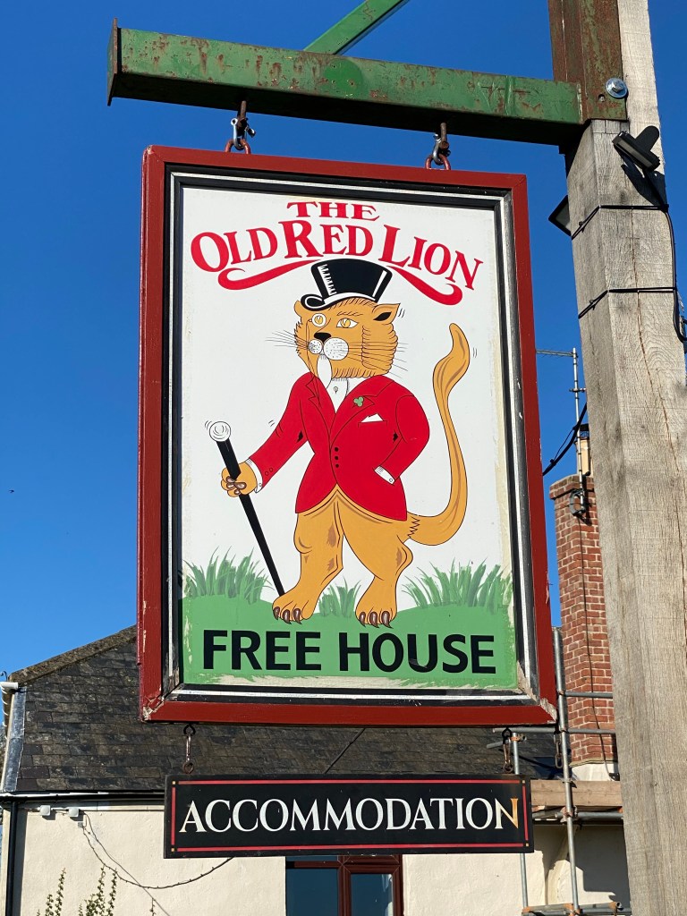
A few more rolling hills and we arrive at our accommodation for the night, The Bantham Tearooms, B & B, no camping in the area. Our earliest finish 2pm, so feet up time.

LEJOG Day 19 – Brauton to Bourton on the Water 19.46 miles. Cumulative 369.09

The previous day we had seen quite a few cyclists and we learnt there had been a 100 mile Cotswold sportive cycling event. As we were taking the tent down a neighbouring caravaner emerged to walk his dog wearing a medal around his neck, as you do at 7am. We got the hint and asked him what the medal was for. He had completed the ride and was understandably chuffed with his achievement having never done anything quite like that before. We chatted away about the ride and our walk. Half an hour later, as we were about to leave carrying our rucksacks, he emerged from his caravan and offered us a couple of boxes of Bantam eggs laid by his own chickens. We declined the eggs and he understood raw eggs might not travel well in a stuffed rucksack. Lynn would accepted chocolate eggs, whatever the weight.

A mixture of sun and cloud today, with a light sprinkle midday. A cool wind from the north.

We start out following the Monarchs Way again, this criss crossed the Macmillan Way today, so where we had the option we took the Macmillan Way which was more direct.

When King Charles II took the route (Monarchs Way) from Worcester to Shoreham (via Bristol) he covered 625 miles, the more direct route via the A44 & A4074 would have only been 144 miles, we think he should have used a satnav.

The route today passed throughout numerous small Cotswold villages, the most notable, Chedworth, is near the National Trust Chedworth Roman Villa occupied from 180-350 AD which was a place of ‘wealth, luxury and comfort’, just like our tent.

Our final port of call before the campsite was Bourton-on-the-Water, which was absolutely heaving with tourists, so we cracked on to the campsite. We are camped a 10 minute walk away and will revisit in evening, when we have been advised by the campsite owner it will be a lot quieter.

JOGLE Day 18 – Knockdown to Baunton20.6 miles. Cumulative 340.63 miles.

We spent the night on the border of Wiltshire and Gloucestershire, so this morning we entered county number five.

Another day with sunshine and high cloud.

The Macmillan Way took us through the Westonbirt National Arboretum, home to 15,000 trees, which we imagine will look amazing in the next couple of weeks as the trees start to blossom.

After the arboretum we leave the Macmillan Way and join the Monarchs Way, which was used by King Charles II to escape following his defeat by Cromwell.

Next we passed a back entrance to the Highgrove House estate, home to one of Steve’s acquaintances, we would have popped in for tea and a chat, but he was out. We carried on along his forebears’ escape route.

The Monarchs Way, which is very well signed, for escaping monarchs, takes us through Tetbury, and massive crop fields.

We pass near Cotswold Airport, formerly RAF Kemble, which was the training base for the Red Arrows until 1983. It is now a storage and scrap facility for airliners, we could see several, including a British Airways jumbo jet.

Just before we arrive in Cheltenham, we walk along a stretch of the disused Severn and Thames canal, which used to link the two rivers.

We also pass the impressive Royal Agricultural University, Steve rather likes the sound of Forestry and Land Management, so he can learn to chop logs.

We spend a leisurely afternoon in Cirencester before making our way to Mayfield Park campsite. An immaculate site, and the best welcome of the trip so far from Lynn, Carl, Nanna and Tinkerbell. Lynn really looked after us and it was lovely to sit and chat with her over a mug of tea. A campsite we would not hesitate to recommend. Thank you Lynn.

We both hope you all had a Happy Easter.

JOGLE Day 17 Stowford Farm to Knockdown. 26.14 miles Cumulative 320.03

Steve needed to ‘pop out’ at ten to six, as it was light and we were both awake, we decided to get as we had another long day ahead.

We head off to Bradford-On-Avon, where we re-supply. A lovely town, with lots of restaurants and river/canal side pubs. Somewhere to re-visit when we have time for a potter around without our backpacks.

Leaving Bradford-On-Avon, we face a steep climb, followed by even worse, two large ploughed fields. The fields bear a resemblance to the lava fields of Lanzarote, not something you want to walk across, but we had no choice.

The remainder of the route very much like yesterday covered a variety of terrain.

Our biggest surprise today was passing through Castle Combe, named England’s prettiest village in 1961. The village is split into two parts and no new houses have been built in the historic part of the town since 1600. It was heaving with tourists a real contrast to the rest of the route.

Today we crossed under the M4, next crossing the M42

Camping tonight is at The Holford Arms, Knockdown, very handy for dinner (not chicken).

Day 16 – North Breward to Stowford Manor Farm 22.58 miles. Cumulative 293.89 miles

‘The Old Red Lion’ – an oldy world bar alongside a modern dining room with extensive views, serving good food. Modern comfortable bedrooms.

Steve’s review: ‘if ever there was a pub in need of a new landlord this is it’. Our initial greeting from the landlady an accusatory ‘How did you get here, I didn’t hear a car pull up’… and the customer service skills didn’t improve.

Another lovely sunny day and a long hill awaited, which was not a good idea after a big breakfast, took us back to the Macmillan Way.

Today was a mixture of woodland walks farmland (no cows or pigs) a golf course and river banks. We passed through many beautiful villages, some busy with Easter events.

Towards the end of a long, but uneventful day we passed into Wiltshire, our fourth county.

Camping tonight is at Stowford Manor Farm, conveniently situated next to Farleigh Hungerford river swimming club, the only river swimming club in England. It is busy when we pass by early evening, but we had a tent to put up and dinner to cook. No lamb.

LEJOG Day 15 – Somerton to North Breward19.73 miles. Cumulative 271.31 miles

A delicious dinner, comfortable nights sleep and an enormous breakfast at the White Hart and we were ready for the off again.

A momentous occasion, a beautiful spring day and the legs are finally out.

After the steep climbs of Exmoor and The Quantocks and the dead flat of the Somerset Levels yesterday, this morning we continue on the Macmillan Way, a gently undulating walk along footpaths though farm land. Quite a few runners/joggers and the odd dog walkers around.

Lynn has a tendency to wander off the route if not ‘steered’ and Steve was pondering this problem and thinking of solutions like reins or a lead perhaps, such thoughts being kept very much to himself. Then came the obligatory animal encounter, courtesy of a herd of frisky young cows. As soon as we entered the field we knew they where going to be trouble and we checked the map but we had no alternative but to cross the field. It was very intimidating and they immediately surrounded us. Lynn did not wander off. We steadily made our way through the field with Steve doing his imitation of a farmer herding livestock, which just about kept them at bay. Lynn wears a Garmin which shows her heart rate, it spiked. Most farmers when setting an electric fence for cattle will leave a strip round the edge of the field for walkers when there is a public footpath through the field. This one had not. As we pondered how on earth walkers with a dog would have faired we looked back and saw the sign below. Steve wisely kept his own counsel. We didn’t get a photo of the cows.

A steep climb to Castle Cary and beyond takes us to our lunch stop, sat on a hilltop field enjoying the view north.

Our final stop is for a pot of tea in Bruton. Steve remembered inter school swimming galas against King’s Bruton School. Lynn doubts he can remember anything from that long ago!

Our substitute accommodation tonight is the Old Red Lion at North Breward.

Day 14 North Newton to Somerton 21 miles. Cumulative 251.58

We were not expecting much from a campsite right next to the M5, a site used by workers at Hinckley Point. We were pleasantly surprised, the facilities block looked like something you would find in a hotel.

Despite a much warmer night, no hats required, neither of us got a good nights sleep, which we put down to a strong coffee after dinner – we won’t be doing that again.

A foggy start soon cleared for an ideal walking day, high cloud, mild and no wind.

Our route took us over the M5 and along the Bridgewater and Taunton Canal, before switching to the River Parrett, a flat walk along good paths as far as Langport. We had some free entertainment provided by an aeroplane practising aerial acrobatics.

Old pumping house
Church at Burrow Mump

En-route to Langport we were contacted by a campsite cancelling our camping booking for tomorrow, not a lot of notice when they apparently knew several days ago they were unable to accommodate us due to mains water issues. We pondered Plan Bs as we walked.

After Langport it should have been an easy 6 mile walk along the river to Somerton. However, after walking a mile along a path through long grass we were supposed to cross a footbridge and continue on the opposite bank. Unfortunately, an in-passable gate had been erected across the footpath by the Environment Agency, surrounded by rivers and dykes on three sides, we had no option but to retrace our route back to Langport. Steve sprang into action and came up with a new route using minor roads and footpaths.

We finally arrived in Somerton a little later than anticipated. Luckily, we had bed and breakfast and evening meal booked in The White Hart.

We managed to change our onward route and find a B & B to replace our campsite for tomorrow. Time for a well deserved drink.

Day 13 Blue Anchor to North Newton 24.04 miles. Cumulative 230.58

Awake before the alarm today, thanks to a number of rookeries near our tent. A dry day, we followed a big black cloud for most of it, but fortunately didn’t catch it up.

We continued along the coast path towards Watchet, misinterpreting a diversion sign as we left Blue Anchor. After 3 kilometres we reached a cliff fall, which was fortunately just passable. Steve being a gentleman for a change offered to go first. Safely though we arrived in Watchet, where the diversion was better signed.

Shortly after Watchet we left the coast and head towards the Quantocks, we won’t return to the coast until we reach Scotland.

Watchet is a pretty town, with a food and craft market on a Wednesday, which was just setting up as we arrived. We found ‘The Chive Cafe’ for small sausage roll and pot of tea.

Harbour Wall
mural

A long climb ‘south’ through the Quantocks, can this be right? A lovely walk with lots to look at, views out to the coast of Wales and the new Hinckley Point C power station, more deer and some really cute cows. The path was busy with other walkers and cyclists.

After dropping down off the Quantocks, our afternoon walk took us through farmland and a woodland, river walk.

At our final break we were sat by the side of the track when up the path trotted 7 pigs. Steve grabbed his phone to take pictures and then had to encourage them away as one started to eat Lynn’s rucksack. While Steve was doing this Lynn had vanished, faster than Steve could say the ‘S’ of sausage rolls, over a stile, the fastest she had moved in a long time. Apparently she is permanently traumatised after being chased by pigs as a young child.

A quick supplies stop in North Petherton before the campsite at North Newton and a delicious meal (no pork) at the Harvest Moon Pub, where the Italian proprietor, herself a keen walker was amazed and interested to hear about our walk.

LEJOG Day 12 Exford to Blue Anchor 18.25 miles. Cumulative 206.54

According to Steve it rained all night, Lynn slept through this. A final downpour while Lynn made breakfast, it then remained dry for the rest of the day, except for another downpour mid afternoon.

A steep climb out of the campsite to rejoin the MMW and we headed up to Dunkery Beacon, the high point of the day. Unfortunately, we were in low cloud at the top so cannot report on the views.

The route dropped down towards the pretty village of Wootton Courtenay, within half an hour the clouds had lifted and the views were amazing – should have had a lie in.

Another very steep climb takes us up and over to the seaside town of Minehead.

The MMW took us into Minehead High Street right by the ‘The Duke of Wellington’ Wetherspoons. Rude not to. Steak Tuesday was hard to resist unfortunately the waiter bringing our meals had a spectacular trip as she was approaching our table. After a major clear up operation and re cooked meals we re-supplied in Minehead and enjoyed the seafront England Coast Path to Home Farm campsite at Blue Anchor passing Butlins and Dunster Beach.

The new England Coast Path, 2795 miles in length, there’s a thought.

Steve was entertained by the West Somerset Steam Railway which runs from Minehead to Bishops Lydeard including a stop near the campsite in Blue Anchor.

LEJOG Day 11 Barnstaple to Exford 20.50 miles. Cumulative 188.29 miles

Another breezy night but slightly warmer. The day remains windy with sunny spells.

After a couple of short, flat days along the Tarka Trail it’s back to work today, as we climb up onto Exmoor. Our route is initially along lanes and a climb takes us to Stoke Rivers, despite the name we didn’t see a river. After passing the village of Brayford we cross the Exmoor National Park Boundary.

Soon after we leave lanes behind us to join the Macmillan Way West (MMW). We will be using the MMW for the next nine days, hopping off occasionally to reach our accommodation.

A few long steep climbs with some amazing views behind us to Dartmoor and the North Devon coast as far as Hartland Point. We climb nearly 3200 feet by the end of the day.

In contrast to Dartmoor, Exmoor is less rugged and the livestock are fenced to save them wandering into the road, it has some beautiful landscapes with wild moorland and steep valleys.

We crossed the Devon/Somerset border and dropped down to Simonsbath, across the valley we spot a large herd of stags. A couple of ‘deer spotters’ further down the road point out several hundred deer on a distant hillside. Apparently, it’s very unusual to spot them this low down the moors at this time of year.

After Simonsbath we are on the home stretch, as we near the campsite we have a much closer encounter with some stags very close to the path we are taking. They run off when they spot us.

Camping tonight is at Westermill Farm, where Lynn makes another new friend.